ATLAS Resources

Earthdata resources for users working with NASA's Advanced Topographic Laser Altimeter System (ATLAS) instrument include tutorials and other learning resources, news announcements such as instrument updates and data releases, user guides and related documents, and frequently asked questions.

ATLAS Learning Resources

Filters
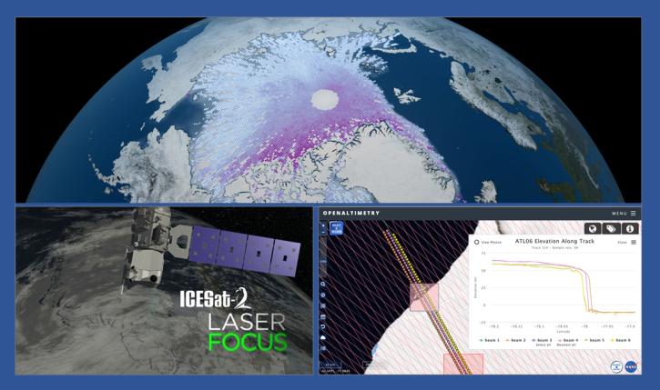
During this webinar we will introduce the ICESat-2 mission and show you how to explore, access and customize ICESat-2 data with the advanced discovery and visualization OpenAltimetry application, directly filter and access ICESat-2 data from an NSIDC DAAC data set page and subset, reformat and analyze ICESat-2 data using Python-based resources.
Webinar
Feb. 18, 2020
SHOWING 5 OF 13

ATLAS News

Filters
Data from NASA’s NSIDC DAAC helps scientists like Dr. Kristin Poinar develop the next generation of models for forecasting sea-level rise from melting glaciers and ice sheets.
Data User Story
The new Sea Level Change Data Pathfinder highlights the different datasets used to piece together the status and drivers of sea level rise.
Feature Article
Feb. 18, 2022
Data from NASA’s NSIDC DAAC helps scientists like Dr. Melinda Webster study sea ice and overcome the challenges of working in the Arctic’s inhospitable environments.
Data User Story
Who uses NASA Earth science data? Dr. Nancy Glenn, to study dryland ecosystems.
Data User Story
SHOWING 4 OF 39

Get Help

QUESTIONS & SUPPORT

Have a question?

Get help with NASA Earth science data, datasets, tools, services, and metadata on the Earthdata Forum. Experienced staff in the data user community review and answer questions.

Get help on Earthdata Forum
Earthdata
Forum