We are in the process of migrating all NASA Earth science data sites into Earthdata from now until end of 2026. Not all NASA Earth science data and resources will appear here until then. Thank you for your patience as we make this transition.
Read about the Web Unification Project
LIS Resources
Read the latest Lightning Imaging Sensor (LIS) news and access learning resources designed to help you optimize your Earth science research.
LIS Learning Resources

Visualize lightning flash locations across several user-selected Lightning Imaging Sensor aboard the International Space Station (ISS LIS) swath data files and other processes.
Data Recipe
Jan. 4, 2018

This data recipe shows how to bring gridded netCDF data into ArcMap and create a GeoTIFF file enabling GIS analysis and map making.
Data Recipe
Oct. 10, 2017
SHOWING 2 OF 10

A summary of datasets, products, and resources released by NASA’s Distributed Active Archive Centers (DAACs) in July 2025.
News
Aug. 13, 2025
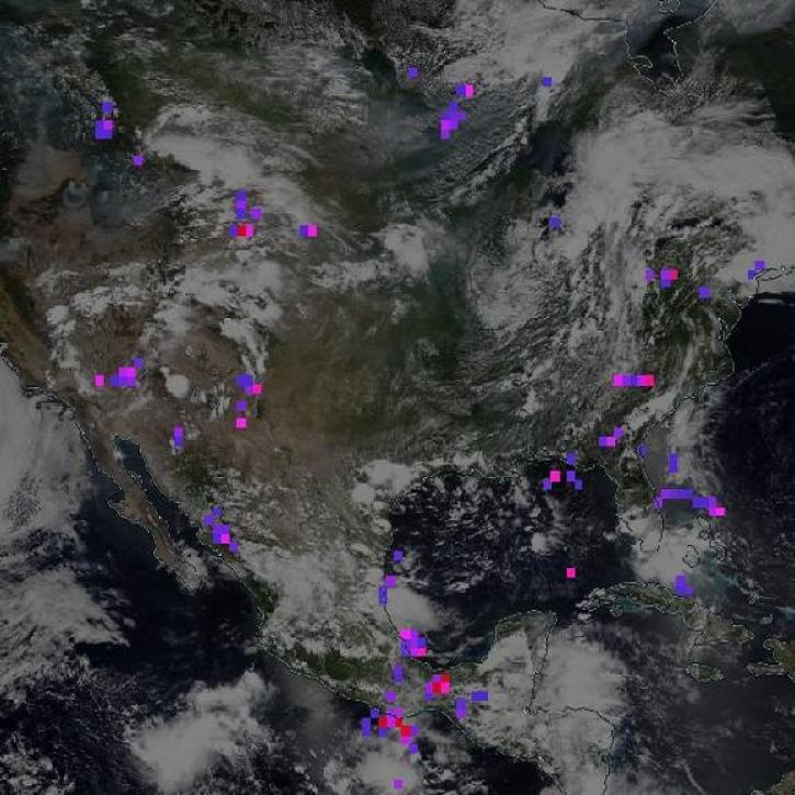
The Lightning Imaging Sensor measured the amount, rate, and radiant energy of lightning around the globe both day and night.
Feature Article
Nov. 13, 2023

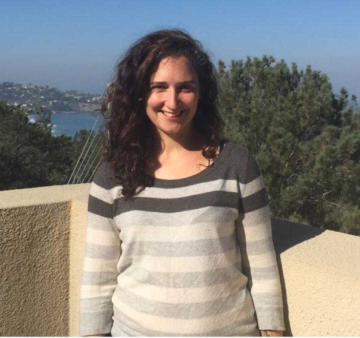
NASA’s GHRC DAAC helps scientists like Dr. Timothy Lang use lightning data to better understand the processes in convective storms.
Data User Story
Nov. 21, 2022
Data from NASA’s GHRC DAAC helps scientists like Dr. Anna Wilson develop accurate representations of atmospheric rivers to increase forecast accuracy and improve weather model outputs.
Data User Story
Dec. 21, 2021
SHOWING 4 OF 25
Frequently Asked Questions
Earthdata Forum
Our online forum provides a space for users to browse thousands of FAQs about research needs, data, and data applications. You can also submit new questions for our experts to answer.
Submit Questions to Earthdata Forumand View Expert Responses