We are in the process of migrating all NASA Earth science data sites into Earthdata from now until end of 2026. Not all NASA Earth science data and resources will appear here until then. Thank you for your patience as we make this transition.
Read about the Web Unification Project
TEMPO Resources
Earthdata resources for users working with NASA’s Tropospheric Emissions: Monitoring Pollution (TEMPO) data include tutorials and other learning resources, news announcements such as instrument updates and data releases, user guides and related documents, and frequently asked questions.
Table of contents
TEMPO Learning Resources
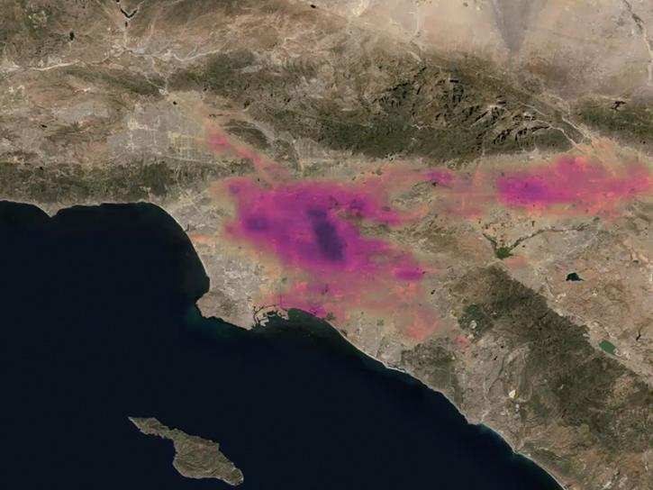
This training will provide an overview of TEMPO capabilities and available trace gas data products, and illustrate how TEMPO data can be visualized.
Training
Jan. 20-22, 2026
Understanding and Visualizing NO2 and HCHO Data from the STAQS and TEMPO Missions
StoryMap
Sept. 24, 2025
This in-person ARSET training provides an overview of TEMPO observations and highlight example air quality applications in the Western U.S.
Training
Aug. 5-7, 2025
This notebook demonstrates how to retrieve and visualize TEMPO data, using harmony-py to subset the data in the cloud, prior to downloading files.
External Resource
GitHub Repository
May 27, 2025
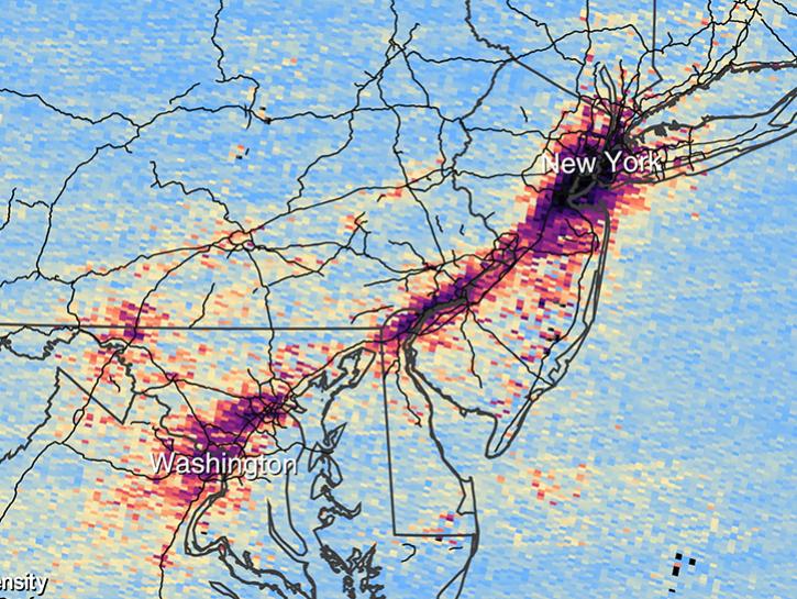
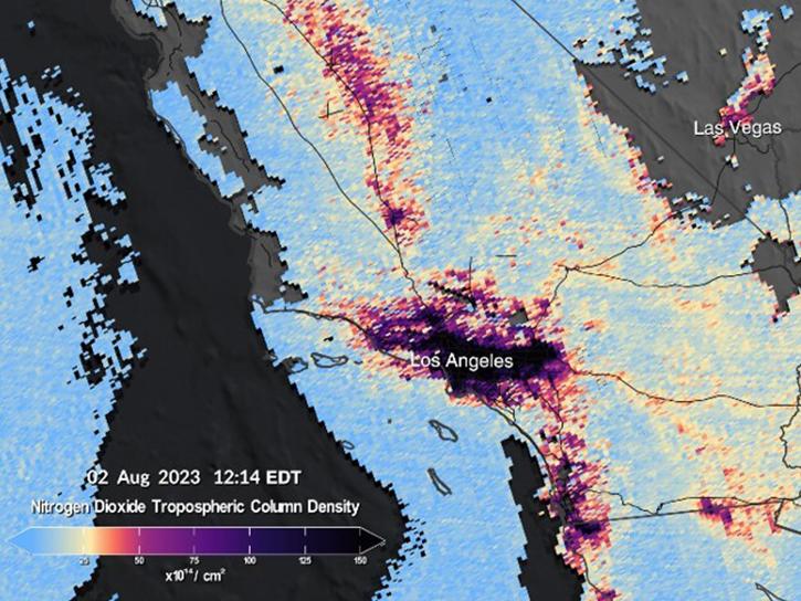
This notebook retrieves TEMPO data, inspects characteristics of the data such as array shapes and quality flags, and then creates a visualization of total column nitrogen dioxide concentrations.
External Resource
GitHub Repository
May 27, 2025
This notebook illustrates a comparison of ultra-violet aerosol index (UVAI) between TEMPO and DSCOVR EPIC.
External Resource
GitHub Repository
This notebook illustrates a comparison of TEMPO ultra-violet aerosol index (UVAI) against DSCOVR EPIC UVAI as well as a comparison of DSCOVR EPIC AOD against AERONET.
External Resource
GitHub Repository
May 21, 2025
This training uses the Remote Sensing Information Gateway (RSIG) to easily and quickly access and analyze TEMPO data.
External Resource
GitHub Repository
Jan. 27, 2025
NASA’s Atmospheric Science Data Center (ASDC) GitHub hosts tutorials, code, and guides to help Earth science data users address air quality and other environmental challenges.
News
Feb. 13, 2025
The atlas now features NASA Earth science data formatted specifically for geographic information systems (GIS) users.
Feature Article
Jan. 7, 2025
More than a dozen Level 1, 2, and 3 data products from NASA's Tropospheric Emissions: Monitoring of Pollution (TEMPO) Version 03 collection are now available at provisional maturity.
News
Dec. 16, 2024
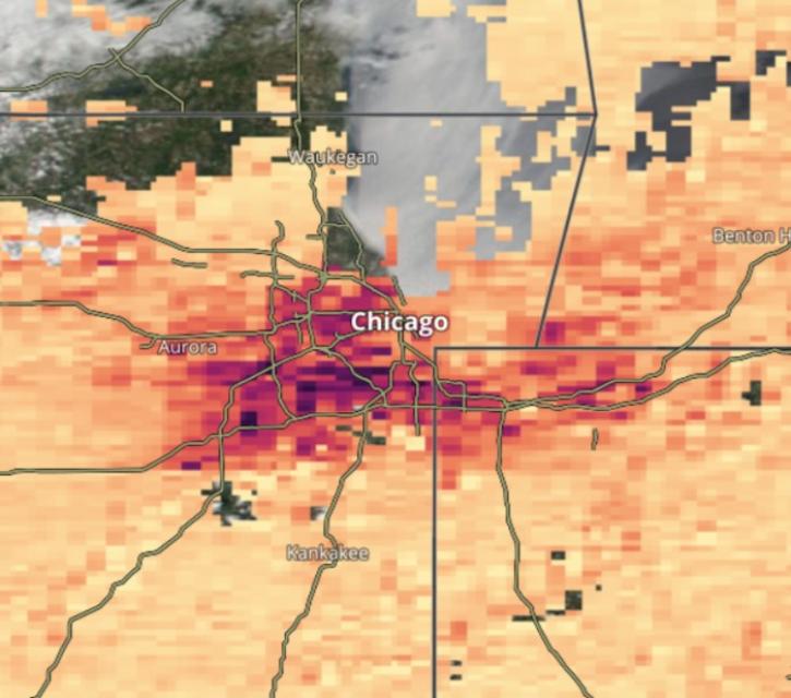
Image captured on Dec 10, 2024, by the TEMPO instrument aboard the Intesat-40e platform.
Worldview Image of the Week
Dec. 12, 2024
Frequently Asked Questions
Earthdata Forum
Our online forum provides a space for users to browse thousands of FAQs about research needs, data, and data applications. You can also submit new questions for our experts to answer.
Submit Questions to Earthdata Forumand View Expert Responses
