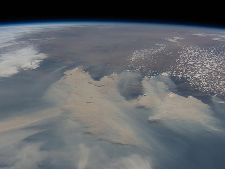
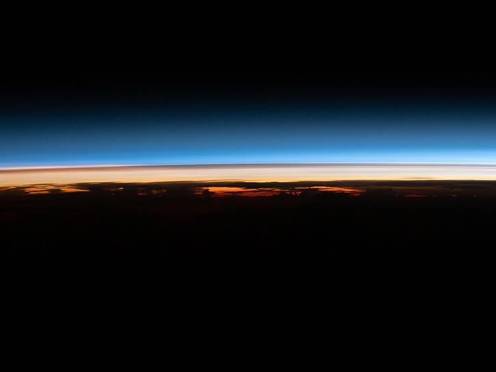
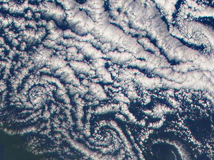
Aboard NASA’s many platforms are sophisticated instruments that collect a wide range of data about our planet. Our instruments can track wildfires in real time, detect minute changes in the Earth’s atmosphere, and help agricultural communities optimize their crop cycles. Explore how our data can enhance your Earth science research.

 

Explore Instruments

Filters
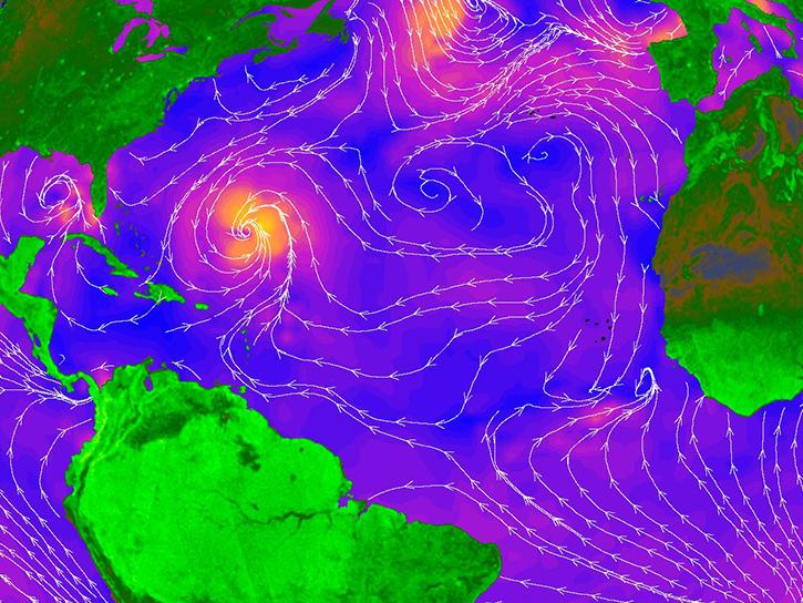
RapidScat provided all-weather ocean surface wind vector measurements over the ice-free global oceans.
9 datasets

RBV

The Return Beam Vidicon (RBV) aboard Landsat 1, Landsat 2, and Landsat 3 used a television camera tube that formed an image by focusing light onto a photoconductive faceplate.
NASA's Stratospheric Aerosol and Gas Experiment II (SAGE II) determines the spatial distributions of stratospheric aerosols, ozone, nitrogen dioxide, water vapor, and cloud occurrence by mapping vertical profiles and calculating monthly averages of each.
11 datasets
SHOWING 8 OF 196

Join Our Community of NASA Data Users

While NASA data are openly available without restriction, an Earthdata Login is required to download data and to use some tools with full functionality.

Learn About the Benefits of Earthdata Login

Get Help

QUESTIONS & SUPPORT

Have a question?

Get help with NASA Earth science data, datasets, tools, services, and metadata on the Earthdata Forum. Experienced staff in the data user community review and answer questions.

Get help on Earthdata Forum
Earthdata
Forum