Delivery of Suomi National Polar-orbiting Partnership (Suomi NPP) satellite data products will cease on November 1, 2026. Data users should transition now to alternative products from NOAA-21 and NOAA-20.
Suomi NPP data announcement
ISS Resources
ISS Documents
| Name Sort descending | Description | File Type | Date Published | |
|---|---|---|---|---|
| Atmospheric Correction using Cloud & Shadow | Atmospheric Correction using Cloud & Shadow | PDF (3.6 mb) | April 6, 2011 | |
| Atmospheric Correction Using Tafkaa | Atmospheric Correction Using Tafkaa | PDF (522.98 kb) | April 6, 2011 | |
| GEDI L4C Gridded User Guide | GEDI L4C Gridded User Guide | PDF (281.48 kb) | Dec. 8, 2025 | |
| HICO Data Distribution at OSU | HICO Data Distribution at OSU | PDF (1.42 mb) | April 6, 2011 | |
| HICO Data Sets and Products | HICO Data Sets and Products | PDF (11.84 mb) | April 6, 2011 | |
| HICO data: Life after level 1b | HICO data: Life after level 1b | PDF (11.89 mb) | April 6, 2011 | |
| HICO Mission Planning and Operations | HICO Mission Planning and Operations | PDF (3.03 mb) | April 6, 2011 | |
| HICO ON-ORBIT CALIBRATION AND DATA CORRECTIONS | HICO ON-ORBIT CALIBRATION AND DATA CORRECTIONS | PDF (2.85 mb) | April 6, 2011 | |
| Hyperspectral Imager for the Coastal Ocean (HICO) Performance Testing and Calibration HICO User Group (HUG) | Hyperspectral Imager for the Coastal Ocean (HICO) Performance Testing and Calibration HICO User Group (HUG) | PDF (1.26 mb) | April 6, 2011 | |
| ISS RapidScat Fact Sheet | Summary of Facts about the ISS-RapidScat mission. | PDF (963.48 kb) | Sept. 8, 2014 | |
| Ocean Products and Atmospheric Removal in APS | Ocean Products and Atmospheric Removal in APS | PDF (6.05 mb) | April 6, 2011 | |
| Ocean Products Using a Look-Up-Table Approach | Ocean Products Using a Look-Up-Table Approach | PDF (13.66 mb) | April 6, 2011 | |
| Ocean Products Using Multispectral Algorithms | Ocean Products Using Multispectral Algorithms | PDF (2.06 mb) | April 6, 2011 | |
| Overview of data processing to Level 1B | Overview of data processing to Level 1B | PDF (541.3 kb) | April 6, 2011 | |
| Overview of the HICO Instrument | Overview of the HICO Instrument | PDF (5.21 mb) | April 6, 2011 |
ISS Learning Resources
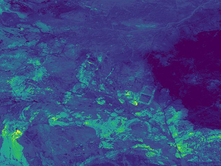
Use the earthaccess Python library to find EMIT L2B Mineral Identification Band Depth and Uncertainty data.
External Resource
GitHub Repository
June 28, 2024
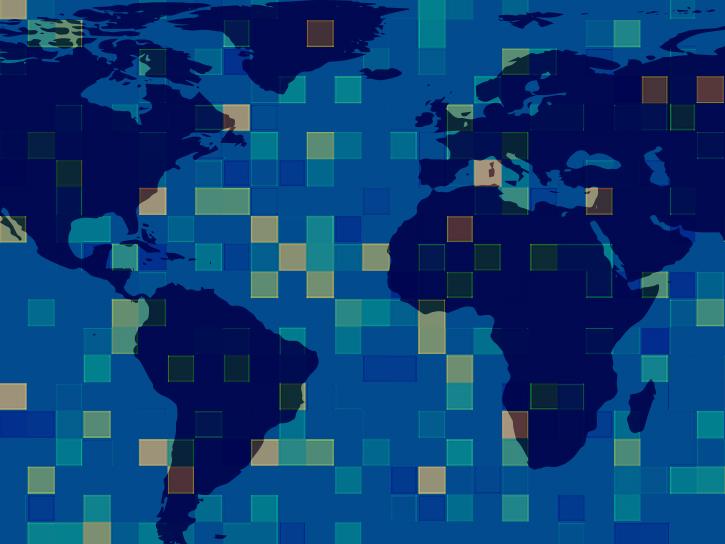
Use the earthaccess Python library to find and download or stream EMIT data.
External Resource
GitHub Repository

Our Earth Data Officer, Katie Baynes, spoke at the Federal GIS Conference Plenary. In case you missed her presentation, here is a story map for you to catch up on how NASA Earth data can be leveraged in your GIS project.
StoryMap
March 5, 2025
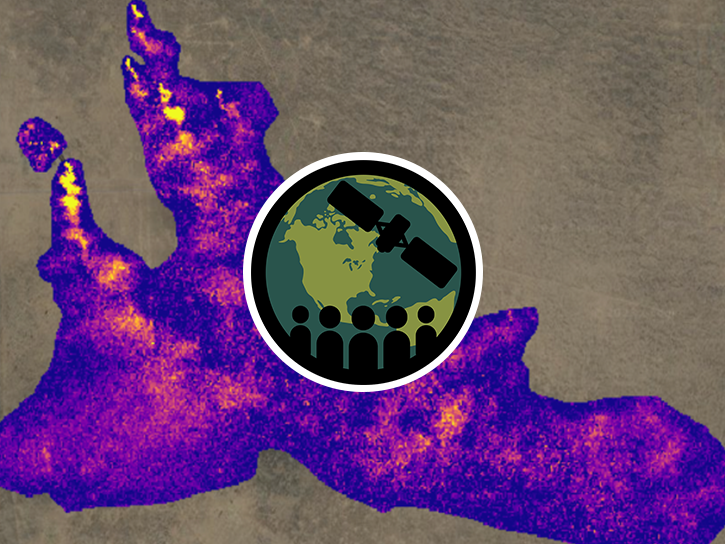
This ARSET training describes how observations from the EMIT mission can be used to identify and monitor areas of high methane enhancement.
Training
Nov. 19-21, 2024
Esta capacitación de ARSET describe cómo las observaciones de la misión EMIT pueden utilizarse para monitorear áreas con altos niveles de metano.
Training
Nov. 19-21, 2024
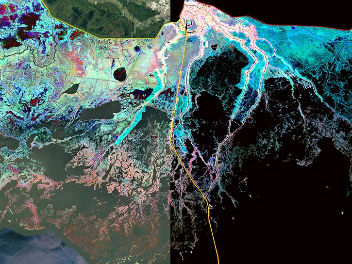
Join us to learn more about datasets and tools that enable the harmonization of remote sensing and in situ ecological data products for site-based research.
Webinar
Aug. 22, 2024

Join us for an introduction to NASA’s Global Ecosystems Dynamics Investigation (GEDI) datasets and to learn how to use LP DAAC's web service, data prep script, and Jupyter Notebook Python tutorial series.
Webinar
Aug. 21, 2024
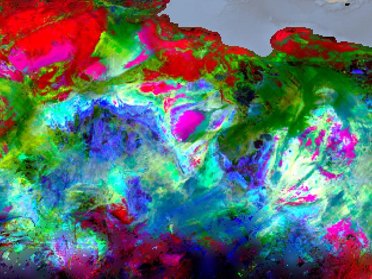
Join representatives from NASA's Land Processes Distributed Active Archive Center (LP DAAC) to explore NASA's Earth Surface Mineral Dust Source Investigation (EMIT) data resources.
Webinar
April 22, 2024
SHOWING 8 OF 77
ISS News
View All News
Filters

New infrared surveys of silicates and related minerals provide insights for geological research, renewable energy, and rare Earth mineral exploration.
News
Sept. 11, 2026
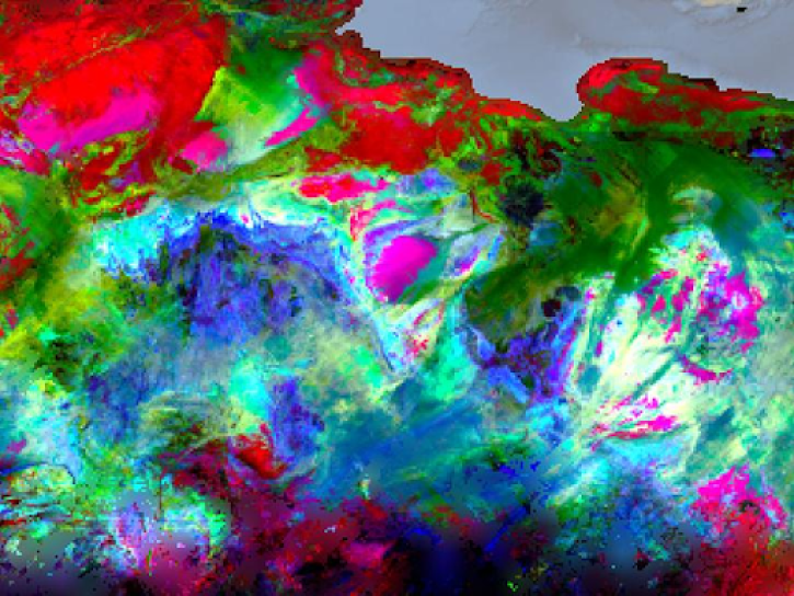
Learn how to leverage hyperspectral data from the USGS-NASA GEMx airborne campaign and NASA's EMIT mission for the discovery of critical minerals.
Event
Aug. 7, 2026
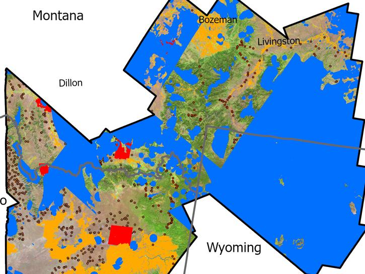
USGS researchers found NASA’s imaging spectroscopy satellite data could significantly improve identification of vegetation types across rangelands.
News
June 25, 2026
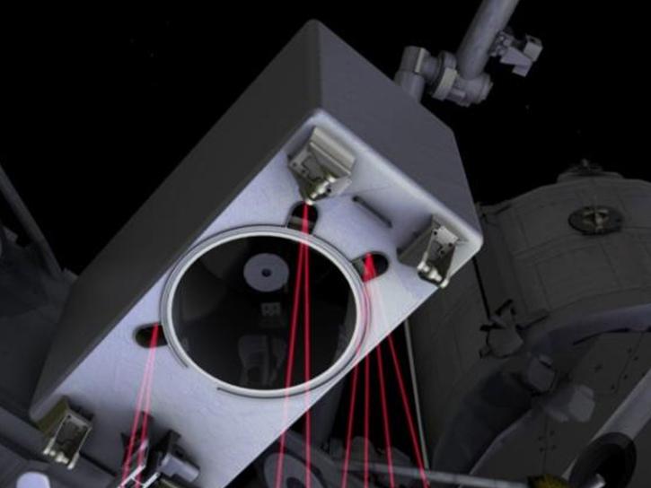
This NASA ARSET training program teaches participants to process data from the Global Ecosystems Dynamics Investigation (GEDI) instrument in the Online Biomass Inference using Waveforms and iNventory (OBIWAN) API to map vegetation structure.
Feature Article
April 22, 2026
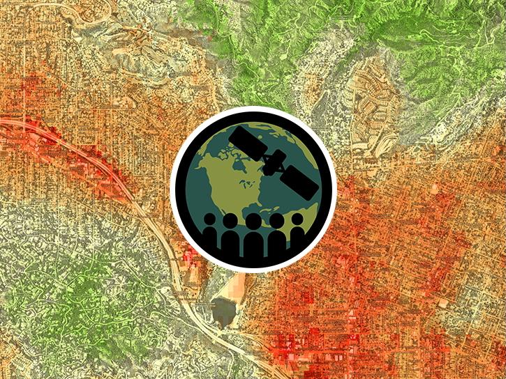
This training offered by NASA's ARSET program focuses on fundamentals of thermal infrared remote sensing and on applications for urban heat assessment.
News
March 31, 2026
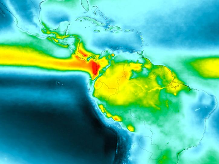
Looking to brush up your skills in GIS? You’re in luck—Earthdata has released new tutorials and data recipes for GIS users.
News
Nov. 17, 2025

Using machine learning models, researchers identify high ECOSTRESS Water Use Efficiency ratios as the most influential pre-fire factor.
News
Sept. 25, 2025

A summary of datasets, products, and resources released by NASA’s Distributed Active Archive Centers (DAACs) in August 2025.
News
Sept. 4, 2025
SHOWING 8 OF 83
Get Help
QUESTIONS & SUPPORT
Have a question?
Get help with NASA Earth science data, datasets, tools, services, and metadata on the Earthdata Forum. Experienced staff in the data user community review and answer questions.
Get help on Earthdata ForumEarthdata
Forum
Forum