Delivery of Suomi National Polar-orbiting Partnership (Suomi NPP) satellite data products will cease on November 1, 2026. Data users should transition now to alternative products from NOAA-21 and NOAA-20.
Suomi NPP data announcement
Landsat 8 Resources
Landsat 8 Learning Resources
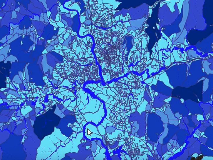
The Emergency Environmental Health Dashboard helped local communities assess water quality risks and infrastructure damage following Hurricane Helene and Tropical Storm Chantal.
Data in Action
Nov. 18, 2025

This Jupyter Notebook shows users how to find and access Global Land Cover Mapping and Estimation Yearly 30 meter (GLanCE30) data.
External Resource
Jupyter Notebook
July 23, 2025

Using SNWG's OPERA DSWx product, USGS is able to monitor streamflow from space, augmenting hazardous in-person collection techniques.
Data in Action
July 8, 2025
Learn how to search for, access, and process HLS data.
External Resource
GitHub Repository
Sept. 20, 2024
Find, download, and subset HLS data from a command line executable.
External Resource
GitHub Repository
April 16, 2025
Find and download HLS data.
External Resource
GitHub Repository
May 1, 2024
Tutorial demonstrating how to search for, access, and process HLS data in R.
External Resource
GitHub Repository

Join us on Thursday, May 29, to learn about the NASA JPL OPERA Surface Displacement (OPERA-DISP) dataset and how to access and explore the data using ASF DAAC's Displacement Portal.
Webinar
May 14, 2025
SHOWING 8 OF 80
Landsat 8 News
View All News
Filters
AppEEARS allows users to subset data spatially, temporally, and by layer, reducing the amount of data they need to download.
Feature Article
April 3, 2023

NASA near real-time data help Lori Schultz respond to agencies that reach out to NASA in the wake of natural disasters.
Data User Story
Jan. 31, 2023

Data from NASA’s OB.DAAC help scientists like Dr. Brice Grunert understand the processes governing carbon cycling in Earth’s ocean.
Data User Story
Dec. 21, 2022
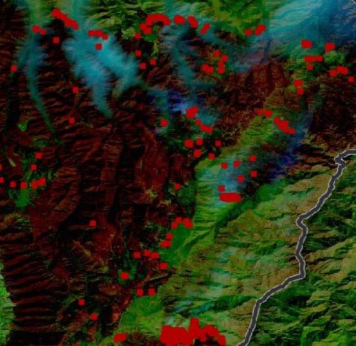
Thirty-meter data from the Operational Land Imager aboard Landsat 8 and 9 offer greater resolution than MODIS and VIIRS.
Feature Article
Oct. 31, 2022
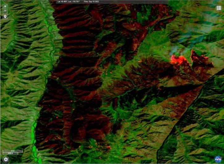
This new near real-time Landsat Fire and Thermal Anomaly active fire product is the result of an ongoing collaboration by NASA LANCE/FIRMS, University of Maryland, USDA Forest Service, and USGS EROS Data Center.
Blog
Oct. 31, 2022

Our experts break down the similarities and differences of Earth observation sensors operated by NASA.
Blog
Sept. 29, 2022
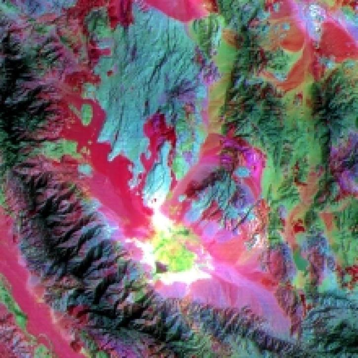
Infrared data from NASA’s satellites and other sources offer researchers views of Earth’s hidden or obscured features and processes.
Feature Article
Sept. 26, 2022
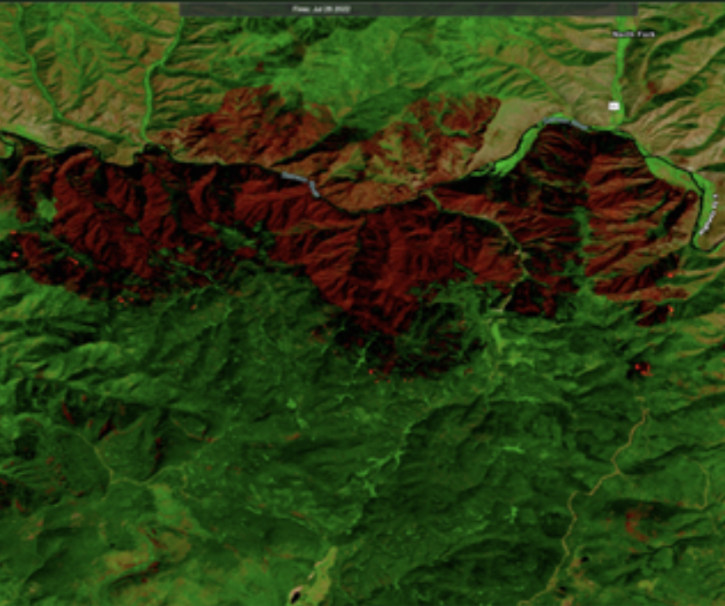
Users can now integrate HLS True Color and False Color Composite Imagery from Landsat 9 in addition to Landsat 8.
Blog
Aug. 23, 2022
SHOWING 8 OF 67
Frequently Asked Questions
Earthdata Forum
Our online forum provides a space for users to browse thousands of FAQs about research needs, data, and data applications. You can also submit new questions for our experts to answer.
Submit Questions to Earthdata Forumand View Expert Responses