We are in the process of migrating all NASA Earth science data sites into Earthdata from now until end of 2026. Not all NASA Earth science data and resources will appear here until then. Thank you for your patience as we make this transition.
Read about the Web Unification Project
Landsat 8 Resources
Landsat 8 Learning Resources

Esta capacitación de ARSET cubre técnicas para mejorar prácticas de gestión sostenible de la tierra.
Training
Feb. 5-19, 2019

This ARSET training provides an overview of remote sensing products, tools, and applications for ecological modeling.
Training
Sept. 7-28, 2017

This ARSET training covers how to use remote sensing to identify impaired water quality from harmful algal blooms.
Training
Sept. 5-26, 2017

This ARSET training provides an overview of drought classification and web-based tools for drought monitoring and visualization.
Training
July 12-19, 2017

This ARSET training focuses on using satellite imagery for land cover classification.
Training
Jan. 31 - Feb. 7, 2017

This ARSET training covers NASA soil moisture and evapotranspiration products and how to access and apply them for water resource management.
Training
Sept. 1-29, 2016

This ARSET training focuses on regional and global observation resources for conservation management.
Training
May 5 - June 2, 2015
SHOWING 7 OF 79
Landsat 8 News
View All News
Filters
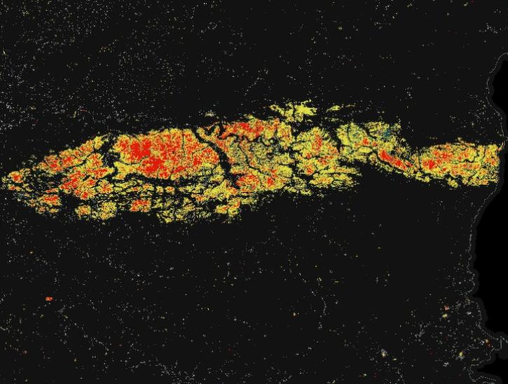
Image for May 8, 2025, derived from OPERA's Harmonized Landsat Sentinel-2 Land Surface Disturbance data.
Worldview Image of the Week
May 15, 2025

Join us on Thursday, May 29, to learn about the NASA JPL OPERA Surface Displacement (OPERA-DISP) dataset and how to access and explore the data using ASF DAAC's Displacement Portal.
Webinar
May 14, 2025
Two new Earthdata tutorials guide users in accessing Landsat 8 data using the Application for Extracting and Exploring Analysis Ready Samples (AppEEARS) tool.
News
March 13, 2025

Users of NASA’s Fire Information for Resource Management System (FIRMS) can now differentiate between fires caused by burning vegetation and fires from natural heat sources or industrial heat sources.
Blog
March 7, 2025

A summary of datasets, products, and resources released by NASA’s Distributed Active Archive Centers (DAACs) in February 2025.
News
March 6, 2025

These new vegetation indices offer the same near-global coverage, and 30-meter spatial resolution as the initial HLS products.
News
Feb. 19, 2025
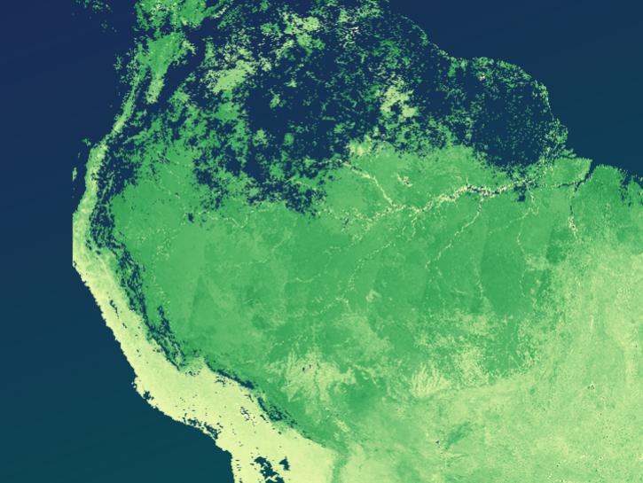
Image captured on February 2, 2025, from the OLI instrument aboard the Landsat 8 satellite.
Worldview Image of the Week
Feb. 6, 2025

A summary of datasets, products, and resources released by NASA’s Distributed Active Archive Centers (DAACs) in November 2024.
News
Dec. 4, 2024
SHOWING 8 OF 64
Frequently Asked Questions
Earthdata Forum
Our online forum provides a space for users to browse thousands of FAQs about research needs, data, and data applications. You can also submit new questions for our experts to answer.
Submit Questions to Earthdata Forumand View Expert Responses