We are in the process of migrating all NASA Earth science data sites into Earthdata from now until end of 2026. Not all NASA Earth science data and resources will appear here until then. Thank you for your patience as we make this transition.
Read about the Web Unification Project
Suomi NPP Resources
Suomi NPP Learning Resources

This training builds capacity to apply Python codes and other online tools to work with datasets from NASA's Goddard Earth Observing System (GEOS).
Training
Feb. 22 - March 1, 2022

Esta capacitación de ARSET cubre el Kit de herramientas de observación de la Tierra para ciudades y asentamientos humanos sostenibles.
Training
Jan. 27 - Feb. 10, 2022
This ARSET training provides an overview of the Earth Observations Toolkit for Sustainable Cities and Human Settlements.
Training
Jan. 27 - Feb. 10, 2022

This ARSET training reviews pre-fire risk assessment and post-fire mapping using open-source tools like Google Earth Engine.
Training
Jan. 18-20, 2022

Learn about the NASA DEVELOP internship projects that used data distributed by the Land Processes Distributed Active Archive Center (LP DAAC) in spring 2021.
StoryMap
Dec. 3, 2021

This ARSET training provides participants with the skills to combine in situ measurements and optical remote sensing data to assess water quality.
Training
Nov. 30 - Dec. 7, 2021

Join us for an overview of NASA's LAADS DAAC, its Level-1 and atmospheric data products, and to explore different options to search, discover, and acquire the data.
Webinar
Oct. 25, 2021

This ARSET training provides an overview of NASA resources for monitoring climate change and its impacts.
Training
Sept. 29 - Oct. 6, 2021
SHOWING 8 OF 67
Suomi NPP News
View All News
Filters

A summary of datasets, products, and resources released by NASA’s Distributed Active Archive Centers (DAACs) in August 2023.
News
Sept. 5, 2023

For meteorologist David Peterson, Ozone Mapping and Profiler Suite (OMPS) data are crucial for studying pyrocumulonimbus events.
Data User Story
Aug. 28, 2023

Base image captured August 23, 2023, by the VIIRS instrument aboard the joint NASA/NOAA Suomi NPP satellite, overlaid with IMERG Precipitation Rate.
Worldview Image of the Week
Aug. 24, 2023

Image captured on Aug 2, 2023, by the VIIRS instrument aboard the joint NASA/NOAA Suomi NPP satellite.
Worldview Image of the Week
Aug. 3, 2023

NASA Earth science data help scientists like Dr. Dan Runfola estimate the socioeconomic status of individuals around the globe.
Data User Story
July 27, 2023
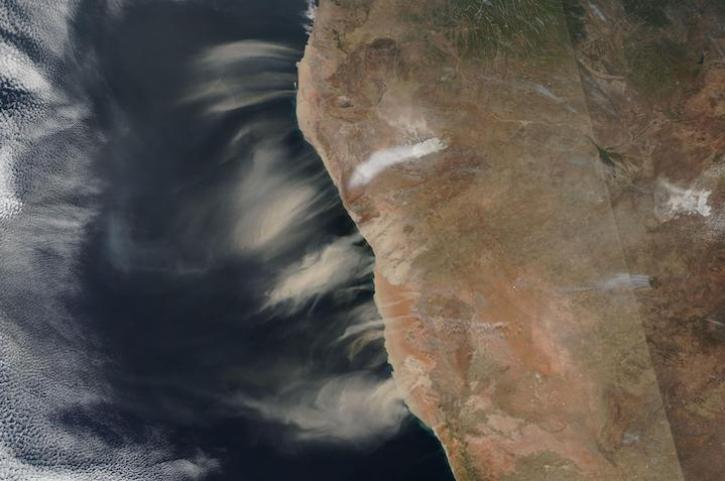
Image captured July 11, 2023, by the VIIRS instrument aboard the joint NASA/NOAA Suomi NPP satellite.
Worldview Image of the Week
July 13, 2023

Terrestrial Ecology Subsetting and Visualization Services (TESViS) supports ecological field research in easy-to-use formats.
Feature Article
June 30, 2023

NASA Earth science data help scientists like Dr. Eric Wilcox investigate how the interaction of aerosols and clouds impacts climate.
Data User Story
June 29, 2023
SHOWING 8 OF 333
Frequently Asked Questions
Earthdata Forum
Our online forum provides a space for users to browse thousands of FAQs about research needs, data, and data applications. You can also submit new questions for our experts to answer.
Submit Questions to Earthdata Forumand View Expert Responses