We are in the process of migrating all NASA Earth science data sites into Earthdata from now until end of 2026. Not all NASA Earth science data and resources will appear here until then. Thank you for your patience as we make this transition.
Read about the Web Unification Project
Suomi NPP Resources
Suomi NPP Learning Resources

This training builds capacity to apply Python codes and other online tools to work with datasets from NASA's Goddard Earth Observing System (GEOS).
Training
Feb. 22 - March 1, 2022

Esta capacitación de ARSET cubre el Kit de herramientas de observación de la Tierra para ciudades y asentamientos humanos sostenibles.
Training
Jan. 27 - Feb. 10, 2022
This ARSET training provides an overview of the Earth Observations Toolkit for Sustainable Cities and Human Settlements.
Training
Jan. 27 - Feb. 10, 2022

This ARSET training reviews pre-fire risk assessment and post-fire mapping using open-source tools like Google Earth Engine.
Training
Jan. 18-20, 2022

Learn about the NASA DEVELOP internship projects that used data distributed by the Land Processes Distributed Active Archive Center (LP DAAC) in spring 2021.
StoryMap
Dec. 3, 2021

This ARSET training provides participants with the skills to combine in situ measurements and optical remote sensing data to assess water quality.
Training
Nov. 30 - Dec. 7, 2021

Join us for an overview of NASA's LAADS DAAC, its Level-1 and atmospheric data products, and to explore different options to search, discover, and acquire the data.
Webinar
Oct. 25, 2021

This ARSET training provides an overview of NASA resources for monitoring climate change and its impacts.
Training
Sept. 29 - Oct. 6, 2021
SHOWING 8 OF 67
Suomi NPP News
View All News
Filters
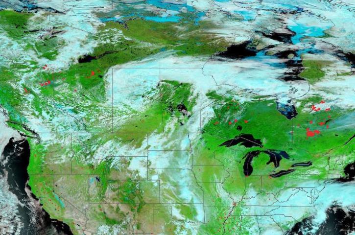
Image captured June 21, 2023, by the VIIRS instrument aboard the joint NASA/NOAA Suomi NPP satellite.
Worldview Image of the Week
June 22, 2023

Updated landing pages for the Level-1 Calibrated Radiances and Geolocation and the Level-3 Nighttime Lights products are available at NASA'S Level-1 and Atmosphere Archive and Distribution System Distributed Active Archive Center (LAADS DAAC).
News
June 15, 2023

Image captured June 13, 2023, by the VIIRS instrument aboard the joint NASA/NOAA Suomi NPP satellite.
Worldview Image of the Week
June 15, 2023

Base image acquired Jun 7, 2023, by the VIIRS instrument aboard the joint NASA/NOAA Suomi NPP satellite and overlaid with Aerosol Index values from the OMPS instrument.
Worldview Image of the Week
June 8, 2023

Data from NASA’s Land Processes DAAC help Dr. Helen Poulos understand climate-induced change in the forests of the Southwestern U.S.
Data User Story
May 25, 2023

Image captured May 11, 2023, by the VIIRS instrument aboard the joint NASA/NOAA Suomi-NPP satellite.
Worldview Image of the Week
May 11, 2023

The Visible Infrared Imaging Radiometer Suite (VIIRS)-based products provide more accurate global measurements of aerosol optical thickness.
News
May 5, 2023

The migration is part of NASA’s Earthdata Cloud Evolution, which gives users new ways to access NASA Earth science data.
News
April 14, 2023
SHOWING 8 OF 333
Frequently Asked Questions
Earthdata Forum
Our online forum provides a space for users to browse thousands of FAQs about research needs, data, and data applications. You can also submit new questions for our experts to answer.
Submit Questions to Earthdata Forumand View Expert Responses