We are in the process of migrating all NASA Earth science data sites into Earthdata from now until end of 2026. Not all NASA Earth science data and resources will appear here until then. Thank you for your patience as we make this transition.
Read about the Web Unification Project
Suomi NPP Resources
Suomi NPP Learning Resources

Esta capacitación de ARSET cubre similitudes y diferencias entre MODIS y VIIRS para monitoreo de calidad del agua.
Training
Sept. 14-21, 2021
This ARSET training provides an overview of the similarities and differences between MODIS and VIIRS for water quality monitoring.
Training
Sept. 14-21, 2021

LANCE near real-time products enable the management of ongoing events; standard data products are heavily processed and intended for scientific research.
Data Basics
July 15, 2021

This ARSET training introduces how NASA earth observations can contribute to a greater understanding of energy management applications.
Training
June 1-22, 2021

Join us to learn how to use NASA’s Worldview, an imagery mapping and visualization tool that provides access to over 900 data imagery layers, many of which are available within hours, even minutes, to explore Earth’s interconnected processes and events.
Webinar
May 26, 2021

Esta capacitación de ARSET cubre el uso de observaciones terrestres para el monitoreo operativo de incendios.
Training
May 11-27, 2021
This ARSET training provides lectures and case studies focused on the use of Earth observations for operational fire monitoring.
Training
May 11-27, 2021

Read highlights of three publications that detail how NASA Earth observation data informs forest structure mapping, disease vector tracking, and mineral identification.
Data in Action
April 26, 2021
SHOWING 8 OF 67
Suomi NPP News
View All News
Filters
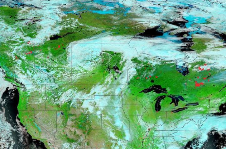
Image captured June 21, 2023, by the VIIRS instrument aboard the joint NASA/NOAA Suomi NPP satellite.
Worldview Image of the Week
June 22, 2023

Updated landing pages for the Level-1 Calibrated Radiances and Geolocation and the Level-3 Nighttime Lights products are available at NASA'S Level-1 and Atmosphere Archive and Distribution System Distributed Active Archive Center (LAADS DAAC).
News
June 15, 2023

Image captured June 13, 2023, by the VIIRS instrument aboard the joint NASA/NOAA Suomi NPP satellite.
Worldview Image of the Week
June 15, 2023

Base image acquired Jun 7, 2023, by the VIIRS instrument aboard the joint NASA/NOAA Suomi NPP satellite and overlaid with Aerosol Index values from the OMPS instrument.
Worldview Image of the Week
June 8, 2023

Data from NASA’s Land Processes DAAC help Dr. Helen Poulos understand climate-induced change in the forests of the Southwestern U.S.
Data User Story
May 25, 2023

Image captured May 11, 2023, by the VIIRS instrument aboard the joint NASA/NOAA Suomi-NPP satellite.
Worldview Image of the Week
May 11, 2023

The Visible Infrared Imaging Radiometer Suite (VIIRS)-based products provide more accurate global measurements of aerosol optical thickness.
News
May 5, 2023

The migration is part of NASA’s Earthdata Cloud Evolution, which gives users new ways to access NASA Earth science data.
News
April 14, 2023
SHOWING 8 OF 333
Frequently Asked Questions
Earthdata Forum
Our online forum provides a space for users to browse thousands of FAQs about research needs, data, and data applications. You can also submit new questions for our experts to answer.
Submit Questions to Earthdata Forumand View Expert Responses