We are in the process of migrating all NASA Earth science data sites into Earthdata from now until end of 2026. Not all NASA Earth science data and resources will appear here until then. Thank you for your patience as we make this transition.
Read about the Web Unification Project
Suomi NPP Resources
Suomi NPP Learning Resources

Esta capacitación de ARSET se centra en los datos de Black Marble y en cómo elegir el producto de iluminación nocturna adecuado.
Training
Dec. 3, 2020
This ARSET training focuses on building the skills needed to acquire and understand Black Marble data and choose the appropriate nighttime lights product.
Training
Dec. 3, 2020

This ARSET training covers the use of remote sensing in determining and explaining urban heat islands, and ways to mitigate the effects.
Training
Nov. 10-24, 2020

During this webinar we will introduce several of the NSIDC DAAC snow-focused NASA missions and data products, followed by a live demonstration teaching participants how to discover, access, and couple snow data across varying geospatial scales using Python.
Webinar
Nov. 4, 2020

This ARSET training covers how to access VIIRS data products, the differences between VIIRS and MODIS, and its air quality applications.
Training
Oct. 22, 2020

Esta formación ARSET abarca algunas de las dificultades asociadas a la teledetección de los ecosistemas costeros.
Training
Aug. 25 - Sept. 8, 2020
This ARSET training covers some of the difficulties associated with remote sensing of coastal ecosystems.
Training
Aug. 25 - Sept. 8, 2020

This ArcGIS Python Toolbox simplifies access to quality data by decoding complex quality information into usable thematic raster files.
Tutorial
Aug. 18, 2020
SHOWING 8 OF 67
Suomi NPP News
View All News
Filters

Image captured on 17 October 2021, by the VIIRS instrument, aboard the joint NASA/NOAA Suomi NPP satellite.
Worldview Image of the Week
Dec. 21, 2021

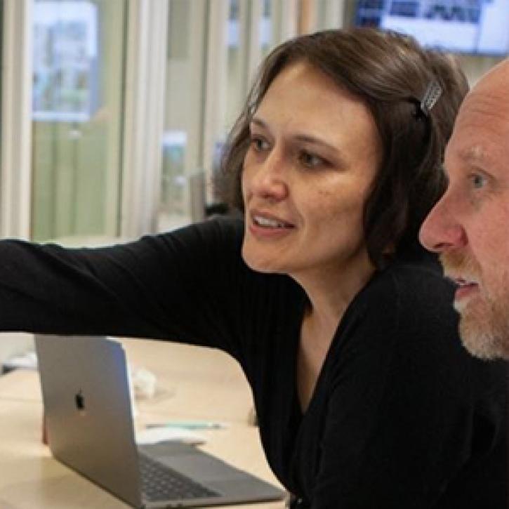
NASA’s Land, Atmosphere Near real-time Capability for EOS (LANCE) helps scientists like Dr. Glasscoe assess risks and responses to natural hazards on a global scale.
Data User Story
Dec. 8, 2021

Base image captured on Oct. 25, 2021, by the VIIRS instrument aboard the joint NASA/NOAA Suomi NPP satellite and overlain with IMERG Precipitation Rate.
Worldview Image of the Week
Dec. 7, 2021
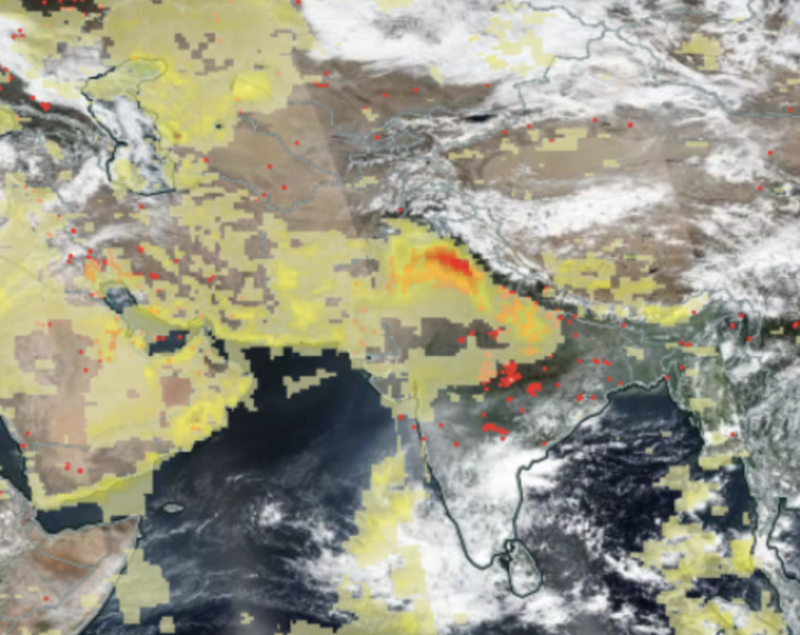
Image captured Nov 1, 2021, by the VIIRS instrument aboard the joint NASA/NOAA Suomi NPP satellite.
Worldview Image of the Week
Dec. 7, 2021
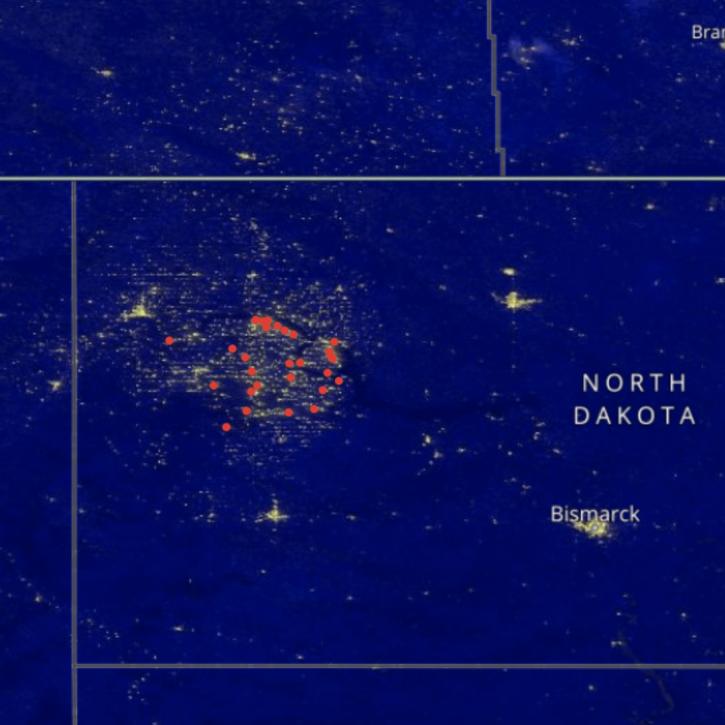
Image captured on Sep 27, 2021, by the VIIRS instrument aboard the joint NASA/NOAA Suomi NPP satellite.
Worldview Image of the Week
Oct. 29, 2021
Data from NASA’s GES DISC helps scientists like Dr. Nadia Smith build and improve retrieval systems that provide important information to climate scientists and meteorologists around the globe.
Data User Story
Oct. 25, 2021

Satellites provide crucial information for researchers to monitor and help improve agricultural productivity in India.
Feature Article
Oct. 22, 2021

Image captured on Aug 22, 2021, by the VIIRS instrument, aboard the joint NASA/NOAA NOAA 20 satellite.
Worldview Image of the Week
Oct. 22, 2021
SHOWING 8 OF 333
Frequently Asked Questions
Earthdata Forum
Our online forum provides a space for users to browse thousands of FAQs about research needs, data, and data applications. You can also submit new questions for our experts to answer.
Submit Questions to Earthdata Forumand View Expert Responses