We are in the process of migrating all NASA Earth science data sites into Earthdata from now until end of 2026. Not all NASA Earth science data and resources will appear here until then. Thank you for your patience as we make this transition.
Read about the Web Unification Project
Suomi NPP Resources
Documents
| Name Sort descending | Description | File Type | Date Published | |
|---|---|---|---|---|
| Discover and Access NASA's Near Real-Time Global Flood Products | This presentation provides an introduction to NASA's near real-time global flood products available through NASA's Land, Atmosphere Near real-time Capability for Earth observation. Information about how to discover, access, and use these NRT products is also provided. | PDF (16.77 mb) | Sept. 17, 2025 | |
| NPOESS Preparatory Project (NPP) & National Polar-orbiting Operational Environmental Satellite System (NPOESS) VIIRS (Visible/Infrared Imager/Radiometer Suite) | NPOESS Preparatory Project (NPP) & National Polar-orbiting Operational Environmental Satellite System (NPOESS) VIIRS (Visible/Infrared Imager/Radiometer Suite) | PDF (1.38 mb) | April 19, 2004 | |
| SNPP VIIR | SNPP VIIR | PDF (2.46 mb) | April 19, 2004 | |
| Use of the Moon as a calibration reference for NPP VIIRS (PDF) | Use of the Moon as a calibration reference for NPP VIIRS | PDF (541.05 kb) | Aug. 10, 2005 | |
| Use of the Moon as a calibration reference for NPP VIIRS (PPT) | Use of the Moon as a calibration reference for NPP VIIRS | PPT (1.52 mb) | Aug. 2, 2005 |
SHOWING 5 OF 6
Suomi NPP Learning Resources

This ARSET training provides an overview of the remote sensing process, data products, and their use in air quality applications.
Training
July 6 - Aug. 3, 2016

This ARSET training introduces remote sensing for coastal and ocean applications.
Training
July 6-27, 2016

This ARSET training focuses on regional and global observation resources for conservation management.
Training
May 5 - June 2, 2015
SHOWING 3 OF 67
Suomi NPP News
View All News
Filters

Image captured on 18 February 2018, by the VIIRS instrument, aboard the joint NASA/NOAA Suomi NPP satellite.
Worldview Image of the Week
Sept. 11, 2020
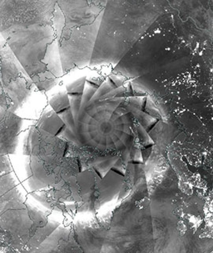
Image captured on 6 December 2018, by the VIIRS instrument, aboard the joint NASA/NOAA Suomi NPP satellite.
Worldview Image of the Week
Sept. 11, 2020
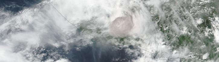
Image captured on 3 June 2018, by the VIIRS instrument, aboard the joint NASA/NOAA Suomi NPP satellite.
Worldview Image of the Week
Sept. 11, 2020

Image captured on 12 June 2017, by the VIIRS instrument, aboard the joint NASA/NOAA Suomi NPP satellite.
Worldview Image of the Week
Sept. 11, 2020

Image captured on 21 February 2016 by the VIIRS instrument, aboard the joint NASA/NOAA Suomi NPP satellite.
Worldview Image of the Week
Sept. 11, 2020

Image captured on 18 December 2016 by the VIIRS instrument, aboard the joint NASA/NOAA Suomi NPP satellite.
Worldview Image of the Week
Sept. 11, 2020

Image captured on 21 January 2018 by the VIIRS instrument aboard the joint NOAA/NASA Suomi NPP satellite.
Worldview Image of the Week
Sept. 11, 2020

Image captured on 3 October 2016 by the VIIRS instrument, aboard the Suomi NPP satellite.
Worldview Image of the Week
Sept. 11, 2020
SHOWING 8 OF 333
Frequently Asked Questions
Earthdata Forum
Our online forum provides a space for users to browse thousands of FAQs about research needs, data, and data applications. You can also submit new questions for our experts to answer.
Submit Questions to Earthdata Forumand View Expert Responses