Delivery of Suomi National Polar-orbiting Partnership (Suomi NPP) satellite data products will cease on November 1, 2026. Data users should transition now to alternative products from NOAA-21 and NOAA-20.
Suomi NPP data announcement
Terra Resources
Terra Documents
| Name Sort descending | Description | File Type | Date Published | |
|---|---|---|---|---|
| MISR FIle Naming and Versioning Conventions | Information and best practices for naming MISR prodcuts. | PDF (508.07 kb) | July 25, 2024 | |
| MISR GoMACCS Images | MISR GoMACCS Images | PDF (4.5 mb) | Aug. 28, 2024 | |
| MISR INTEX-B Images | Images of the MISR INTEX-B Field campaign, offered in JPEG/GEOTIFF formats for MISR Instrument pass by for March 2006. | PDF (1.24 mb) | Aug. 20, 2024 | |
| MISR Level 1 Products Quality Statement | The MISR_L1_Products_QS_08292007.pdf is a Quality Statement dated August 29, 2007 that documents the known issues, radiometric calibration accuracy (within 4% absolute uncertainty for bright uniform targets), georectification and coregistration performance (mean geolocation error below 20 meters), and instrument anomalies for the MISR Level 1 data products, including the L1B2 Terrain and Ellipsoid Radiance, Geometric Parameters, L1A, and L1B1 products. | PDF (245.67 kb) | Aug. 29, 2007 | |
| MISR Level 1A CCD, 1B1, 1B2, and Browse Products | Product updates for MISR Level 1A CCD, 1B1, 1B2, and Browse Products. | PDF (606.92 kb) | Sept. 18, 2024 | |
| MISR Level 2 Aerosol/Surface Products Quality Statement | The L2_AS_Products.pdf is a Quality Statement dated July 1, 2014, that documents the validation status, known limitations, processing differences (FIRSTLOOK vs. FINAL), cloud screening procedures, and retrieval performance for the MISR Level 2 Aerosol (including aerosol optical depth, particle properties, and Angstrom exponent) and Land Surface (including HDRF, BHR, NDVI, LAI, and FPAR) data products. | PDF (3.75 mb) | July 1, 2014 | |
| MISR Level 2 Cloud Classifiers Quality Statement | Quality statement regarding MISR level 2TC Classifiers products and further. | PDF (737.06 kb) | Oct. 19, 2017 | |
| MISR Level 2 Cloud Motion Vector Quality Statement | This quality statement applies to the Level 2 Near Real Time (NRT) Cloud Motion Vector (CMV) product (version F01_0001) and to the Level 3 Cloud Motion Vector product (version F02_0002). | PDF (334.4 kb) | Sept. 30, 2014 | |
| MISR Level 3 Cloud Fraction by Altitude Product Quality Statement | Quality statements for MISR Level 3 Cloud Fraction by Altitude product (Versions F01_0002 and F01_0003) and beyond. | PDF (423.02 kb) | Jan. 4, 2018 | |
| MISR Level 3 Component Global Aerosol Product DPS | Product specifications for MISR level 3 Component Global Aerosol Product. | PDF (8.85 mb) | Jan. 25, 2018 | |
| MISR Level 3 Component Products Quality Statement | his statement applies to the MISR Level 3 Georectified Radiance product, MISR Level 3 Aerosol product, the MISR Level 3 Land Surface product, the MISR Level 3 Albedo product, and the MISR Level 3 Cloud product with a production date of December 1, 2005, or later until such a time as further improvements to MISR software or ancillary inputs are made. |
PDF (205.97 kb) | Dec. 1, 2005 | |
| MISR Level 3 Joint Aerosol Product Quality Statement | This statement applies to the MISR Level 3 Joint Aerosol (JOINT_AS) product (versions F01_0001 and later). | PDF (67.78 kb) | Oct. 15, 2012 | |
| MISR Level 3 Land Surface and Aerosol Versioning | Product information about MISR Level 3 Land Surface and Aerosol Versioning. | PDF (581.61 kb) | July 25, 2024 | |
| MISR Quality Statements Full Range | Covers full range of MISR products, describes broader organizational structure across four product groups. | PDF (55.6 kb) | Sept. 30, 2014 | |
| MISR Quality Statements Newer | Information on MISR Level 2 and Level 3 products released starting in 2012 | PDF (60.05 kb) | Sept. 30, 2014 | |
| MISR VBBE Images | Collection of MISR images captured for VBBE field campaign. The Virtual Biomass Burning Experiment (VBBE) was an aerosol experiment which took place in south east Asia during August and September 2007 | PDF (1.62 mb) | Aug. 28, 2024 | |
| MISR_RADCAL | Calibration process of MISR Radiometric Calibration as of Jan. 10, 2018 | PDF (2.41 mb) | Jan. 10, 2018 | |
| MODIS and Ocean Color Discipline Processing (PDF) | MODIS and Ocean Color Discipline Processing | PDF (4.55 mb) | Aug. 16, 2005 | |
| MODIS and Ocean Color Discipline Processing (PPT) | MODIS and Ocean Color Discipline Processing | PPT (1.84 mb) | Dec. 21, 2000 | |
| MODIS Land Bands for Ocean Remote Sensing: Application to Chesapeake Bay | MODIS Land Bands for Ocean Remote Sensing: Application to Chesapeake Bay | PPT (3.47 mb) | Dec. 1, 2005 | |
| MODIS Land Bands for Ocean Remote Sensing: Application to Chesapeake Bay (PDF) | MODIS Land Bands for Ocean Remote Sensing: Application to Chesapeake Bay | PDF (2.73 mb) | Nov. 2, 2006 | |
| MODIS Ocean Data Processing (PDF) | MODIS Ocean Data Processing | PDF (4.38 mb) | May 30, 2007 | |
| MODIS Ocean Data Processing (PPT) | MODIS Ocean Data Processing | PPT (15.82 mb) | Dec. 1, 2005 | |
| MODIS SST Processing and Support for GHRSST at OBPG | MODIS SST Processing and Support for GHRSST at OBPG | PDF (1.23 mb) | Nov. 28, 2005 | |
| MODIS SST Processing and Support for GHRSST at OBPG (PPT) | MODIS SST Processing and Support for GHRSST at OBPG (PPT) | PPT (1.4 mb) | Nov. 16, 2005 |
Terra Learning Resources
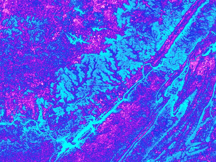
See how the Tennessee Valley Energy DEVELOP team used Earth observations to predict river water temperatures for managing and protecting aquatic ecosystems.
Data in Action
July 1, 2020
This ARSET training focuses on the use of remote sensing to understand global phenology.
Training
June 30 - July 14, 2020
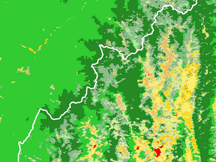
Researchers used MODIS land cover products and ASTER models to identify suitable areas where an endangered species of monkey may reside.
Data in Action
June 29, 2020

Learn how a NASA DEVELOP team helped create models to determine an ideal location for a jaguar corridor using NASA Earth observation data.
Data in Action
May 21, 2020
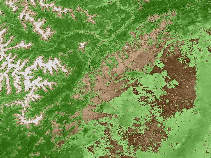
Explore how remote sensing is used to study landslide vegetation recovery in China, identify zero curtain effects for permafrost detection, and map geothermal minerals in East Africa.
Data in Action
April 28, 2020
This ARSET training addresses how to use remote sensing data for agriculture monitoring, specifically drought and crop monitoring.
Training
April 14 - May 5, 2020
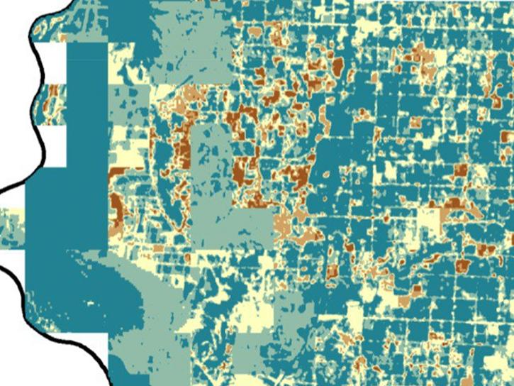
In Spring 2019 DEVELOP researchers used VIIRS and other instrument data to create models that provide fine details on drought conditions in Iowa.
Data in Action
April 13, 2020
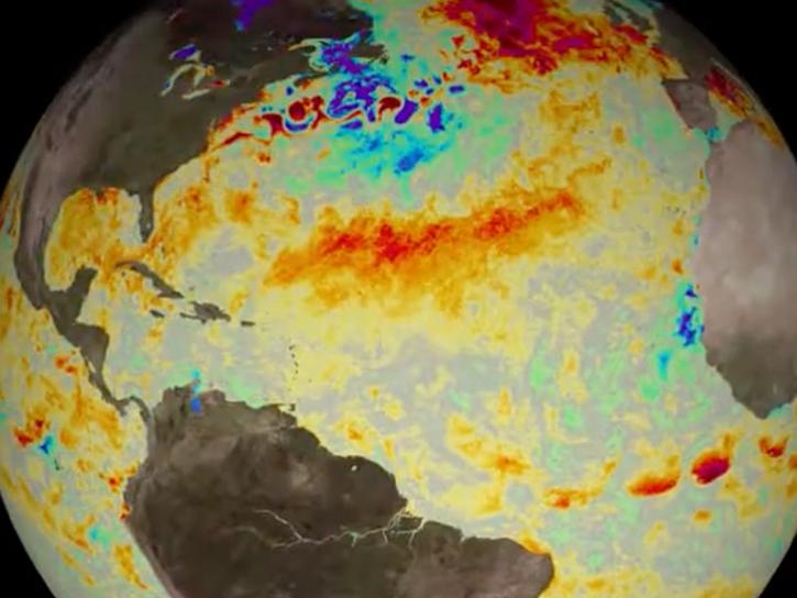
Evaluating the evolution of ocean response to the 2019 Atlantic tropical cyclones.
Data in Action
April 2, 2020
SHOWING 8 OF 239
Terra News
View All News
Filters
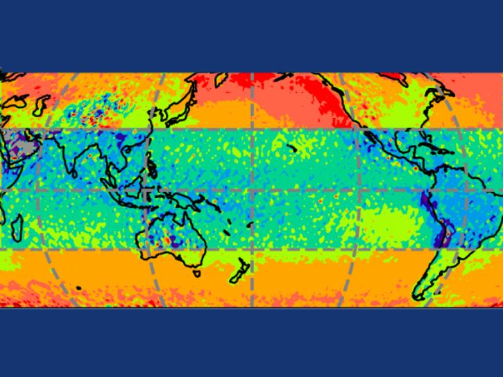
In computer models that simulate Earth’s atmosphere, scientists evaluated their upgraded cloud simulation capabilities against satellite observations.
Feature Article
Jan. 27, 2026

Image captured on January 8, 2026, by the MODIS instrument aboard the Terra platform.
Worldview Image of the Week
Jan. 8, 2026

Image captured on December 18, 2025, by the MODIS instrument aboard the Terra platform.
Worldview Image of the Week
Dec. 18, 2025

A new metadata project makes NASA's Earth data easier to find and access through federal open science portals.
Feature Article
Sept. 17, 2025

A summary of datasets, products, and resources released by NASA’s Distributed Active Archive Centers (DAACs) in August 2025.
News
Sept. 4, 2025

Join us on Wed., September 17, 2025, at 2:00 p.m. EDT (-04:00 UTC) to learn how to discover, access, and use NASA's near real-time global flood products .
Webinar
Aug. 29, 2025
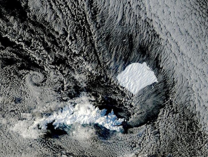
Image captured on August 17 and 19, 2025, by the MODIS instrument aboard the Aqua platform.
Worldview Image of the Week
Aug. 21, 2025

A summary of datasets, products, and resources released by NASA’s Distributed Active Archive Centers (DAACs) in July 2025.
News
Aug. 13, 2025
SHOWING 8 OF 454
Frequently Asked Questions
Earthdata Forum
Our online forum provides a space for users to browse thousands of FAQs about research needs, data, and data applications. You can also submit new questions for our experts to answer.
Submit Questions to Earthdata Forumand View Expert Responses