We are in the process of migrating all NASA Earth science data sites into Earthdata from now until end of 2026. Not all NASA Earth science data and resources will appear here until then. Thank you for your patience as we make this transition.
Read about the Web Unification Project
Terra Resources
Terra Learning Resources
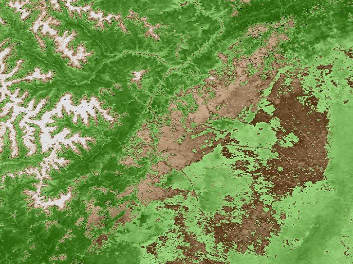
Explore how remote sensing is used to study landslide vegetation recovery in China, identify zero curtain effects for permafrost detection, and map geothermal minerals in East Africa.
Data in Action
April 28, 2020
This ARSET training addresses how to use remote sensing data for agriculture monitoring, specifically drought and crop monitoring.
Training
April 14 - May 5, 2020
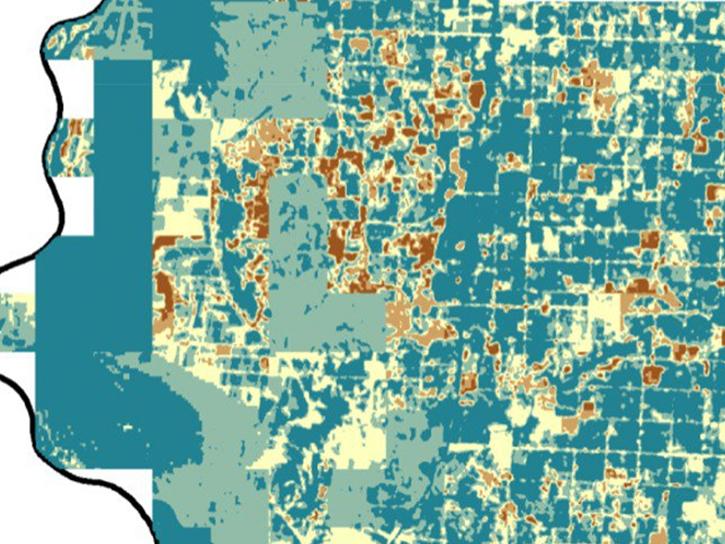
In Spring 2019 DEVELOP researchers used VIIRS and other instrument data to create models that provide fine details on drought conditions in Iowa.
Data in Action
April 13, 2020
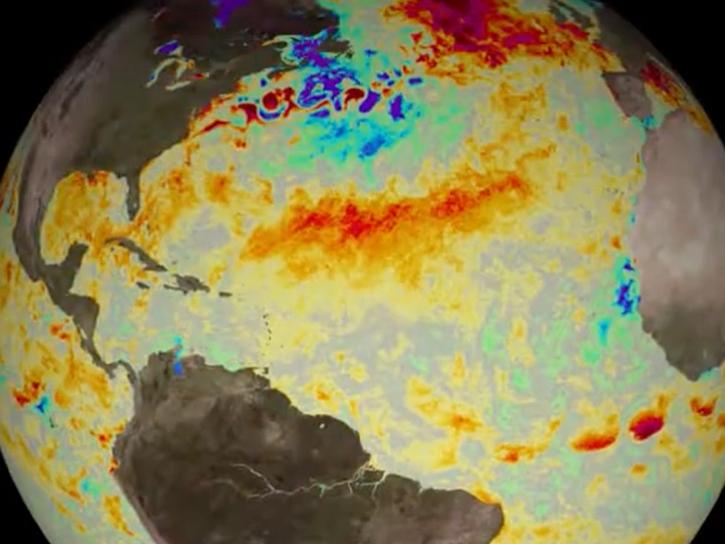
Evaluating the evolution of ocean response to the 2019 Atlantic tropical cyclones.
Data in Action
April 2, 2020
This ARSET training focuses on how to apply the UN Biodiversity Lab and NASA satellite data to conservation and SDG goals.
Training
March 24 - April 7, 2020
Cette formation ARSET est axée sur l'utilisation des données du Laboratoire de biodiversité des Nations Unies et des données satellitaires de la NASA.
Training
March 24 - April 7, 2020
Esta capacitación de ARSET se centra en cómo aplicar los datos del UN Biodiversity Lab y satélites de la NASA a las metas de los ODS.
Training
March 24 - April 7, 2020
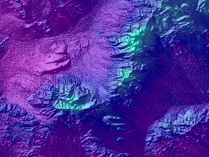
See how a DEVELOP project team employed Earth observation data to examine and predict the location of bighorn sheep habitat in the Mojave Desert.
Data in Action
Feb. 24, 2020
SHOWING 8 OF 235
Terra News
View All News
Filters
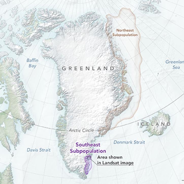
NASA Earth observation data contributed to the discovery of a previously unknown subpopulation of polar bears in Southeast Greenland.
Feature Article
June 23, 2022

Image captured on Jun 13, 2022, by the MODIS instrument aboard the Terra satellite.
Worldview Image of the Week
June 14, 2022

Data from NASA’s LP DAAC help Dr. David Thoma determine how climate change will impact natural resources on National Park System lands.
Data User Story
May 23, 2022

Update Your Bookmarks: We are no longer processing the "Chlorophyll a Terra/MODIS" (MODIS_Terra_Chlorophyll_A) and "Chlorophyll a Aqua/MODIS" (MODIS_Aqua_Chlorophyll_A). Comparable layers are available for Terra/MODIS, Aqua/MODIS and now, Suomi NPP/VIIRS.
Blog
May 19, 2022
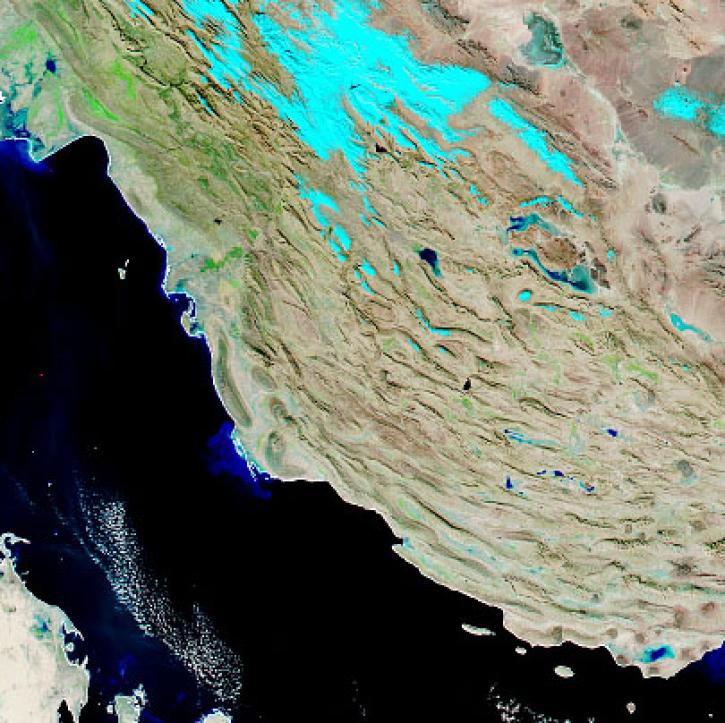
With the eventual retirement of the Terra and Aqua platforms, the Visible Infrared Imaging Radiometer Suite (VIIRS) instruments will take the lead in daily Earth observations.
Feature Article
May 18, 2022
NASA’s Terra mission soon will shift to Phase F: decommissioning. Here's what this means for the future of this groundbreaking satellite.
Feature Article
May 3, 2022

Data from NASA’s NSIDC DAAC helps scientists like Dr. Kristin Poinar develop the next generation of models for forecasting sea-level rise from melting glaciers and ice sheets.
Data User Story
May 3, 2022

Data from NASA’s Atmospheric Science Data Center helps system engineers like Abigail Nastan develop engaging new ways of partnering with data users to maximize the benefits of NASA Earth science missions.
Data User Story
May 2, 2022
SHOWING 8 OF 450
Frequently Asked Questions
Earthdata Forum
Our online forum provides a space for users to browse thousands of FAQs about research needs, data, and data applications. You can also submit new questions for our experts to answer.
Submit Questions to Earthdata Forumand View Expert Responses