We are in the process of migrating all NASA Earth science data sites into Earthdata from now until end of 2026. Not all NASA Earth science data and resources will appear here until then. Thank you for your patience as we make this transition.
Read about the Web Unification Project
Terra Resources
Terra Learning Resources

Learn how to access and use Moderate Resolution Imaging Spectroradiometer (MODIS) Vegetation Indices data.
Tutorial
April 10, 2017

Learn how to access and use Moderate Resolution Imaging Spectroradiometer (MODIS) Vegetation Indices data.
Tutorial
April 10, 2017

Learn how to interpret Moderate Resolution Imaging Spectroradiometer (MODIS) Vegetation Indices quality data by understanding layers, decoding bits, and using tools for quality assessment.
Tutorial
April 10, 2017

Learn how to access improved Moderate Resolution Imaging Spectroradiometer (MODIS) Land Surface Temperature data via Earthdata Search, covering product details and download steps.
Tutorial
April 10, 2017

Learn how to use Moderate Resolution Imaging Spectroradiometer (MODIS) Version 6 Land Surface Temperature data, and access details about its scale factors, visualization, and related resources.
Tutorial
April 10, 2017

Learn how to interpret and utilize quality information within Moderate Resolution Imaging Spectroradiometer (MODIS) Thermal Anomalies and Fire data.
Tutorial
April 5, 2017

Learn how to use Moderate Resolution Imaging Spectroradiometer (MODIS) Thermal Anomalies and Fire data, interpret fire masks, and visualize data.
Tutorial
April 5, 2017

Learn how to access Moderate Resolution Imaging Spectroradiometer (MODIS) Thermal Anomalies and Fire data via Earthdata Search, covering product details and download steps.
Tutorial
April 5, 2017
SHOWING 8 OF 235
Terra News
View All News
Filters
FLUXNET is a global network of research sites to measure regional carbon exchange.
Feature Article
July 21, 2020
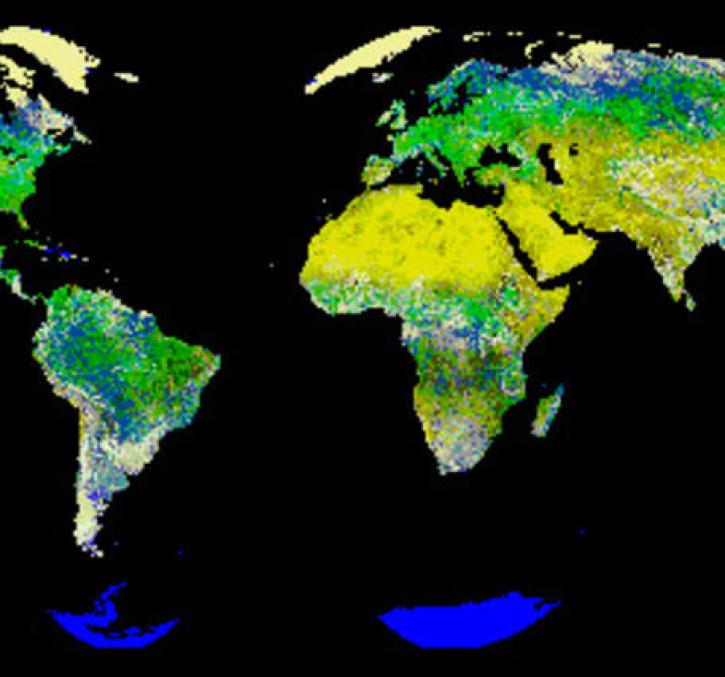
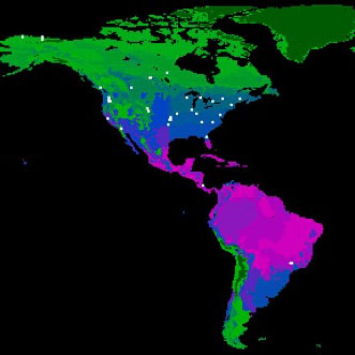
New logic for classifying vegetation using the Global Land AVHRR Dataset (GLAD).
Feature Article
July 21, 2020
The Amazon rainforest is losing ground as human activity fragments the forests.
Feature Article
July 21, 2020

Extreme weather events thousands of miles apart may be linked.
Feature Article
July 21, 2020

Image captured on 23 November 2015 by the MODIS instrument, aboard the Terra satellite.
Worldview Image of the Week
June 26, 2020

Worldview Release 3.7.0 includes Layer Picker, Timeline Availability Panel, Distraction free mode, Vector capabilities, and more!
Blog
June 23, 2020

Image captured on 31 May 2020, by the MODIS instrument, aboard the Terra satellite.
Worldview Image of the Week
June 8, 2020
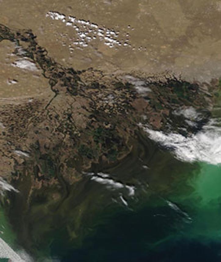
Image captured on 4 May 2020, by the MODIS instrument, aboard the Terra satellite.
Worldview Image of the Week
May 11, 2020
SHOWING 8 OF 450
Frequently Asked Questions
Earthdata Forum
Our online forum provides a space for users to browse thousands of FAQs about research needs, data, and data applications. You can also submit new questions for our experts to answer.
Submit Questions to Earthdata Forumand View Expert Responses