We are in the process of migrating all NASA Earth science data sites into Earthdata from now until end of 2026. Not all NASA Earth science data and resources will appear here until then. Thank you for your patience as we make this transition.
Read about the Web Unification Project
Terra Resources
Terra Learning Resources

Join us to learn how to discover, subset, access and visualize both MODIS and VIIRS data products using a suite of user-friendly tools developed by NASA's ORNL DAAC.
Webinar
April 19, 2022

Through NASA FIRMS, users can interactively view fire data via the Fire Map, search for both VIIRS and MODIS active fires/hotspots and sign-up to receive automated Fire Email Alerts for their geographic areas of interest. Join us to learn more!
Webinar
April 19, 2022

Want to learn how to use R and Python to work with remote sensing data? Join us as we demonstrate how to perform basic data preparation, processing, computation, and visualization techniques using ASTER and VIIRS Surface Reflectance data.
Webinar
April 18, 2022

Learn how SeaBASS can be leveraged for data search, discovery, and access, and will demonstrate how SeaBASS supports NASA’s ocean color satellite products and the broader scientific community.
Webinar
April 18, 2022
NASA GLOBE Clouds is an international citizen science program that collects cloud observations from participants around the world and compares them with satellite data. Learn more about the benefits and limitations of this citizen science data for scientific inquiry.
Webinar
April 15, 2022

Cette formation ARSET explique comment appliquer les données de télédétection du UN Biodiversity Lab pour la conservation et le développement durable.
Training
April 14 - May 4, 2022
Esta capacitación de ARSET cubre cómo usar datos del UN Biodiversity Lab para conservación y desarrollo sostenible.
Training
April 14 - May 4, 2022
This ARSET training shares how to apply UN Biodiversity Lab remote sensing/geospatial data for conservation and sustainable development priorities.
Training
April 14 - May 4, 2022
SHOWING 8 OF 235
Terra News
View All News
Filters
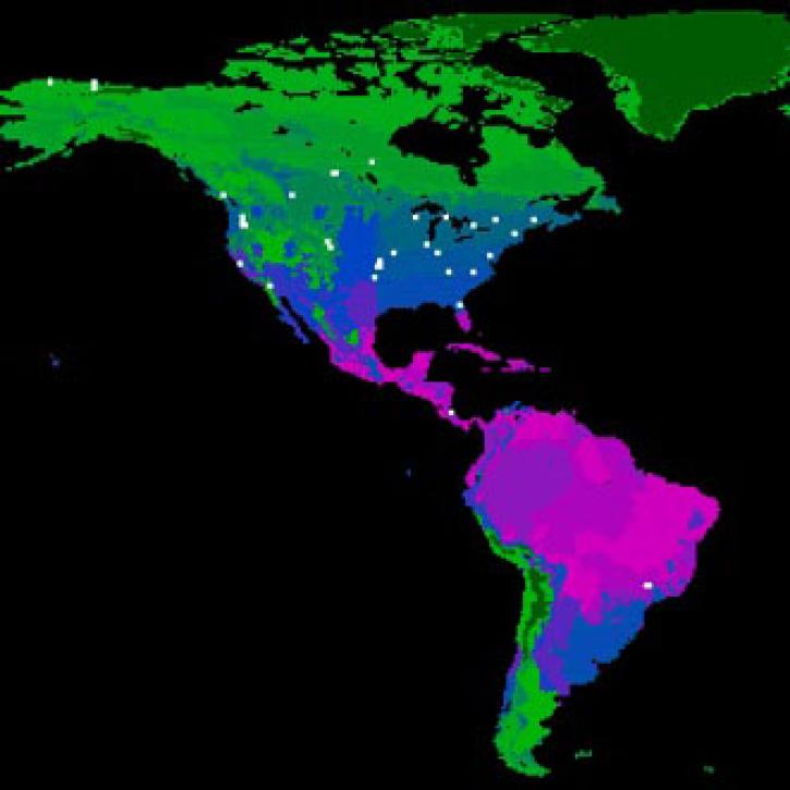
FLUXNET is a global network of research sites to measure regional carbon exchange.
Feature Article
July 21, 2020
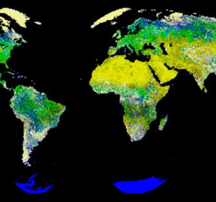
New logic for classifying vegetation using the Global Land AVHRR Dataset (GLAD).
Feature Article
July 21, 2020
The Amazon rainforest is losing ground as human activity fragments the forests.
Feature Article
July 21, 2020

Extreme weather events thousands of miles apart may be linked.
Feature Article
July 21, 2020

Image captured on 23 November 2015 by the MODIS instrument, aboard the Terra satellite.
Worldview Image of the Week
June 26, 2020

Worldview Release 3.7.0 includes Layer Picker, Timeline Availability Panel, Distraction free mode, Vector capabilities, and more!
Blog
June 23, 2020

Image captured on 31 May 2020, by the MODIS instrument, aboard the Terra satellite.
Worldview Image of the Week
June 8, 2020
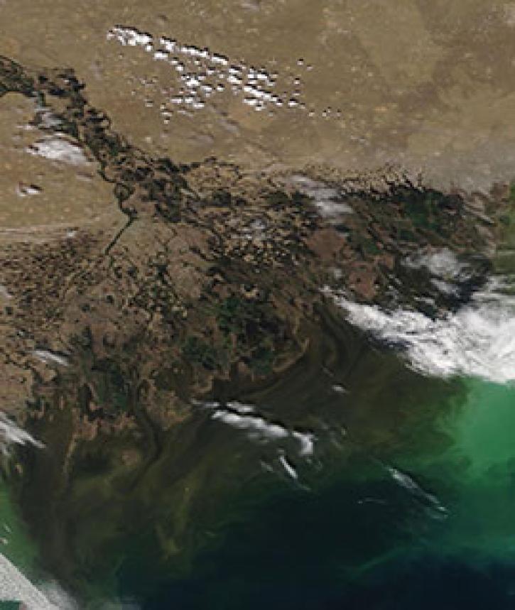
Image captured on 4 May 2020, by the MODIS instrument, aboard the Terra satellite.
Worldview Image of the Week
May 11, 2020
SHOWING 8 OF 450
Frequently Asked Questions
Earthdata Forum
Our online forum provides a space for users to browse thousands of FAQs about research needs, data, and data applications. You can also submit new questions for our experts to answer.
Submit Questions to Earthdata Forumand View Expert Responses