We are in the process of migrating all NASA Earth science data sites into Earthdata from now until end of 2026. Not all NASA Earth science data and resources will appear here until then. Thank you for your patience as we make this transition.
Read about the Web Unification Project
Terra Resources
Terra Learning Resources
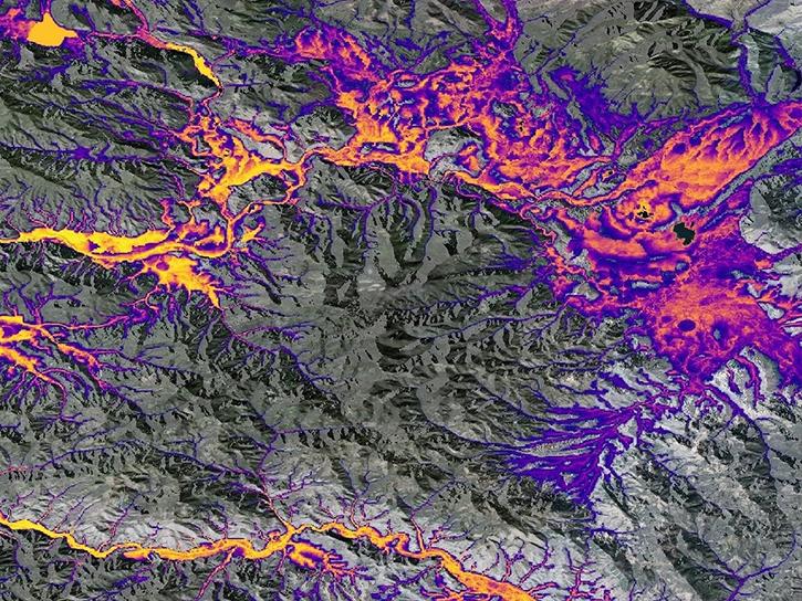
Learn about the NASA DEVELOP internship projects that used data distributed by the Land Processes Distributed Active Archive Center (LP DAAC) in spring 2021.
StoryMap
Dec. 3, 2021
This ARSET training provides participants with the skills to combine in situ measurements and optical remote sensing data to assess water quality.
Training
Nov. 30 - Dec. 7, 2021
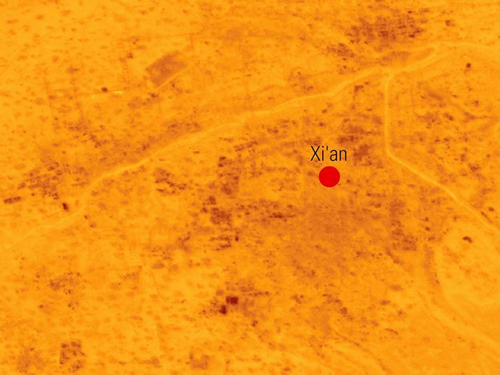
Explore how scientists use NASA Earth observation data to monitor Arctic lake temperatures, map urban heat variations, and track endangered Shoebill movements across three diverse ecosystems.
Data in Action
Nov. 8, 2021
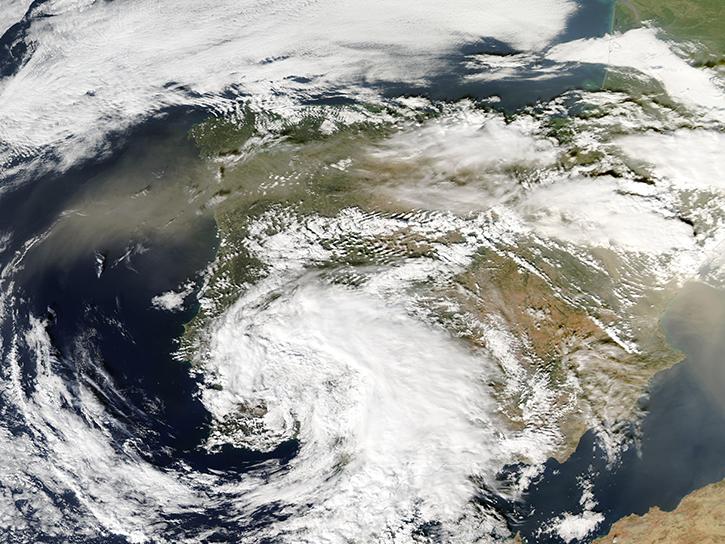
Join us for an overview of NASA's LAADS DAAC, its Level-1 and atmospheric data products, and to explore different options to search, discover, and acquire the data.
Webinar
Oct. 25, 2021
This ARSET training provides an overview of NASA resources for monitoring climate change and its impacts.
Training
Sept. 29 - Oct. 6, 2021
Esta capacitación de ARSET cubre similitudes y diferencias entre MODIS y VIIRS para monitoreo de calidad del agua.
Training
Sept. 14-21, 2021
This ARSET training provides an overview of the similarities and differences between MODIS and VIIRS for water quality monitoring.
Training
Sept. 14-21, 2021
This ARSET training provides an overview of species distribution models and how to use remote sensing data for landscape characterization.
Training
Aug. 12-19, 2021
SHOWING 8 OF 235
Terra News
View All News
Filters
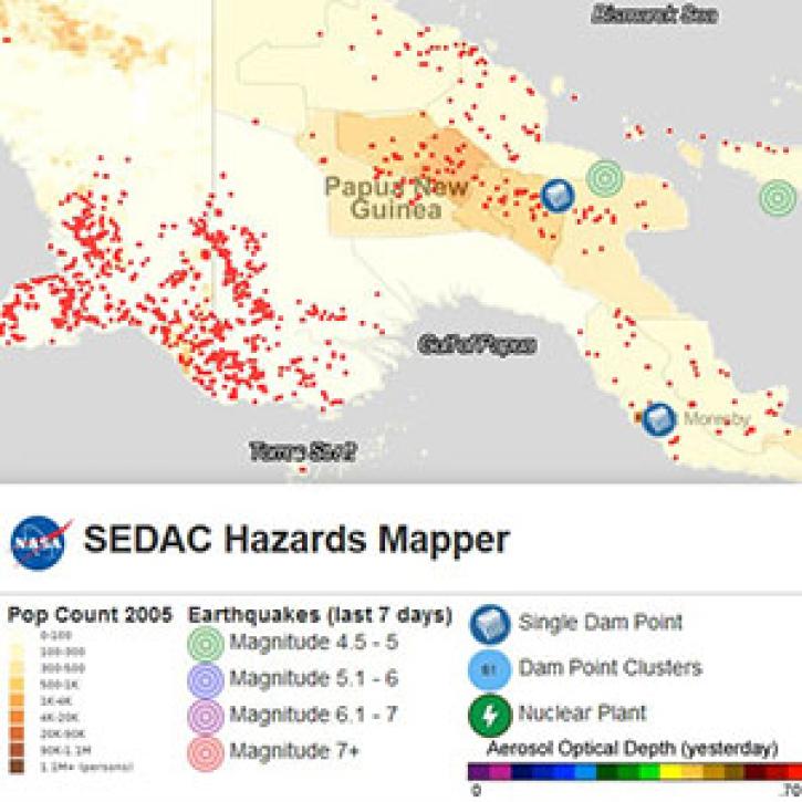
Determining risk from a wide range of natural hazards is only a mouse click away thanks to SEDAC's Hazards Mapper application.
Feature Article
Nov. 4, 2020

The Naval Research Laboratory and the University of North Dakota developed a level 3 gridded product specifically designed for quantitative applications including data assimilation and model validation. It is available through LANCE-MODIS.
News
Nov. 4, 2020

The MODIS Team at ORNL DAAC was awarded the national Doug D. Nebert Champion of the World award for their work developing the MODIS tool suite.
News
Nov. 4, 2020
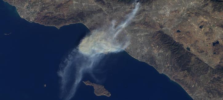
The Multi-angle Imaging SpectroRadiometer (MISR) instrument aboard the Terra satellite passed over the Colby Fire at 10:45 a.m. on Jan. 16, 2014, about five hours after the fire was first reported. The instrument was able to acquire images of the fire at different angles, allowing scientists to create a 3-D view of the Colby fire and images of the height of the smoke/particulate dispersal.
Feature Article
Nov. 4, 2020
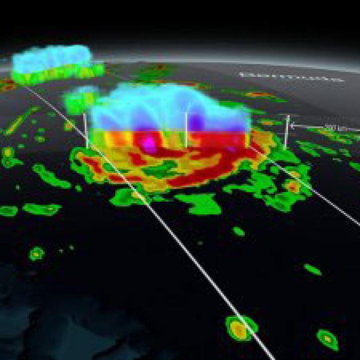
NASA’s global precipitation data and data processing systems have come a long way from the launch of TRMM in 1997 to the ongoing GPM mission.
Feature Article
Nov. 4, 2020
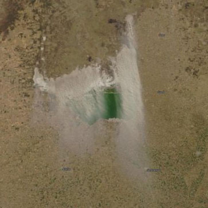
Interactively explore your world your way with nearly 20 years of MODIS global imagery and the EOSDIS Worldview data visualization application.
Feature Article
Nov. 4, 2020
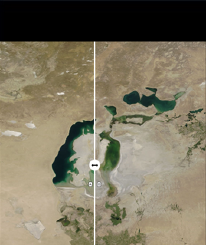
A new comparison feature in the most recently released version of NASA’s Worldview data visualization application makes it easy to compare two images.
Feature Article
Nov. 4, 2020
Since 1999, NASA’s Terra Earth observing satellite has completed more than 100,000 orbits. The instrument data from this workhorse satellite has resulted in one of the longest continuous data records of our planet ever recorded from space.
Feature Article
Nov. 4, 2020
SHOWING 8 OF 450
Frequently Asked Questions
Earthdata Forum
Our online forum provides a space for users to browse thousands of FAQs about research needs, data, and data applications. You can also submit new questions for our experts to answer.
Submit Questions to Earthdata Forumand View Expert Responses