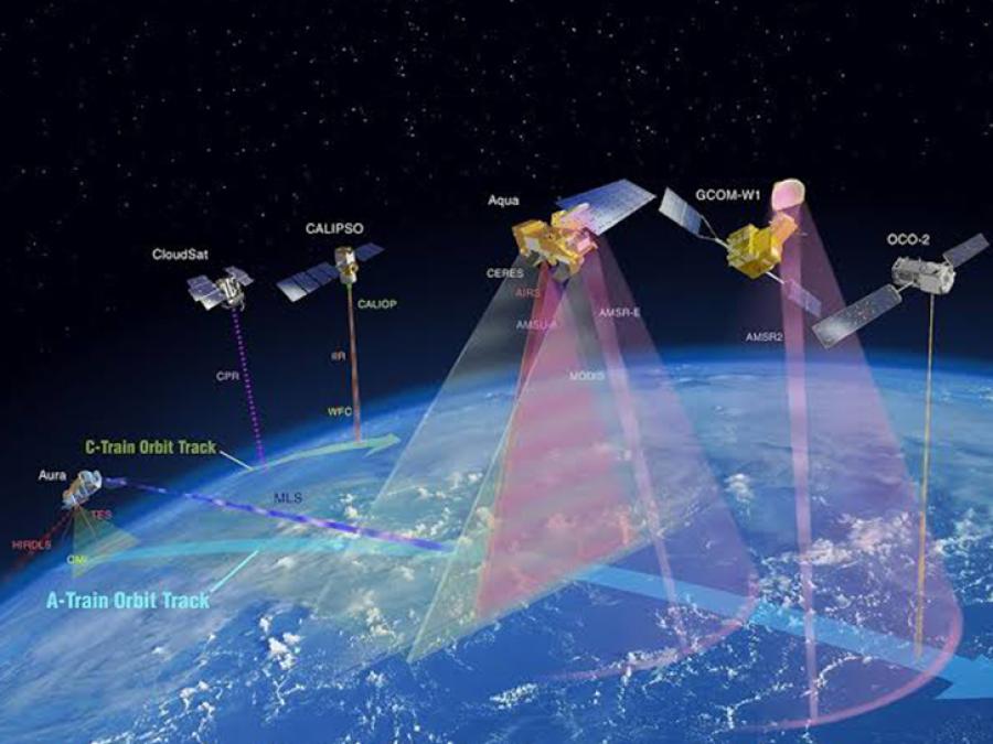
visualization of satellites known as the "A-Train" orbiting Earth
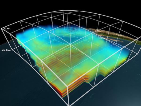
Aqua-AIRS water vapor data (tight view, lower values faded out)
stereoscopic visualization content (Left and Right Eye separate) of the composite animation including the foreground, star background and date overlay.

ATDD

A-Train Data Depot
State: Past

The A-Train Data Depot (ATDD) was developed to geometrically and temporally collocate data from A-Train formation partner sensors with the CloudSat observations that served as a reference track. These sensors included the Moderate Resolution Imaging Spectroradiometer (MODIS) and Advanced Microwave Scanning Radiometer for EOS (AMSR-E) on Aqua; the Ozone Monitoring Instrument (OMI) on Aura; and the Polarization and Directionality of Earth's Reflectances (POLDER) on Parasol. These subset data are freely available for download to registered users from the Data Catalog.

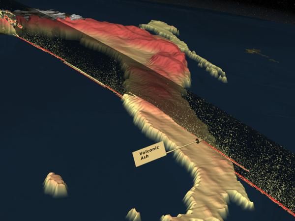
Expedited geometrical collocation and subsetting of the voluminous MODIS dataset into two types of swaths (+/- 5 and +/- 100 km wide) along the CloudSat track was the principal strength of ATDD. It is strictly collocated with the Cloud Profiling Radar on the CloudSat satellite, and hence the Cloud-Aerosol Lidar with Orthogonal Polarization (CALIOP) on the Cloud-Aerosol LIDAR and Infrared Pathfinder Satellite Observation (CALIPSO) satellite. Thus reduced volume, and the resulting geometrical collocation, represent substantial convenience to researchers who need to know the atmospheric state in the close proximity of CloudSat  and CALIPSO soundings.

The A-Train satellite constellation has been managed by NASA and international partners.