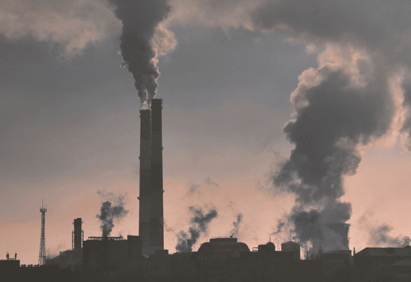
The KORUS-AQ field study was conducted in South Korea during May and June 2016. The study was jointly sponsored by NASA and Korea’s National Institute of Environmental Research (NIER). The primary objectives were to investigate the factors controlling air quality in Korea (e.g., local emissions, chemical processes, and transboundary transport) and to assess future air quality observing strategies that would incorporate geostationary satellite observations.
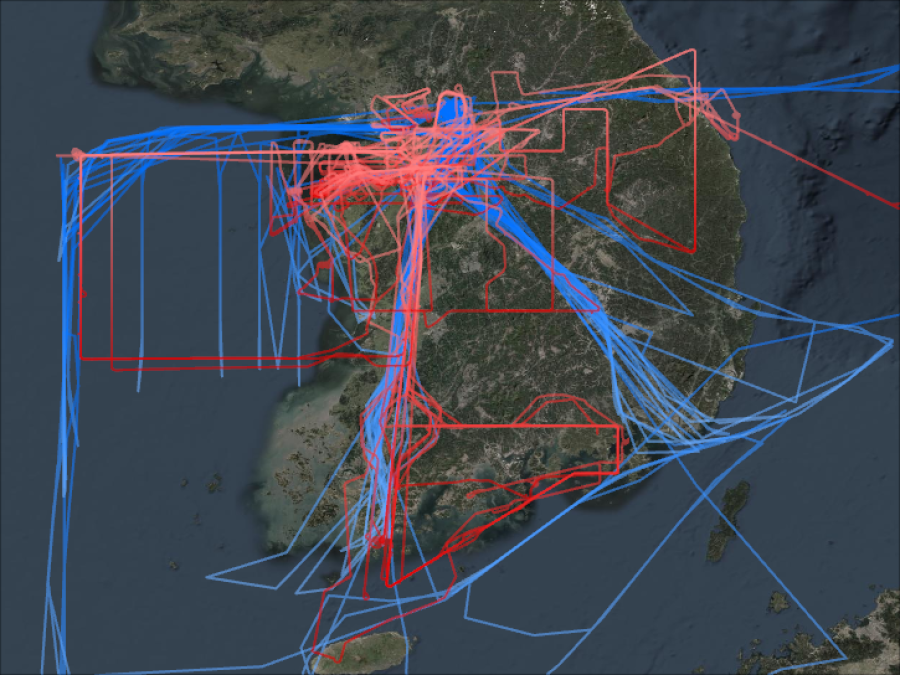
To achieve these science objectives, the KORUS-AQ team adopted a highly coordinated sampling strategy involving surface and airborne measurements with both in situ and remote sensing instruments. Surface observations provided details on ground-level air quality conditions, while airborne sampling provided an assessment of conditions aloft that are necessary to understand the role of emissions, chemistry, and dynamics in determining air quality outcomes and to corroborate and understand satellite observations. The sampling region covered the South Korean peninsula and surrounding waters, with a primary focus on the Seoul Metropolitan Area.
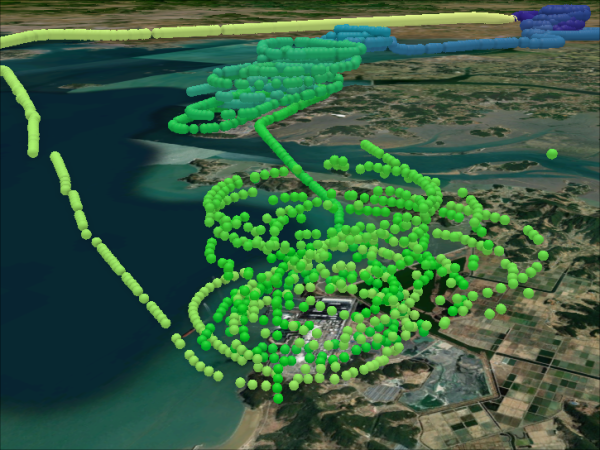
Airborne sampling was primarily conducted from near the surface to about 8 km altitude, with extensive profiling to characterize the vertical distribution of pollutants and their precursors. Airborne observational data were collected from three aircraft: the NASA DC-8, NASA B-200, and Hanseo King Air. Surface measurements were conducted from 16 ground sites and two ships: R/V Onnuri and R/V Jang Mok.
The major data products include in situ measurements of trace gases (e.g., ozone, reactive nitrogen species, carbon monoxide and dioxide, methane, non-methane and oxygenated hydrocarbon species) and aerosols (e.g., microphysical and optical properties and chemical composition). Datasets also include active remote sensing of ozone and aerosols and passive remote sensing of NO2, CH2O, and O3 column densities.
The data products support research focused on examining the impact of photochemistry and transport on ozone and aerosols, evaluating emissions inventories, and assessing the potential use of satellite observations in air quality studies.