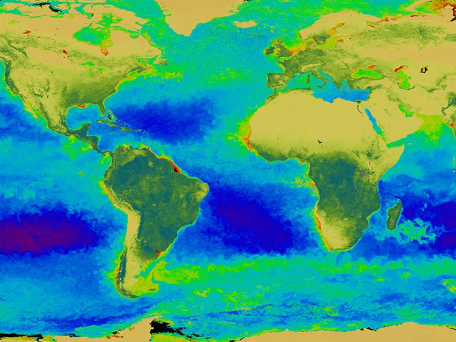

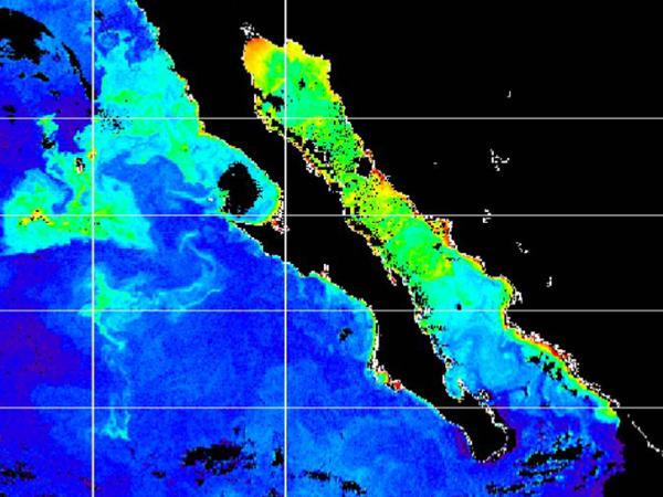
The SeaWiFS project is a part of NASA's Earth Science Enterprise, which is designed to look at our planet from space to better understand it as a system in both behavior and evolution. The concentration of phytoplankton can be derived from satellite observation and quantification of ocean color. This is due to the fact that the color in most of the world's oceans in the visible light region (wavelengths of 400-700 nm) varies with the concentration of chlorophyll and other plant pigments present in the water. This means that the more phytoplankton is present, the greater the concentration of plant pigments and the greener the water.
Ocean color data have been deemed critical by the oceanographic community for the study of ocean primary production and global biogeochemistry. "Primary production" refers to the organic material in the sea that is produced by "primary producers." These "primary producers," i.e. algae and some bacteria, exist at the lowest levels of the food chain and use sunlight or chemical energy, rather than other organic material, as sources of energy. It is thought that marine plants remove carbon from the atmosphere at a rate equivalent to terrestrial plants, but knowledge of interannual variability is very poor.
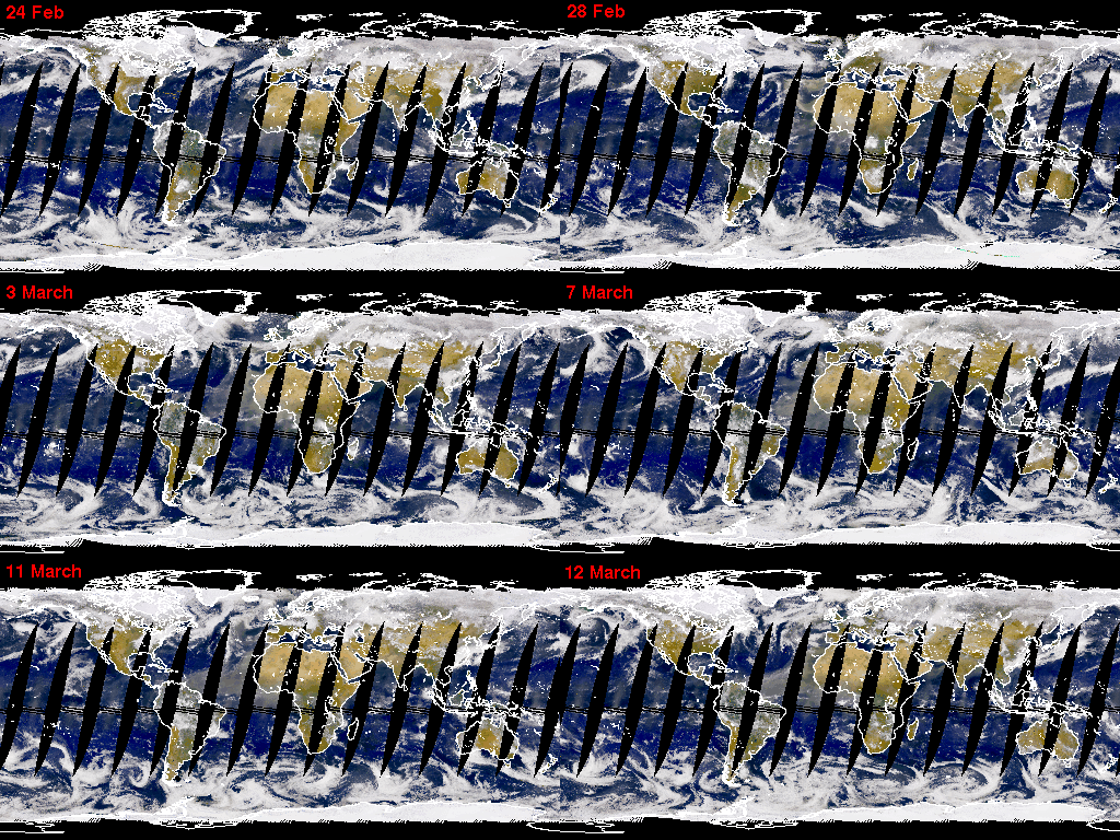
Since an orbiting instrument can view every square kilometer of cloud-free ocean every 48 hours, satellite-acquired ocean color data constitute a valuable tool for determining the abundance of ocean biota on a global scale and can be used to assess the ocean's role in the global carbon cycle and the exchange of other critical elements and gases between the atmosphere and the ocean. SeaWiFS operated as a follow-on sensor to the Coastal Zone Color Scanner (CZCS), which ceased operations in 1986. In the first arrangement of its kind, the U.S. government procured space-based environmental remote sensing data for research purposes from a commercial operator. Orbital Sciences Corporation (OSC) integrated SeaWiFS into its SeaStar spacecraft and marketed the data for commercial and operational use.