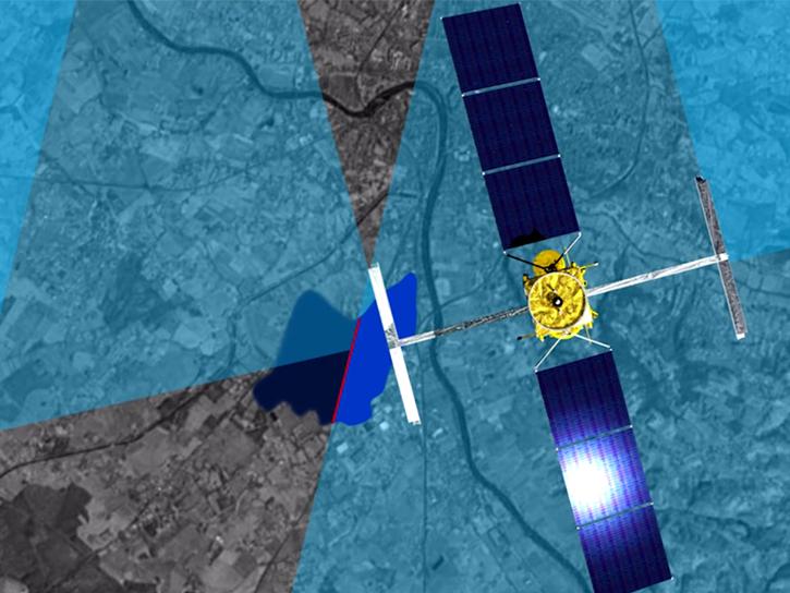
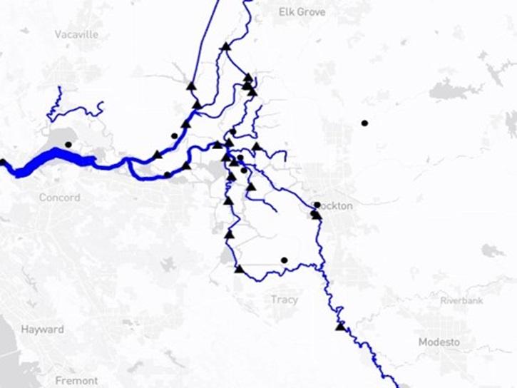
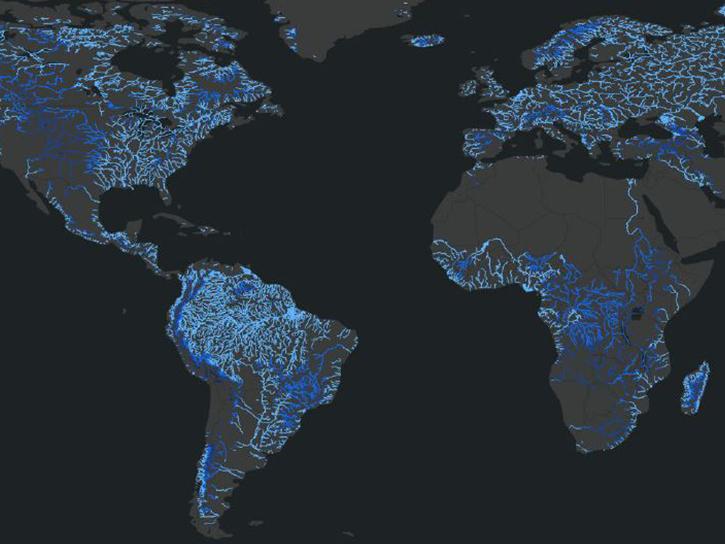
Hydrocron is an application programming interface (API) that enables users to receive all Surface Water and Ocean Topography (SWOT) observations for a specific river ID within a specified date range. Hydrocron is powered by Amazon Web Services (AWS) using API Gateway, Lambda functions, DynamoDB tables, and SNS notifications. As data are ingested into the archive, SWOT shapefiles are unpacked and each river reach (a 10-km section of a river) and node (a point every 200 meters along a reach) is added to a database.

Users can query the API with a feature ID (i.e., the specific ID of the reach or the node that a user is interested in), a time range of interest (both a start and an end date), and their desired data format (GeoJSON or CSV).
Tool at a Glance

Hydrocron News

Filters
The Water Information from SPace (WISP) dashboard brings together data from NASA’s SWOT satellite and USGS streamgages in a user-friendly application.
Blog
July 30, 2025
SHOWING 4 OF 6

Hydrocron Learning Resources

Filters
SHOWING 1 OF 1

Join Our Community of NASA Data Users

While NASA data are openly available without restriction, an Earthdata Login is required to download data and to use some tools with full functionality.

Learn About the Benefits of Earthdata Login

Get Help

QUESTIONS & SUPPORT

Have a question?

Get help with NASA Earth science data, datasets, tools, services, and metadata on the Earthdata Forum. Experienced staff in the data user community review and answer questions.

Get help on Earthdata Forum
Earthdata
Forum