
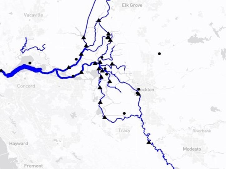
The Water Information from Space (WISP) dashboard displays real-time satellite hydrology data and streamflow and water level data from the United States Geological Survey (USGS) and NASA's Surface Water Ocean Topography (SWOT) platform. WISP efficiently harmonizes SWOT data of rivers and lakes with nearby USGS gage data, allowing end users to compare satellite-based data to nearby ground monitoring data.

SWOT timeseries data have been downloaded using the Hydrocron API developed by NASA's Physical Oceanography Distributed Active Archive Center (PO.DAAC).


Tool at a Glance

Data Tool Type

Monitoring Natural Events
Visualization

WISP News

Filters
No Results

WISP Learning Resources

Filters
No Results

Join Our Community of NASA Data Users

While NASA data are openly available without restriction, an Earthdata Login is required to download data and to use some tools with full functionality.

Learn About the Benefits of Earthdata Login

Frequently Asked Questions

Earthdata Forum

Our online forum provides a space for users to browse thousands of FAQs about research needs, data, and data applications. You can also submit new questions for our experts to answer.

Submit Questions to Earthdata Forumand View Expert Responses

Earthdata
Forum