We are in the process of migrating all NASA Earth science data sites into Earthdata from now until end of 2026. Not all NASA Earth science data and resources will appear here until then. Thank you for your patience as we make this transition.
Read about the Web Unification Project
Webinars
Our online webinars, trainings, and workshops feature experts in various disciplines who share their knowledge in a particular subject area, from data in the cloud to specific data tools.
Featured Webinars

Diane Fritz, an associate scientist at NSIDC DAAC, demonstrates how to use the harmony-py Python library to customize data requests from the NASA Earthdata Cloud.
June 2, 2026,3:00-3:30 p.m. EDT(1900-1930 UTC)

User development specialist Timothy Frankstone presents a short walkthrough of content to help you discover data and other content for different Earth science topics.
May 27, 2026,2:00-2:15 p.m. EDT(1800-1815 UTC)

A data training webinar to learn about the ICESat-2 Global Geolocated Photons product and two snow depth estimation methods.
April 29, 2026,2:00-3:00 p.m. EDT(1800-1900 UTC)
Filters
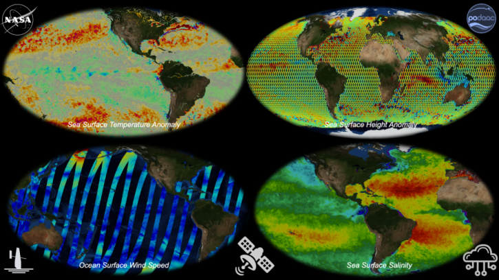
Join us to learn about NASA's archive for physical oceanography data in the context of Open Science. We'll provide you with an introduction to remote sensing and in situ products at PO.DAAC and show you how to work with these data in the cloud.
March 24, 2021,2:00 p.m. EDT(1800 UTC)
Learn how to build a tiny knowledge graph based on articles about scientific topics.
March 11, 2021,1:00-2:00 p.m. EST(1800-1900 UTC)
This webinar will introduce users to radiometrically terrain corrected (RTC) datasets and demonstrate the process of using Vertex to search for source granules, submit them for processing, and access the finished products.
Feb. 21, 2021,2:00 p.m. EST(1900 UTC)
Learn about the incredible power of synthetic aperture radar (SAR).
Feb. 5, 2021,1:00-2:00 p.m. EST(1800-1900 UTC)
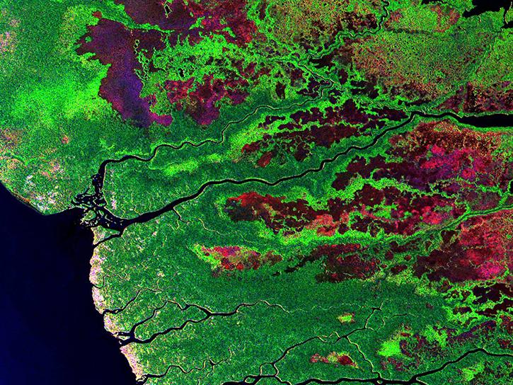
Learn about the different applications of synthetic aperture radar (SAR) datasets.
Feb. 5, 2021,1:00-2:00 p.m. EST(1800-1900 UTC)

Join us as we demonstrate core use cases of Earthdata Search while highlighting key features and functionality. Whether you are a long-time Earthdata Search user or just now hearing about Earthdata Search for the first time, this webinar will be useful for you in your efforts to search for, discover, and use Earth science data.
Feb. 3, 2021,2:00 p.m. EST(1900 UTC)

The webinar introduces satellite remote sensing, radiance conversion, image classification, and geophysical product creation, and more.
Jan. 29, 2021,1:00-2:00 p.m. EST(1800-1900 UTC)
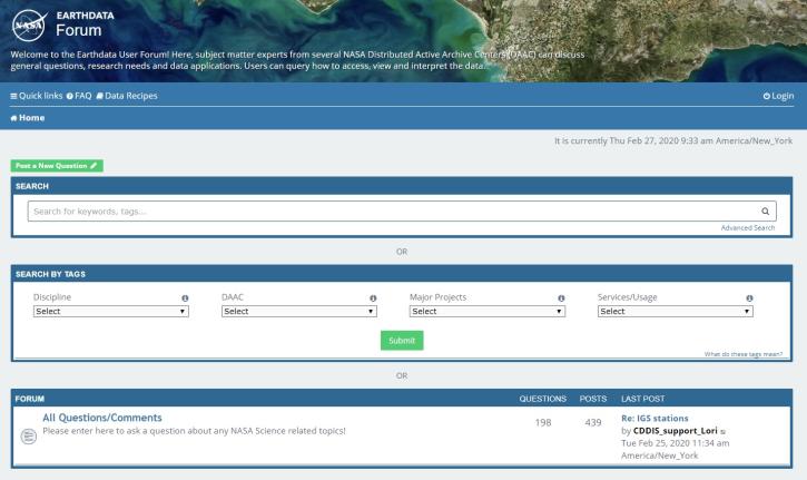
Join us for an introduction to the Earthdata Forum, a hub for submitting your questions about NASA Earth science data, services, and tools and for finding answers on how to discover and use the data distributed by the DAACs represented on the Earthdata Forum.
Nov. 18, 2020,2:00 p.m. EST(1900 UTC)
SHOWING 8 OF 203