Delivery of Suomi National Polar-orbiting Partnership (Suomi NPP) satellite data products will cease on November 1, 2026. Data users should transition now to alternative products from NOAA-21 and NOAA-20.
Suomi NPP data announcement
StoryMaps
Esri StoryMaps created by NASA explore emerging Earth science data.
Filters

1 MIN READ
Access resources for exploring and working with OPERA Surface Displacement from Sentinel-1 (DISP-S1) products from NASA’s Alaska Satellite Facility Distributed Active Archive Center (ASF DAAC).
Sept. 2, 2025
1 MIN READ
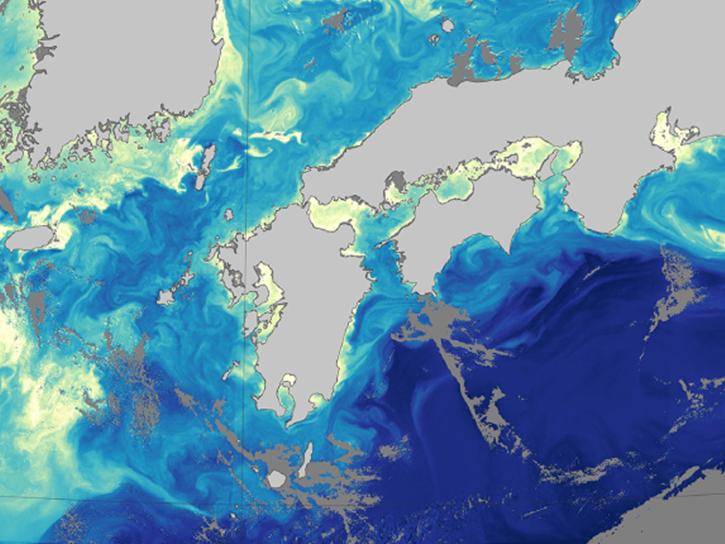
Learn how to access and analyze PACE data in ArcGIS to uncover new insights about Earth.
Aug. 27, 2025

1 MIN READ
Our Earth Data Officer, Katie Baynes, spoke at the Federal GIS Conference Plenary. In case you missed her presentation, here is a story map for you to catch up on how NASA Earth data can be leveraged in your GIS project.
March 5, 2025
1 MIN READ
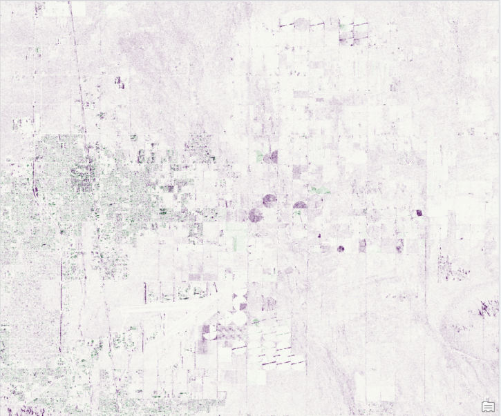
Work with data from the NASA/ISRO (Indian Space Research Organization) Synthetic Aperture Radar (NISAR) platform in ArcGIS Pro with data from NASA's Alaska Satellite Facility Distributed Active Archive Center (ASF DAAC).
Feb. 26, 2025
1 MIN READ
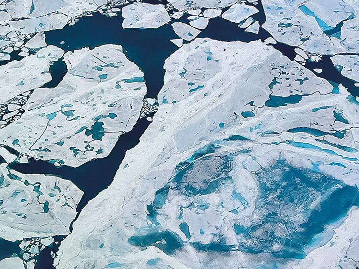
Can summer salinity values help better predict ice formation in the fall?
Jan. 22, 2025

1 MIN READ
Learn about NASA's Aerosol Cloud meTeorology Interactions oVer the western ATlantic Experiment (ACTIVATE) campaign.
Jan. 22, 2025
1 MIN READ
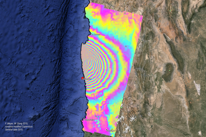
Order Sentinel-1 interferometric synthetic aperture radar (InSAR) products On Demand from NASA’s Alaska Satellite Facility Distributed Active Archive Center (ASF DAAC) for individual SLC bursts.
Nov. 1, 2024
1 MIN READ
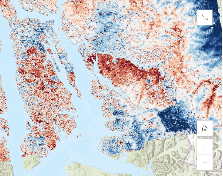
Learn about the water masking option provided by NASA’s Alaska Satellite Facility Distributed Active Archive Center (ASF DAAC) for on-demand Sentinel-1 interferometric synthetic aperture radar (InSAR).
Aug. 23, 2024
SHOWING 8 OF 59