We are in the process of migrating all NASA Earth science data sites into Earthdata from now until end of 2026. Not all NASA Earth science data and resources will appear here until then. Thank you for your patience as we make this transition.
Read about the Web Unification Project
StoryMaps
Esri StoryMaps created by NASA explore emerging Earth science data.
Filters

1 MIN READ
Discover the who, what, and why behind SASSIE's data collection.
Aug. 22, 2024

1 MIN READ
Data from Polar Radiant Energy in the Far-InfraRed Experiment (PREFIRE), hosted by the Atmospheric Science Data Center (ASDC), will help to bridge a critical knowledge gap in climate science.
June 19, 2024

1 MIN READ
NASA's Atmospheric Science Data Center (ASDC) releases the new Sub-Orbital Order Tool (SOOT) Power User Interface.
June 14, 2024

1 MIN READ
This StoryMap highlights the stratospheric intrusions observed by TOLNet lidars.
May 29, 2024
1 MIN READ
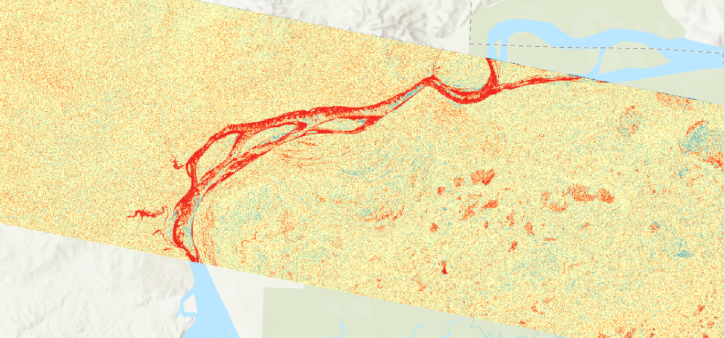
View a change detection workflow for Radiometric Terrain-Corrected products from Sentinel-1 (RTC-S1) provided by NASA's OPERA project and Alaska Satellite Facility Distributed Active Archive Center (ASF DAAC).
March 4, 2024
1 MIN READ
Access cloud-optimized Sentinel-1 radiometric terrain corrected SAR backscatter products from NASA's OPERA project and Alaska Satellite Facility Distributed Active Archive Center (ASF DAAC).
Dec. 1, 2023
1 MIN READ
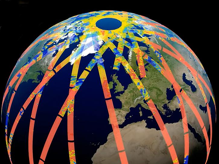
Geographic Information Systems - going beyond mapping! Providing powerful capabilities to visualize, analyze, and interact with big data
Nov. 24, 2023
SHOWING 8 OF 59