We are in the process of migrating all NASA Earth science data sites into Earthdata from now until end of 2026. Not all NASA Earth science data and resources will appear here until then. Thank you for your patience as we make this transition.
Read about the Web Unification Project
Featured Data Tools

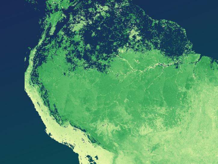
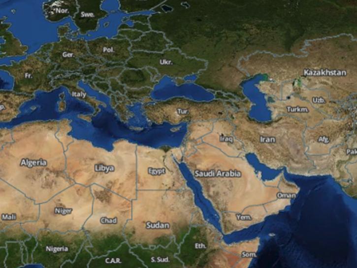
Worldview offers the capability to interactively browse over 1,200 global, full-resolution satellite imagery layers and download the underlying data.
The The Application for Extracting and Exploring Analysis Ready Samples (AppEEARS) offers users a simple and efficient way to perform data access and transformation processes.
Earthdata Search enables data discovery, search, comparison, visualization, and access across NASA’s Earth science data holdings.

The Fire Information for Resource Management System (FIRMS) provides access to satellite imagery, active fire/hotspots, and related products to identify the location, extent, and intensity of wildfire activity.
Earthdata GIS is a resource for distributing cloud-native, GIS-ready NASA Earth science data and services, including over 200 raster and feature geospatial services as well as resources such as thematic applications and ArcGIS StoryMaps.
Explore All Data Tools
| Tool Sort descending | Description | Services | |
|---|---|---|---|
| MISR Orbit Tool | The MISR Orbit Tool is an interactive interface for converting dates to MISR Orbit number and Orbit numbers to dates. | Analysis, Search and Discovery, Visualization | |
| MISR Paths/Blocks Intersecting a Lat/Lon Box | NASA's MISR Paths/Blocks Intersecting a Lat/Lon Box tool enables users to obtain Multi-Angle Imaging SpectroRadiometer (MISR) paths based on latitude and longitude. | ||
| NASA Harmony | Use NASA Harmony services to prepare analysis-ready data, reduce time-to-science, and apply spatial and temporal subsetting to reduce data volume. | Subsetting, Transformation | |
| NYS FIDSS Mapper | The New York State Flood Information Decision Support System Mapper is an easy-to-use mapping tool visualizes building footprint data for nearly all New York State’s infrastructure, except New York City. | Visualization | |
| OB.DAAC Direct Data Access | NASA's Ocean Biology Distributed Active Archive Center (OB.DAAC) provides direct access to all available data through HTTPS protocol, suitable for asynchronous bulk downloads. | Analysis, Search and Discovery, Visualization | |
| OB.DAAC File Search Utility | Find and download instrument data archived at OB.DAAC using mission parameters or filename patterns, including support for wildcard searching on partial filenames. | Analysis, Search and Discovery, Visualization | |
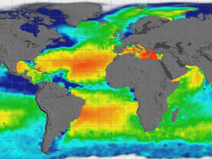
| Ocean Color Level 3 and 4 Browser | The Ocean Color Level 3 and 4 Browser allows users to view, download, or order global composites at various spatial and temporal scales (level 3) or get results from analyses of lower-level data (level 4). | Analysis, Search and Discovery, Visualization | |
| OpenAltimetry | OpenAltimetry is a map-based visualization tool for exploring surface elevation data across Earth over time. | Analysis, Search and Discovery, Visualization | |
| OPeNDAP | OPeNDAP handles transport, translation, and subsetting of data residing in most Earth science data formats. | Downloading, Subsetting | |
| OpenScienceLab | OpenScienceLab is an ecosystem of open-source tools for data analysis provided by NASA’s Alaska Satellite Facility Distributed Active Archive Center (ASF DAAC). | Analysis |
SHOWING 10 OF 84