We are in the process of migrating all NASA Earth science data sites into Earthdata from now until end of 2026. Not all NASA Earth science data and resources will appear here until then. Thank you for your patience as we make this transition.
Read about the Web Unification Project
Filters

Publication from NASA ESDIS describing research uses of data from EOSDIS - land systems can change from something desirable to something undesirable.
Feature Article
July 22, 2020
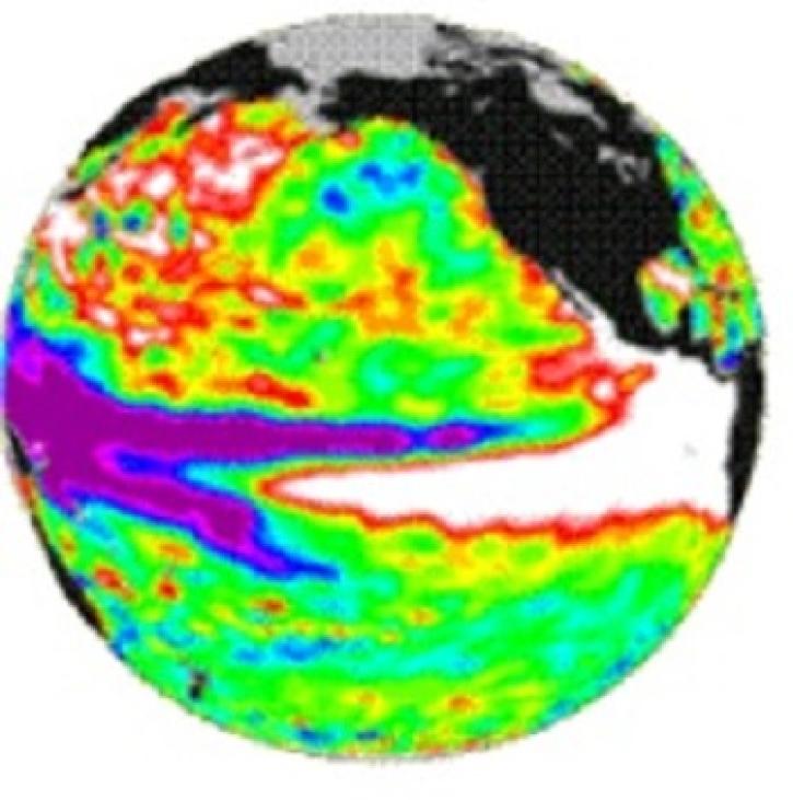
TOPEX/Poseidon measured the gradual build-up of warm water in the easter equatorial Pacific.
Feature Article
July 22, 2020

The SSM/I Pathfinder is a prototype mapping and gridding system for systematic time-series studies and direct digital comparison of different satellite data sets.
Feature Article
July 21, 2020

An ocean general circulation model produces sea level and temperature responses to four separate events.
Feature Article
July 21, 2020

The TOPEX and Poseidon satellites monitor ocean surface topography.
Feature Article
July 21, 2020

Scientists study Mount Unzen in Japan to explore the use of satellite data to monitor volcanic domes.
Feature Article
July 21, 2020

The Distributed Oceanographic Data System (DODS) uses the internet to find and obtain oceanographic data.
Feature Article
July 21, 2020
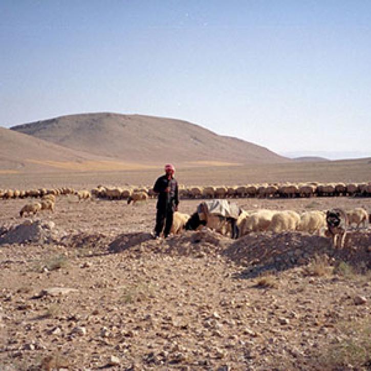
Remote estimates of crop yields help international aid agencies decide how to act.
Feature Article
July 21, 2020
SHOWING 8 OF 2378