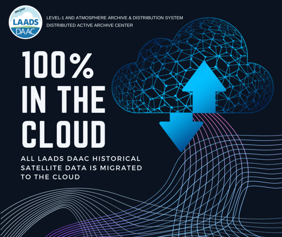
NASA’s Level-1 and Atmosphere Archive and Distribution System Distributed Active Archive Center (LAADS DAAC) has completed the migration of all historical satellite-derived data collections to the Earthdata Cloud.
Getting LAADS DAAC data in the cloud is one way in which the DAAC is encouraging inclusive science research as well as supporting A Year of Open Science and NASA’s Open-Source Science Initiative.
Cloud-based LAADS DAAC data can be accessed using NASA's Earthdata Search tool. Filter your search by selecting LAADS DAAC under “Organization” and “Available in Earthdata Cloud” under Features.
As we celebrate this milestone, please note that LAADS DAAC cloud-based datasets can only be accessed in the cloud from the US-West-2 region. LAADS DAAC does not yet provide any cloud-based data services. All data collections are available in their native format for each sensor—HDF4 for Moderate Resolution Imaging Spectroradiometer (MODIS) data and HDF4, HDF5, and NetCDF4 for Visible Infrared Imaging Radiometer Suite (VIIRS) data.
Learn More
For more information on how to access cloud-based LAADS DAAC data, please see the tutorials:
