Delivery of Suomi National Polar-orbiting Partnership (Suomi NPP) satellite data products will cease on November 1, 2026. Data users should transition now to alternative products from NOAA-21 and NOAA-20.
Suomi NPP data announcement
Eruption near Mount Fagradalsfjall, Iceland
Image captured on 11 May 2021, by the MODIS instrument, aboard the Terra satellite.
Image
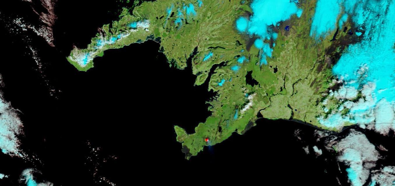
False-color image (Bands 7,2,1) of lava from a volcanic eruption near Mount Fagradalsfjall, on the Reykjanes Peninsula, Iceland. This image was acquired on 11 May 2021 by the Moderate Resolution Imaging Spectroradiometer (MODIS), aboard the Terra satellite. The red area in the south-central region of the peninsula in the center of the image is where the volcano is located. Extremely hot features, such as lava, can “glow” in the shortwave-infrared part of the spectrum.
Visit Worldview to visualize near real-time imagery from NASA's EOSDIS, and check out more Worldview weekly images in our archive.
Details
Last Updated
Published on
May 17, 2021