We are in the process of migrating all NASA Earth science data sites into Earthdata from now until end of 2026. Not all NASA Earth science data and resources will appear here until then. Thank you for your patience as we make this transition.
Read about the Web Unification Project
Filters
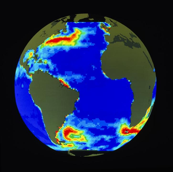
High quality sea level data from TOPEX/Poseidon help scientist to observe Rossby waves.
Feature Article
July 23, 2020
In response to the Deepwater Horizon oil spill, researchers used a machine learning algorithm to classify oil thickness with Terra ASTER data.
Data in Action
July 23, 2020
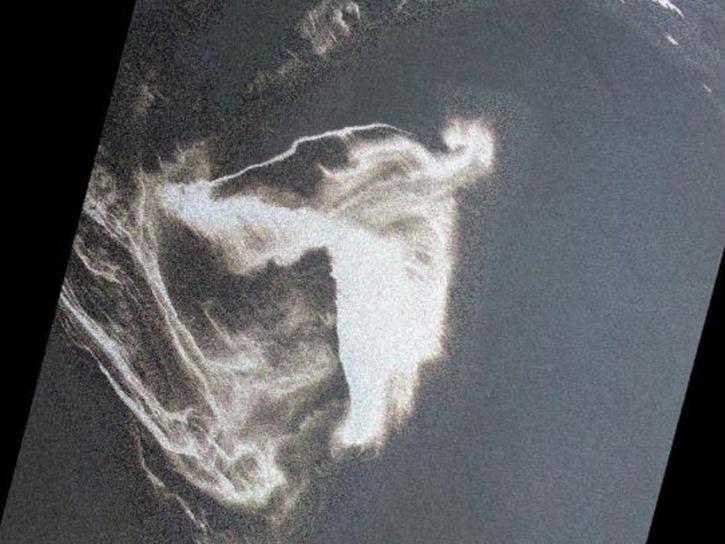
SAR and in situ data help model convection-driven ice-edge retreat causing growth of Nordbukta.
Feature Article
July 22, 2020

A simple tool helps a scientist open the remotely sense world to her students.
Feature Article
July 22, 2020

Remote sensing plays a central role in the management of foreign policy.
Feature Article
July 22, 2020
NASA ESDIS article describing research uses of data - MODIS aids the study and interpretation of the history of Antarctic temperature and climate records.
Feature Article
July 22, 2020

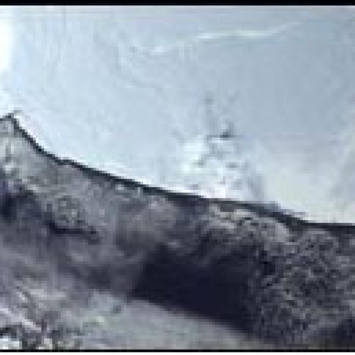
QuikSCAT provides a complete view of continental ice sheets on Greenland.
Feature Article
July 22, 2020

DINAS-COAST scientists create software to better understand coastal vulnerability to sea level rise under a variety of climate and socioeconomic scenarios.
Feature Article
July 22, 2020
SHOWING 8 OF 2367