We are in the process of migrating all NASA Earth science data sites into Earthdata from now until end of 2026. Not all NASA Earth science data and resources will appear here until then. Thank you for your patience as we make this transition.
Read about the Web Unification Project
Filters
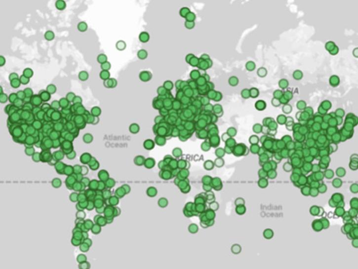
NASA's Socioeconomic Data and Applications Center has updated two of its online mapping tools with new data and functionality.
News
July 3, 2020

See how the Tennessee Valley Energy DEVELOP team used Earth observations to predict river water temperatures for managing and protecting aquatic ecosystems.
Data in Action
July 1, 2020
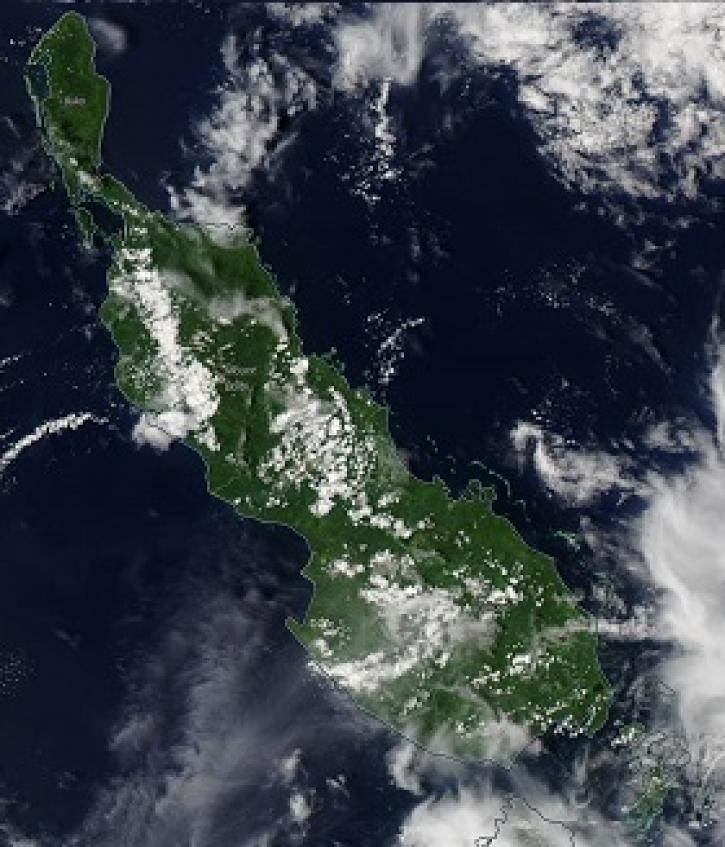
Image captured on 24 October 2019, by the MODIS instrument, aboard the Aqua satellite.
Worldview Image of the Week
June 30, 2020

Image captured on 18 September 2016 by the VIIRS instrument, aboard the joint NASA/NOAA Suomi NPP satellite.
Worldview Image of the Week
June 30, 2020

Image captured on 15 February 2020, by the MODIS instrument, aboard the Aqua satellite.
Worldview Image of the Week
June 30, 2020

Image captured on 24 June 2018 by the VIIRS instrument aboard the joint NASA/NOAA Suomi NPP satellite.
Worldview Image of the Week
June 30, 2020

Image captured on 14 June 2020, by the VIIRS instrument, aboard the joint NASA/NOAA Suomi NPP satellite.
Worldview Image of the Week
June 30, 2020

Researchers used MODIS land cover products and ASTER models to identify suitable areas where an endangered species of monkey may reside.
Data in Action
June 29, 2020
SHOWING 8 OF 2371