We are in the process of migrating all NASA Earth science data sites into Earthdata from now until end of 2026. Not all NASA Earth science data and resources will appear here until then. Thank you for your patience as we make this transition.
Read about the Web Unification Project
Filters
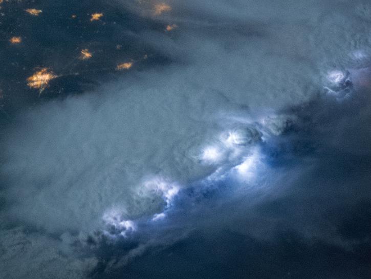
NASA's Lightning Imaging Sensor (LIS) surveyed lightning flashes of all shapes, sizes, and radiances across the tropics.
Data in Action
Oct. 19, 2018
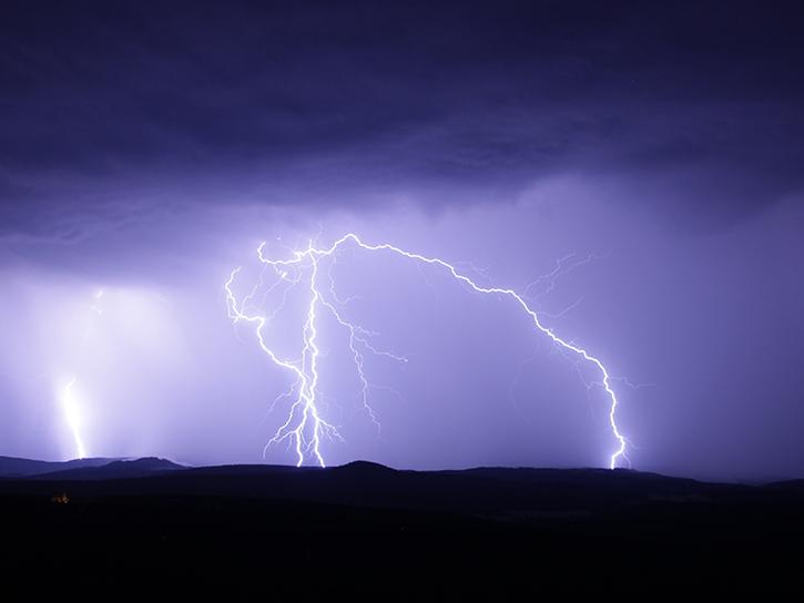
NASA's Global Hydrology Resource Center Distributed Active Archive Center (GHRC DAAC) has released 10 different gridded lightning climatology datasets.
Data in Action
Oct. 19, 2018
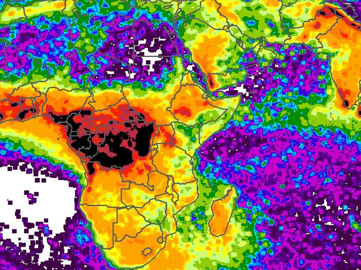
NASA climatology datasets have revealed Lake Maracaibo, Venezuela, as the peak lightning hotspot on Earth.
Data in Action
Oct. 19, 2018
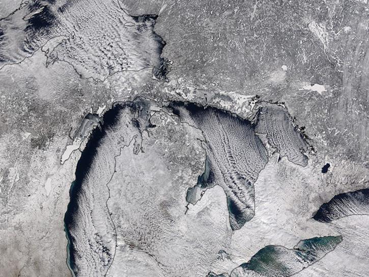
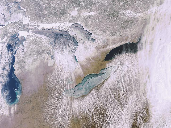
Studying the mechanics of lake effect snow helps researchers better understand water/land contrasts across snowfall bands.
Data in Action
Oct. 19, 2018
What is the 3D structure of falling snow and how does its variability affect remotely sensed retrievals?
Data in Action
Oct. 19, 2018
This recipe will go over the basic steps to get started in the Sentinel-1 Toolbox and to create a subset of your desired area of study.
Data Recipe
Oct. 18, 2018

This study analyzes 23,000 globally distributed wildfire smoke plume injection heights from MISR, stratified by region, biome, and month or season.
Data in Action
Oct. 10, 2018

This new feature aids in investigating changes between two time periods or quickly comparing different types of imagery on the same date.
Blog
Oct. 4, 2018
SHOWING 8 OF 2371