We are in the process of migrating all NASA Earth science data sites into Earthdata from now until end of 2026. Not all NASA Earth science data and resources will appear here until then. Thank you for your patience as we make this transition.
Read about the Web Unification Project
Filters
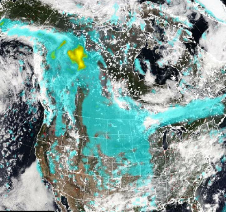
Pyrocumulonimbus (pyroCb) events (fire thunderstorms) caused by wildfires in western Canada were detected by the Ozone Mapping and Profiler Suite (OMPS) instrument July 19-24, 2024.
News
July 30, 2024
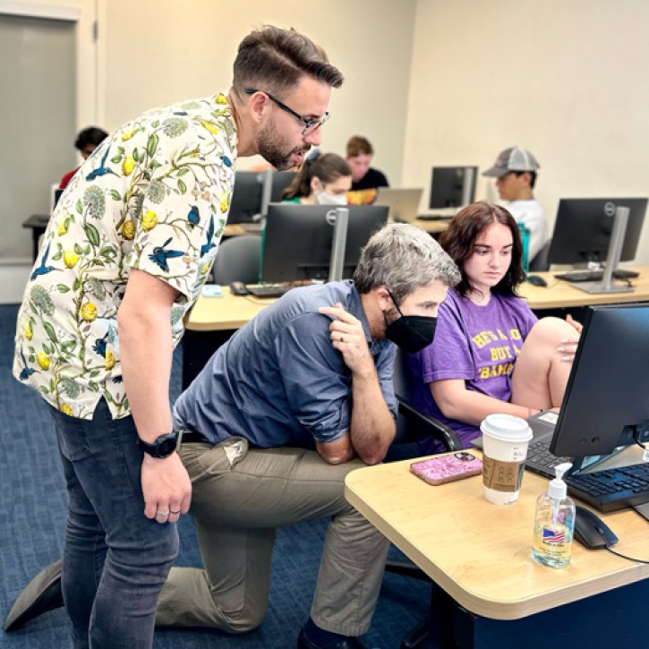
Developers envision the updated Field Campaign Explorer as a cloud-based, enterprise-level data tool that encourages open science.
Blog
July 30, 2024

Dr. Franz Meyer, chief scientist for the Alaska Satellite Facility (ASF), has been recognized by the Institute of Electrical and Electronics Engineers.
News
July 29, 2024
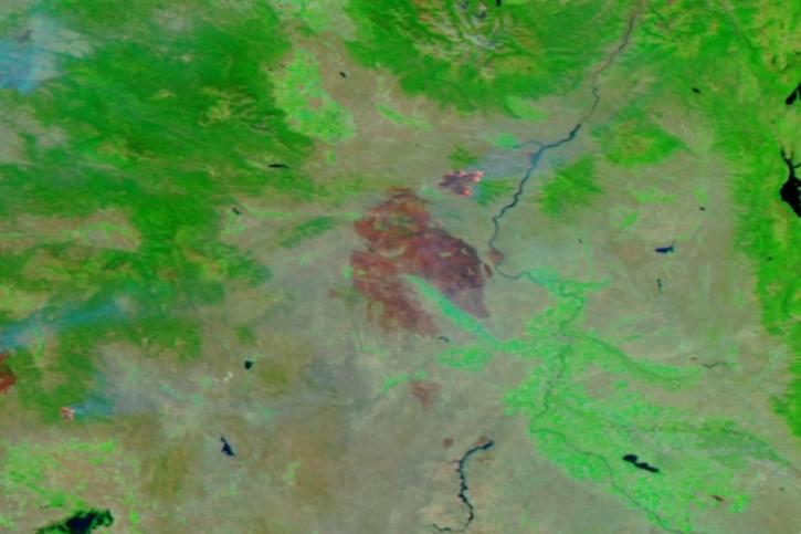
Image captured on July 23, 2024, by the VIIRS instrument aboard the joint NASA/NOAA NOAA-20 satellite.
Worldview Image of the Week
July 25, 2024
A NASA-funded project is helping U.S. college students learn how to work with ECOSTRESS mission data and communicate the science behind these data.
News
July 23, 2024

Image captured on July 17, 2024, by the VIIRS instrument aboard the joint NASA/NOAA NOAA-20 satellite.
Worldview Image of the Week
July 18, 2024

Assessment of the 2022 Satellite Needs Working Group (SNWG) survey identified six science activities to address U.S. Federal civilian agency satellite needs.
News
July 18, 2024
Image captured on July 9, 2024, by the VIIRS instrument aboard the joint NASA/NOAA NOAA-20 satellite.
Worldview Image of the Week
July 11, 2024
SHOWING 8 OF 2371