From discovery to visualization, data tools such as the MOPITT Search and Subsetting Web Application, NASA’s Air Quality and Climate Anomaly Viewer, and the Wisconsin Horizontal Interpolation Program for Satellites (WHIPS) guide users in making the most of atmospheric carbon monoxide data.
Atmospheric Carbon Monoxide Data Access and Tools
Commonly Used Carbon Monoxide Data at a Glance
Descriptions of these measurements will be reviewed in more detail later in this Data Pathfinder. The following sections will help guide you to topic-specific data and resources for accessing, visualizing, preparing/manipulating (e.g. subsetting), and analyzing data. Each observation, model, and reanalysis data has unique characteristics that should be considered when evaluating its use.
An asterisk (*) next to an entry indicates that near real-time (NRT) data products are available through NASA's Land, Atmosphere Near real-time Capability for EOS (LANCE). While not intended for scientific research, NRT data are good resources for monitoring ongoing or time-critical events. To learn more about the difference between NRT and Standard Science Products, see Near Real Time versus Standard Products.
| Spatial Resolution | Spatial Coverage | Temporal Resolution | Temporal Coverage | Spectral Resolution | Satellite/ Platform | Name (Sensor, Model, etc.) | Observation, Model, or Reanalysis | File Format |
|---|---|---|---|---|---|---|---|---|
| 50 km x 50 km | Global | 6 minutes | 2002-present | 2,378 infrared channels in the 3.74-15.4 micron spectral range | Aqua | *AIRS | Observation | HDF-EOS |
| 165 km x 3 km | Near-global | Twice daily [day, night] | 2004-present | At millimeter and submillimeter wavelengths | Aqua | *MLS | Observation | HDF-EOS5 |
| ~22 km | Global | Daily, Monthly | 2000-present | near-infrared radiation at 2.3 µm and thermal-infrared radiation at 4.7 µm | Terra | *MOPITT | Observation | HDF-EOS5 |
| 5.5 km x 7 km | Global | 101.5 minutes | 2018-present | 270 nm-2.3 µm, 0.55 nm | Sentinel-5P | TROPOMI | Observation | netCDF |
| 0.25º x 0.25° | Global | 15 min, Hourly | Daily 5-day forecast | N/A | N/A | GEOS-CF | Model | netCDF |
| 0.25º x 0.312° | Global | 3-hourly | Near-real time assimilation (DAS), 10-day forecast at 00z and 5-day forecast at 12z | N/A | N/A | GEOS FP | Analysis | netCDF |
| Point measurements | Global | Periodic flights occurred during each deployment | 2016-2018 | varies | Airborne Field Campaign | Atmospheric Tomography Mission (ATom) campaign with varying instruments | Observation | netCDF |
Atmospheric Carbon Monoxide Datasets
Featured Atmospheric Carbon Monoxide Observation Method: MOPITT
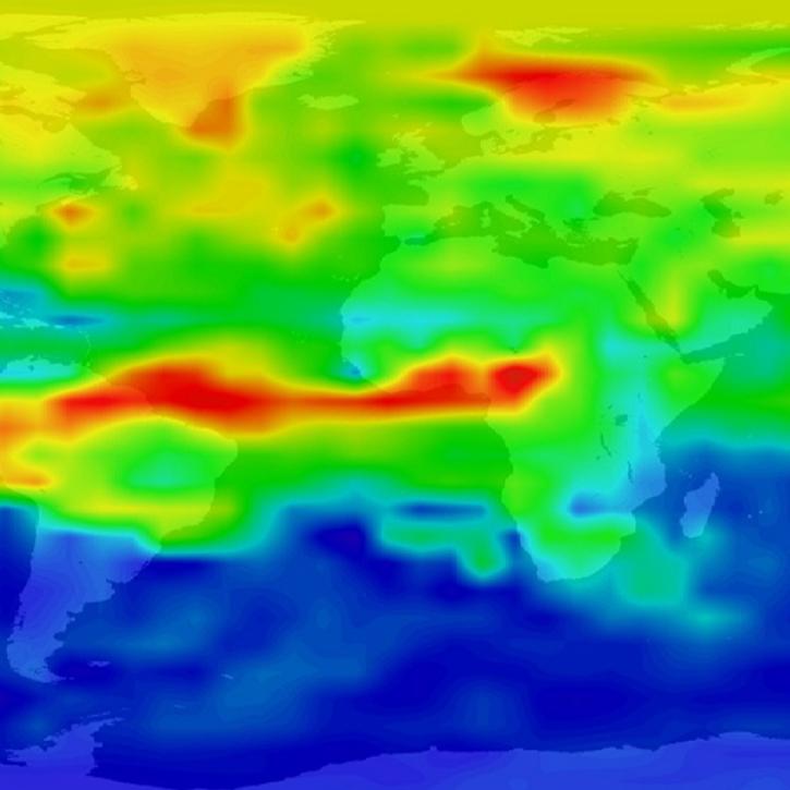
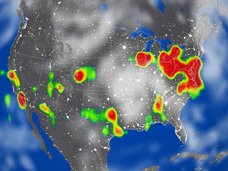
The Measurement of Pollution in the Troposphere (MOPITT) instrument aboard NASA's Terra satellite is designed to enhance our knowledge of the lower atmosphere and observe how it interacts with the land and ocean biospheres. MOPITT’s specific focus is on the distribution, transport, sources, and sinks of carbon monoxide in the troposphere.
Frequently Asked Questions
Earthdata Forum
Our online forum provides a space for users to browse thousands of FAQs about research needs, data, and data applications. You can also submit new questions for our experts to answer.
Submit Questions to Earthdata Forumand View Expert Responses