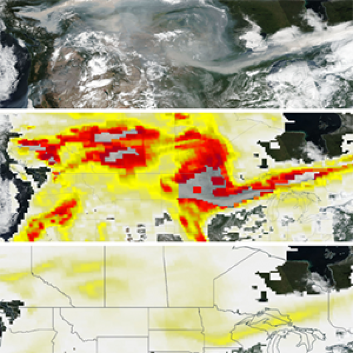
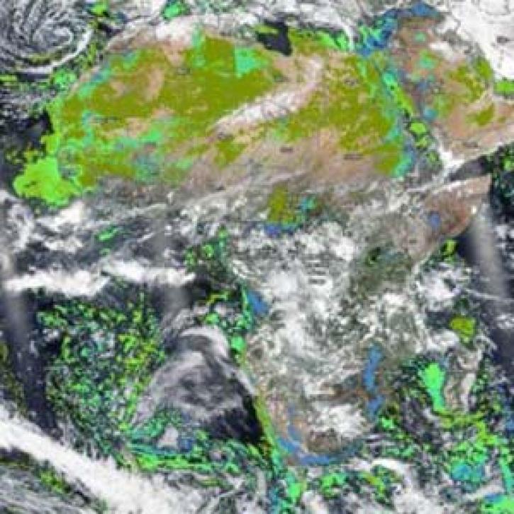
NASA has UV aerosol index datasets that help researchers analyze the composition of atmosphere and detect plumes of particles floating in it. Access a range of data and tools to make the most of UV aerosol index research.
UV Aerosol Index Data Access and Tools
Commonly Used Aerosol Index Data at a Glance
The following table is a guide to topic-specific data and resources for accessing, visualizing, preparing/manipulating (e.g. subsetting), and analyzing data. Each observation, model, and reanalysis data has unique characteristics that should be considered when evaluating its use.
An asterisk (*) next to an entry indicates that near real-time (NRT) data products are available through NASA's Land, Atmosphere Near real-time Capability for Earth observation (LANCE). While not intended for scientific research, NRT data are good resources for monitoring ongoing or time-critical events. Learn more about the differences between NRT and standard data products.
| Spatial Resolution | Spatial Coverage | Temporal Resolution | Temporal Coverage | Spectral Resolution | Satellite/ Platform | Name (Sensor, Model, etc.) | Observation, Model, or Reanalysis | File Format |
|---|---|---|---|---|---|---|---|---|
| 13 km x 24 km, 13 x 12 km 0.25°, 1° | Global | 98 minutes, 32 days | 2004-present | 1.0-0.45 nm Full Width and Half Maximum (FWHM) | Aura | Ozone Monitoring Instrument (OMI) | Observation | HDF-EOS5 |
| 50 km* | Global | 101 minutes, Daily | 2018-present | 250-420 nm *NRT:wavelength pairs at 340 and 378.5 nm | NASA/NOAA Suomi National Polar-orbiting Partnership (Suomi NPP) | *Ozone Mapping and Profiler Suite (OMPS) | Observation | HDF5 |
| 7 km x 3.5 km, 5.5 km x 3.5 km | Global | 101.5 minutes, Daily | 2017-present | 270 nm–2.3 µm, 0.55 nm | Sentinel-5P | TROPOMI | Observation | netCDF |
| 0.5º x 0.625° | Global | Monthly | 1980-present | N/A | N/A | MERRA-2 | Reanalysis | netCDF |
UV Aerosol Index Datasets
Featured UV Aerosol Index Observation Method: Suomi NPP
The Suomi National Polar-orbiting Partnership (Suomi NPP) platform collects Earth observation data to help scientists better understand climate trends and global biological productivity. Suomi NPP has two powerful instruments for gathering floating particle and UV aerosol index data: the Ozone Mapping and Profiling Suite (OMPS) and the Visible Infrared Imaging spectroRadiometer Suite (VIIRS).
UV Aerosol Index Data Tools
| Tool Sort descending | Description | Services | |
|---|---|---|---|
| Panoply | Panoply is a cross-platform application that plots geo-referenced and other arrays from netCDF, HDF, GRIB, and other datasets. | Visualization, Customization, Reformatting, Subsetting, Comparison |
Frequently Asked Questions
Earthdata Forum
Our online forum provides a space for users to browse thousands of FAQs about research needs, data, and data applications. You can also submit new questions for our experts to answer.
Submit Questions to Earthdata Forumand View Expert Responses