What is an invasive species?
Invasive species are organisms that move into a new ecosystem and have a negative impact on the new environment. This can include destroying native crops, reducing biodiversity, or harming human populations.
Any species that moves into a new ecosystem is called an exotic species, and not all of these are harmful. Sometimes they occupy a similar role in their new ecosystem as they did in their native environment. However, if an exotic species expands rapidly - for example, if it has no natural predators to keep its population in check in a new environment - then it can harm local biodiversity, by outcompeting native (endemic) species, preying on local animals, or crowding other species out of their habitats.
One example is the emerald ash borer, a beetle that the U.S. Department of Agriculture describes as “one of the most destructive invasive species in North America”. The emerald ash borer was unintentionally brought to the United States from Asia through ship cargo in 2002. It burrows into ash trees, which then usually die within 3-4 years. With no native predators, the ash borer spread rapidly in North America, devastating ash forests and destroying tens of millions of trees.
How do scientists monitor invasive species?
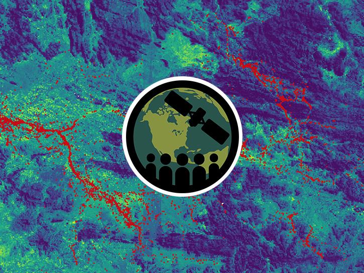
While remote sensing doesn’t usually allow scientists to observe species directly, it does provide a wealth of valuable data about conditions that affect the spread of a species. Measurements of slope, soil moisture, vegetation cover, and other environmental variables can be used to identify areas where an invasive species may thrive, and thus may be more likely to cause ecological harm or to outcompete native species.
Observations of surface conditions from missions like the Ecosystem Spaceborne Thermal Radiometer Experiment on the Space Station (ECOSTRESS), the Visible Infrared Imaging Radiometer Suite (VIIRS), and Plankton, Aerosol, ocean and Cloud Ecosystem (PACE) can inform these suitability models. ECOSTRESS observes land surface temperature and informs models of vegetation health and stress, helping researchers identify threats to forest ecosystems before they’re visible to the unaided eye. VIIRS and PACE also provide high-resolution imagery that can be used to track environmental changes across the globe.
In 2021, researchers used NASA Landsat imagery to identify invasive tamarisk (flowering plants) in the southeastern United States. Tamarisk has a different pattern of growth than native plants, so by monitoring vegetation indices throughout the year researchers were able to identify areas where tamarisk was growing. Maps like this can help land managers prevent and control the spread of invasive species, mitigating harm to the local environment.
How do scientists use invasive species data?
Remote sensing data helps scientists study the environmental impact of invasive species, and helps conservation groups take action to protect local biodiversity and ecosystem services. Satellite imagery can be used to help identify invasive plants, or changes in ground cover and vegetation health due to invasive species.
Invasive species are expected to become increasingly more common in the decades to come. Habitat loss from deforestation and urbanization pushes organisms out of their native environments into new areas. Climate change can shift the habitable range of species, which can lead to migrations of different plants and animals.
NASA Earthdata includes data on land cover, climate projections, and changes in vegetation cover and health. These data support risk assessments and habitat mapping that can help researchers monitor and respond to invasive species around the world.