We are in the process of migrating all NASA Earth science data sites into Earthdata from now until end of 2026. Not all NASA Earth science data and resources will appear here until then. Thank you for your patience as we make this transition.
Read about the Web Unification Project
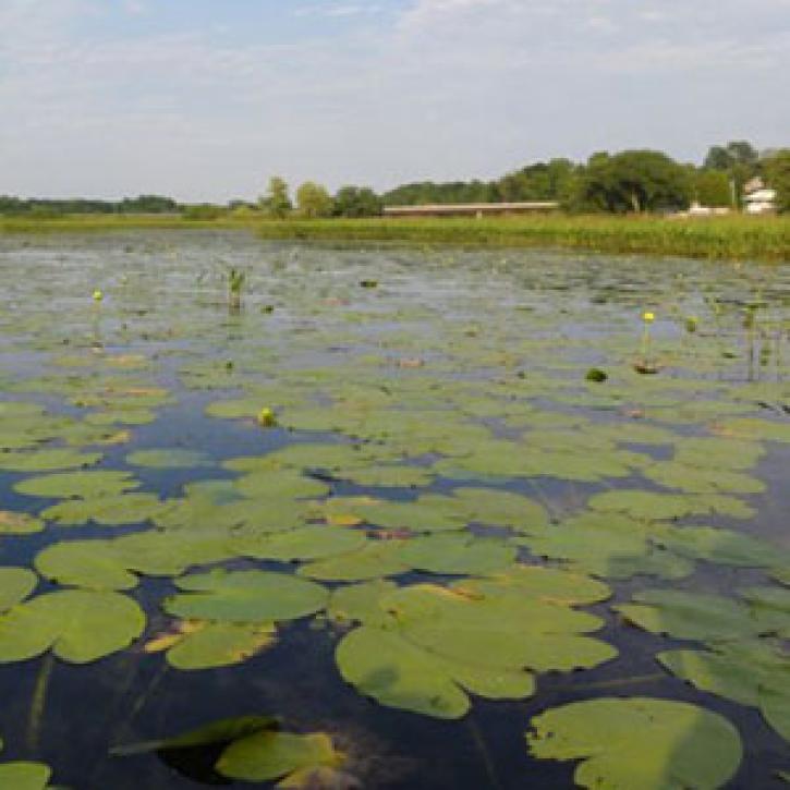
Wetlands News
Articles, resources, and announcements from Wetlands.
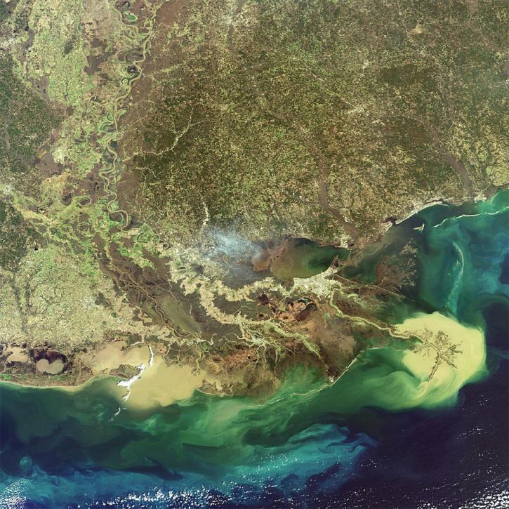
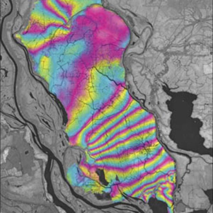
NASA researchers are using high resolution airborne data to determine the vulnerability and resilience of the Mississippi River Delta.
Feature Article
April 12, 2021
Researchers use remote sensing to measure mangrove forest extent and tree height to inform sustainable management of these ecosystems.
Feature Article
March 19, 2021

Scientists pit nature against nature to protect New Yorkers from storms.
Feature Article
Dec. 28, 2020

Who uses NASA Earth science data? Dr. Laura Bourgeau-Chavez, for studying wetlands and wildfire.
Data User Story
Dec. 22, 2020
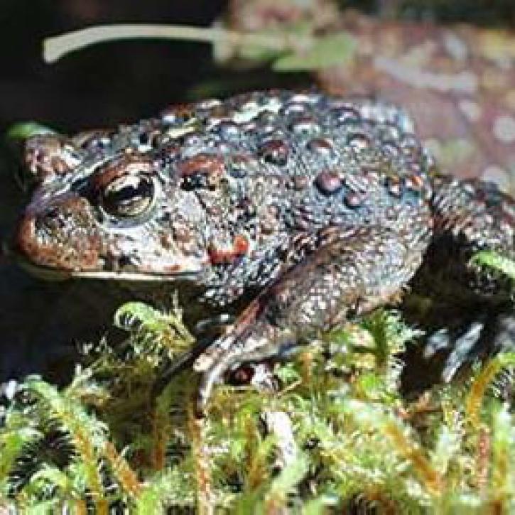
Amphibian deformities have now been reported in over 30 states, as well as Canada.
Feature Article
July 28, 2020
A technique to study land senses water-level changes in the Mississippi River delta.
Feature Article
July 28, 2020
SHOWING 7 OF 7