We are in the process of migrating all NASA Earth science data sites into Earthdata from now until end of 2026. Not all NASA Earth science data and resources will appear here until then. Thank you for your patience as we make this transition.
Read about the Web Unification Project
Snow Cover News
Articles, resources, and announcements from Snow Cover.

False-color Terra MODIS imagery and a snow cover index help distinguish clouds from snow on May 7, 2026.
Worldview Image of the Week
May 8, 2026

This citizen science research effort is creating a flurry of excitement for measuring snow in the Catskill and Adirondack Mountains.
News
March 14, 2025
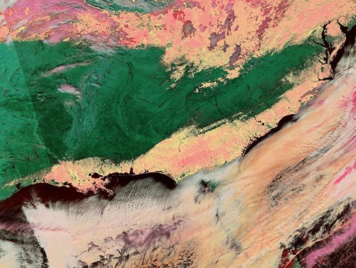
Image captured on Jan 22, 2025, by the VIIRS instrument aboard the joint NASA/NOAA NOAA-20 platform.
Worldview Image of the Week
Jan. 23, 2025
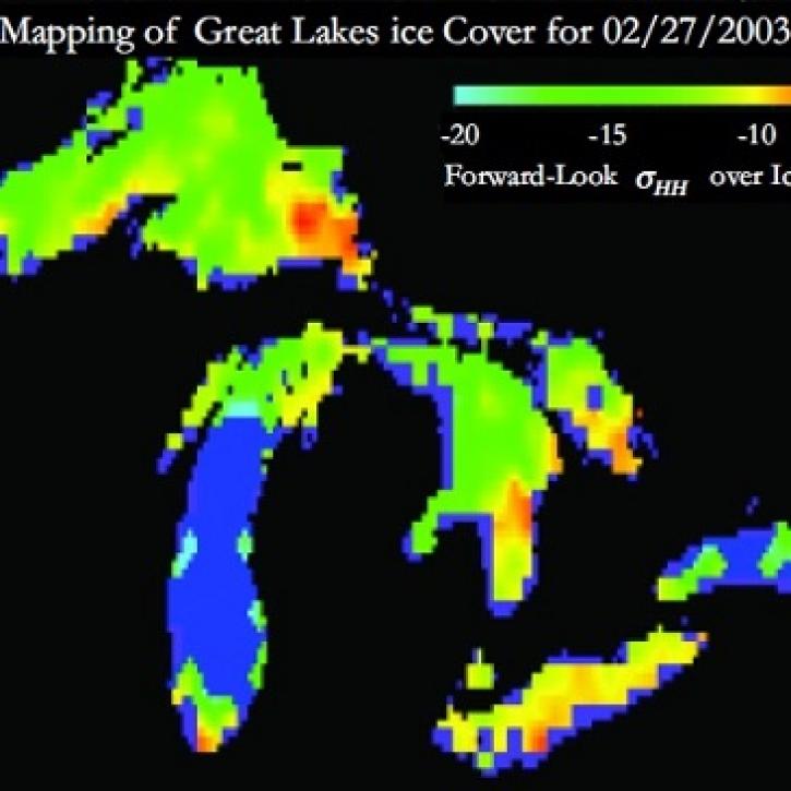
Understanding Great Lakes ice means enduring some tough conditions.
Feature Article
June 2, 2023
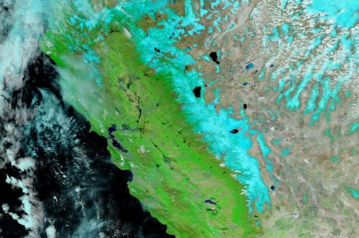
Image captured Apr 5, 2023, by the VIIRS instrument aboard the joint NASA/NOAA NOAA-20 satellite.
Worldview Image of the Week
April 6, 2023

Image captured on 28 December 2020, by the MODIS instrument, aboard the Terra satellite.
Worldview Image of the Week
Jan. 4, 2021
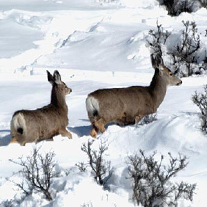
Satellite sensing of summer plants and winter snow helps biologists predict mule deer populations.
Feature Article
Dec. 28, 2020

Polluted air over Asia is changing patterns in remote mountain ranges.
Feature Article
Dec. 28, 2020
SHOWING 8 OF 20