Delivery of Suomi National Polar-orbiting Partnership (Suomi NPP) satellite data products will cease on November 1, 2026. Data users should transition now to alternative products from NOAA-21 and NOAA-20.
Suomi NPP data announcement
Snow/Ice News
Articles, resources, and announcements from Snow/Ice.

This citizen science research effort is creating a flurry of excitement for measuring snow in the Catskill and Adirondack Mountains.
News
March 14, 2025
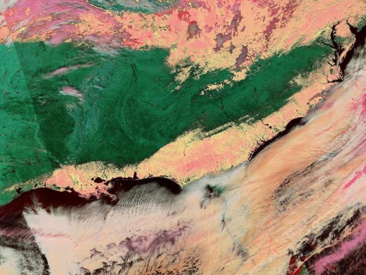
Image captured on Jan 22, 2025, by the VIIRS instrument aboard the joint NASA/NOAA NOAA-20 platform.
Worldview Image of the Week
Jan. 23, 2025
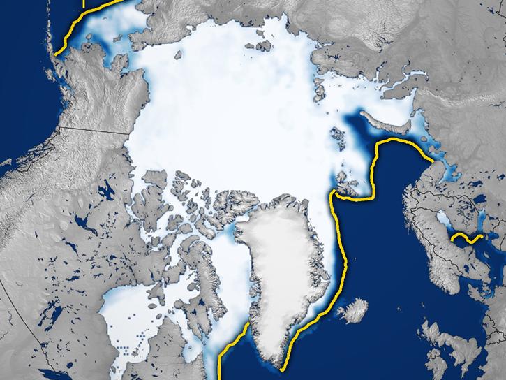
Join us for a tour of enhanced data product landing pages, new user resources, data visualization tools, and a Jupyter Notebook tutorial to access cryospheric data at NASA's National Snow and Ice Data Center DAAC.
Webinar
Aug. 22, 2024

NASA has long used imaging spectroscopy to peer into space. Now, scientists are using the technology to take a closer look at Earth.
Data User Story
Feb. 15, 2024
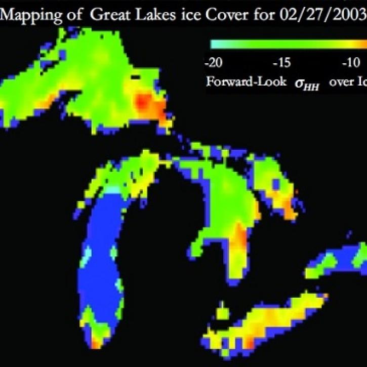
Understanding Great Lakes ice means enduring some tough conditions.
Feature Article
June 2, 2023
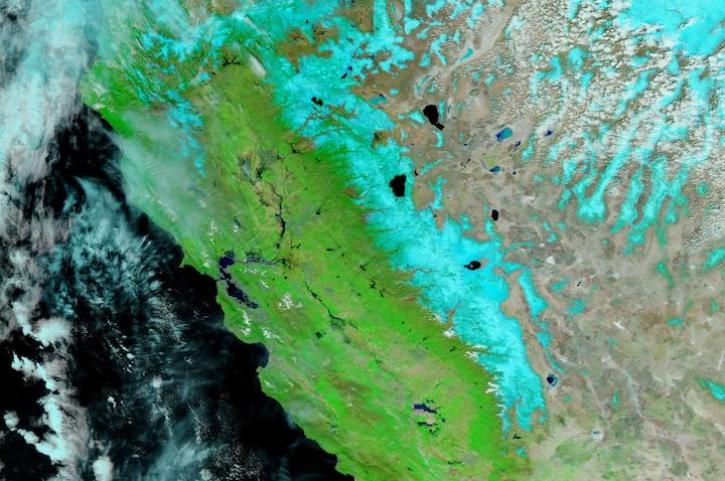
Image captured Apr 5, 2023, by the VIIRS instrument aboard the joint NASA/NOAA NOAA-20 satellite.
Worldview Image of the Week
April 6, 2023

Data from NASA’s NSIDC DAAC helps scientists like Dr. Kristin Poinar develop the next generation of models for forecasting sea-level rise from melting glaciers and ice sheets.
Data User Story
May 3, 2022

Image captured on Dec. 11, 2021, by the MODIS instrument aboard the Terra satellite.
Worldview Image of the Week
Jan. 29, 2022
SHOWING 8 OF 68