We are in the process of migrating all NASA Earth science data sites into Earthdata from now until end of 2026. Not all NASA Earth science data and resources will appear here until then. Thank you for your patience as we make this transition.
Read about the Web Unification Project
Diseases/Epidemics Learning Resources
Webinars, tutorials, data recipes and more to help you work with Diseases/Epidemics.
Filters
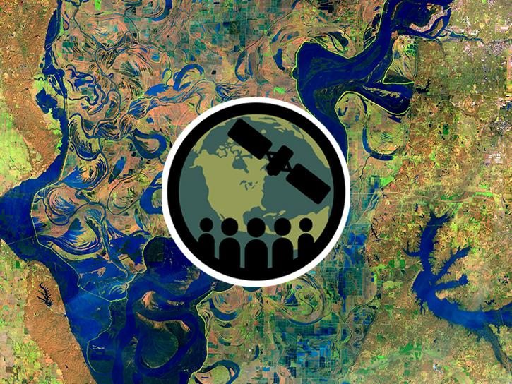
This ARSET training introduces STREAM, a web tool for monitoring chlorophyll-a concentration, Secchi disk depth, and total suspended solids in inland lakes and coastal regions.
Training
Feb. 10-17, 2026
This ARSET training covers NASA data providing near global coverage of coastal and near-shore satellite-derived bathymetry (SDB) measurements.
Training
Dec. 2-4, 2025
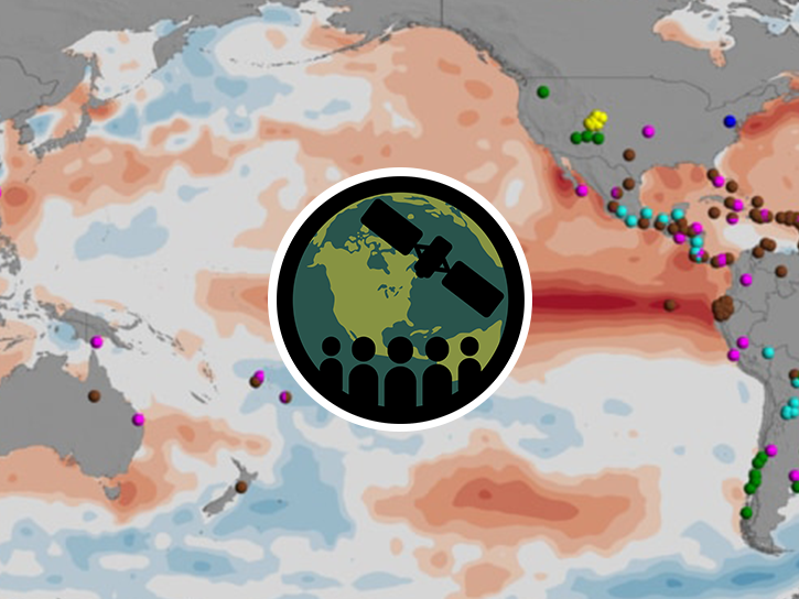
This ARSET training covers general approaches to apply satellite remote sensing data when studying or forecasting climate-sensitive infectious diseases.
Training
Oct. 7-9, 2025
This ARSET training describes remote sensing observations useful as water quality indicators of waterborne diseases.
Training
March 25-27, 2025
Read highlights of three publications that detail how NASA Earth observation data informs forest structure mapping, disease vector tracking, and mineral identification.
Data in Action
April 26, 2021
Join us for an introduction to NASA SEDAC's Global COVID-19 Viewer - a map-based tool for understanding the spread of the Coronavirus and underlying risk factors. During the webinar, participants will learn about its development and then a live demonstration of the viewer focusing on current hotspots, interesting trends, and an exploration of the risk factors will be provided.
Webinar
Oct. 30, 2020
Learn how MODIS data help predict the spread of West Nile virus.
Data in Action
Sept. 17, 2017
Explore how MODIS data supports research on tick-borne disease spread in Kansas, water stress in African rangelands, and long-term greenness trends in Alaska’s boreal ecosystems.
Data in Action
Oct. 28, 2014
SHOWING 8 OF 8
Frequently Asked Questions
Earthdata Forum
Our online forum provides a space for users to browse thousands of FAQs about research needs, data, and data applications. You can also submit new questions for our experts to answer.
Submit Questions to Earthdata Forumand View Expert Responses

