Due to the lapse in federal government funding, NASA is not updating this website. We sincerely regret this inconvenience.
Environmental Impacts News
Articles, resources, and announcements from Environmental Impacts.
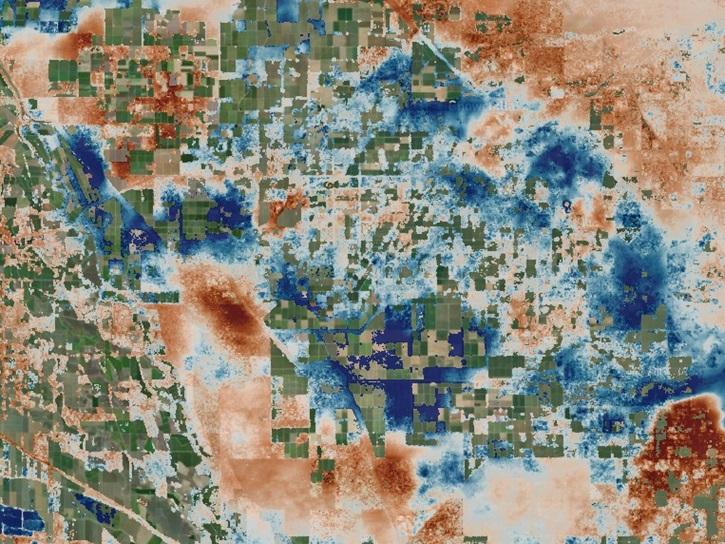
The OPERA Level 3 displacement products provide detailed information on land surface changes, and include the first open-access InSAR time-series displacement products available over North America.
News
May 22, 2025
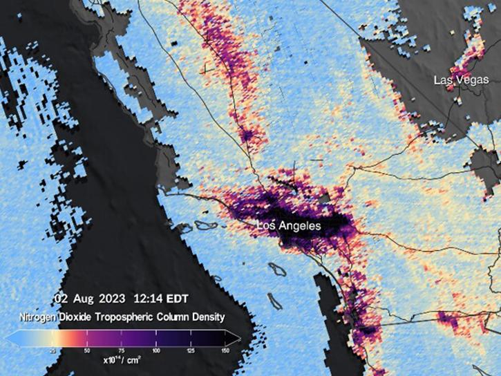
More than a dozen Level 1, 2, and 3 data products from NASA's Tropospheric Emissions: Monitoring of Pollution (TEMPO) Version 03 collection are now available at provisional maturity.
News
Dec. 16, 2024

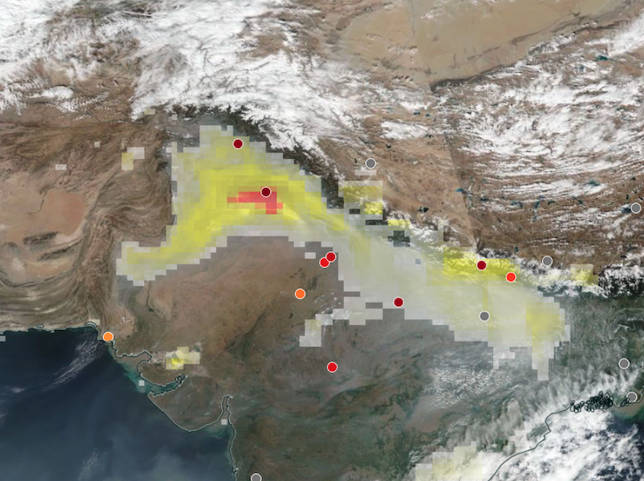
Image captured on Dec 10, 2024, by the TEMPO instrument aboard the Intesat-40e platform.
Worldview Image of the Week
Dec. 12, 2024
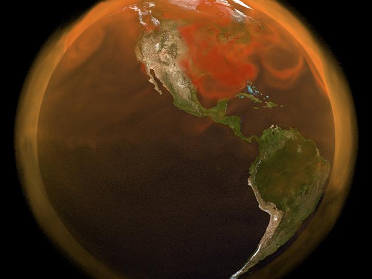
Base corrected reflectance image acquired on Nov 12, 2024, with aerosol index overlaid with ground-based aerosol optical depth measurements.
Worldview Image of the Week
Nov. 14, 2024
NASA representatives are part of the National Nature Assessment, which will take stock of U.S. lands, waters, wildlife, and ecosystems.
News
Aug. 19, 2024

Base corrected reflectance image with aerosol optical thickness acquired on August 15, 2024, by the Suomi NPP/VIIRS instrument overlaid with AERONET sites showing ground-based aerosol optical depth measurements.
Worldview Image of the Week
Aug. 16, 2024
New carbon dioxide and methane data, expanded spatial and temporal resolution for several datasets, and an enhanced data exploration environment are some of the updates in this beta release.
News
June 4, 2024
The Surface Water and Ocean Topography (SWOT) mission provides critical data for understanding Earth's water cycle, including data about freshwater systems that have not been available from any previous hydrology-related missions.
Data User Story
May 15, 2024
SHOWING 8 OF 72