Due to the lapse in federal government funding, NASA is not updating this website. We sincerely regret this inconvenience.
Hazard Mitigation/Planning News
Articles, resources, and announcements from Hazard Mitigation/Planning.
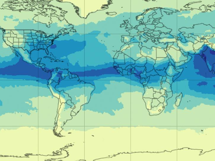
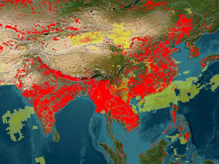
NASA's AIRS instrument provides information about precipitable water vapor, a key variable in determining the potential strength of hurricanes and tropical cyclones.
Blog
Sept. 30, 2025

Join us on Tues., Sept. 30, to learn more about NASA CSDA program vendor PlanetiQ and to learn how to discover, access, and work with their GNSS Radio Occultation (GNSS-RO) data.
Webinar
Sept. 16, 2025
This training, offered by NASA's ARSET program, explores how solar induced fluorescence is used to assess changes in vegetation in regard to droughts, floods, and fires.
News
Sept. 15, 2025
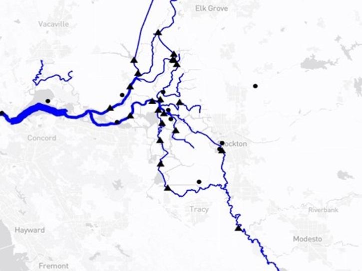
The Water Information from SPace (WISP) dashboard brings together data from NASA’s SWOT satellite and USGS streamgages in a user-friendly application.
Blog
July 30, 2025

The Climate Prediction Center (CPC) 4 km Infrared (IR) dataset archive now extends back to January 1998, offering over 25 years of high-resolution infrared observations and continuing into the present.
News
June 20, 2025
Learn more about the NASA Commercial Satellite Data Acquisition (CSDA) program vendor ICEYE US and how to discover, access, and work with ICEYE's high-resolution SAR products.
Webinar
April 15, 2025

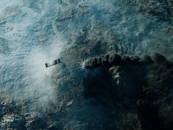
Image captured on Apr 10, 2025, by the MODIS instrument aboard the Terra platform.
Worldview Image of the Week
April 11, 2025
An upcoming training offered by NASA's ARSET program explores how to use FIRMS to track wildland fire activity and its effects.
News
April 9, 2025
SHOWING 8 OF 63