We are in the process of migrating all NASA Earth science data sites into Earthdata from now until end of 2026. Not all NASA Earth science data and resources will appear here until then. Thank you for your patience as we make this transition.
Read about the Web Unification Project
Land Management Learning Resources
Webinars, tutorials, data recipes and more to help you work with Land Management.
Filters
This ARSET training explores how the R statistical coding language can be used to classify land cover and quantify changes in land cover over time.
Training
Feb. 24-26, 2026
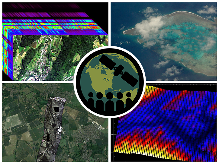
This self-paced ARSET training introduces the basics of hyperspectral remote sensing and its potential applications for land and ocean systems.
Training
Ongoing
This ARSET training provides an overview of spectral indices for land and aquatic applications as they are calculated with the QGIS platform.
Training
Feb. 27, 2025
This training provides an overview of spectral indices for land and aquatic applications.
Training
Oct. 26 - Nov. 9, 2023
This training provides an overview of machine learning and how to apply algorithms and techniques to Earth science data.
Training
April 20 - May 4, 2023
Esta capacitación presentará una visión general del aprendizaje automático orientado hacia las Ciencias de la Tierra.
Training
April 20 - May 4, 2023
This ARSET training highlights the use of hyperspectral data for measuring and monitoring terrestrial and aquatic biodiversity.
Training
March 27 - April 5, 2023
Esta capacitación de ARSET presenta cómo utilizar la teledetección y la espectrometría para monitorear la vegetación acuática y costera.
Training
July 12-19, 2022
Frequently Asked Questions
Earthdata Forum
Our online forum provides a space for users to browse thousands of FAQs about research needs, data, and data applications. You can also submit new questions for our experts to answer.
Submit Questions to Earthdata Forumand View Expert Responses


