Due to the lapse in federal government funding, NASA is not updating this website. We sincerely regret this inconvenience.
Human Dimensions Learning Resources
Webinars, tutorials, data recipes and more to help you work with Human Dimensions.
Filters
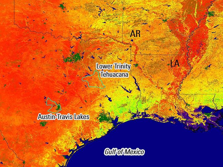
Learn to use the Application for Extracting and Exploring Analysis Ready Samples (AppEEARS) tool with various fire, temperature, precipitation, and vegetation data.
Webinar
Oct. 25, 2019
The Application for Extracting and Exploring Analysis Ready Samples (AppEEARS) tool simplifies data access, extraction, transformation, and visualization for defined areas.
Tutorial
Nov. 9, 2018
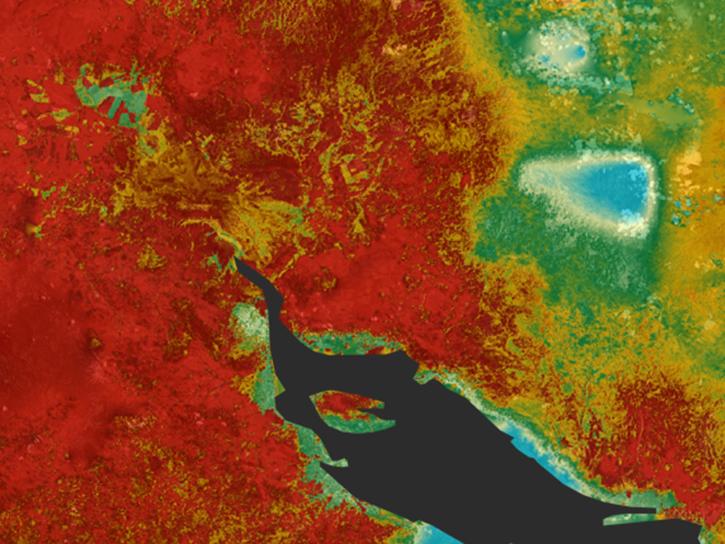
Remote sensing data's drought-indicating parameters are essential to manage the impact of water scarcities and minimize drought losses.
Data in Action
June 27, 2018
Learn how ECOSTRESS measures surface temperatures to assess plant water use and stress, aiming to optimize agricultural practices and support ecosystem health.
Tutorial
June 25, 2018
Sentinel-1 synthetic aperture radar (SAR) imagery is sensitive to standing water, making it an ideal tool for mapping the extent of floodwater covering an area.
Data Recipe
Dec. 3, 2017
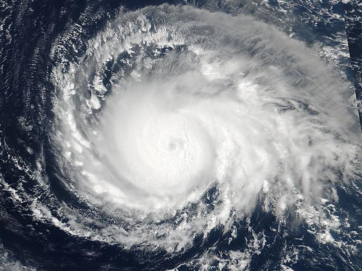
See how data from MODIS and VIIRS allow meteorologists to observe how a hurricane formed, where it went, how long it lasted, and its impact.
Data in Action
Oct. 19, 2017
Learn how MODIS data help predict the spread of West Nile virus.
Data in Action
Sept. 17, 2017
Population data from the Gridded Population of the World (GPW) project and land surface temperature data from MODIS show that higher UN-adjusted population density correlates with higher Urban Heat Island temperatures.
Data in Action
Aug. 4, 2017
Pagination
SHOWING 8 OF 186
Frequently Asked Questions
Earthdata Forum
Our online forum provides a space for users to browse thousands of FAQs about research needs, data, and data applications. You can also submit new questions for our experts to answer.
Submit Questions to Earthdata Forumand View Expert Responses

