Due to the lapse in federal government funding, NASA is not updating this website. We sincerely regret this inconvenience.
Human Dimensions Learning Resources
Webinars, tutorials, data recipes and more to help you work with Human Dimensions.
Filters
Follow Superstorm Sandy's lifecycle and impacts, and how the recovery of affected ecosystems were tracked by NASA remote sensing data.
Data in Action
July 6, 2017
Learn how to interpret and utilize quality information within Moderate Resolution Imaging Spectroradiometer (MODIS) Thermal Anomalies and Fire data.
Tutorial
April 5, 2017
Learn how to use Moderate Resolution Imaging Spectroradiometer (MODIS) Thermal Anomalies and Fire data, interpret fire masks, and visualize data.
Tutorial
April 5, 2017
Learn how to access Moderate Resolution Imaging Spectroradiometer (MODIS) Thermal Anomalies and Fire data via Earthdata Search, covering product details and download steps.
Tutorial
April 5, 2017
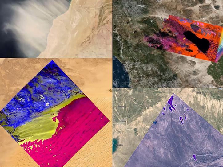
The West Africa Atlas uses ASTER data, aerial imagery, and ground images to illustrate changes and responses to environmental challenges in 17 countries.
Data in Action
March 1, 2017
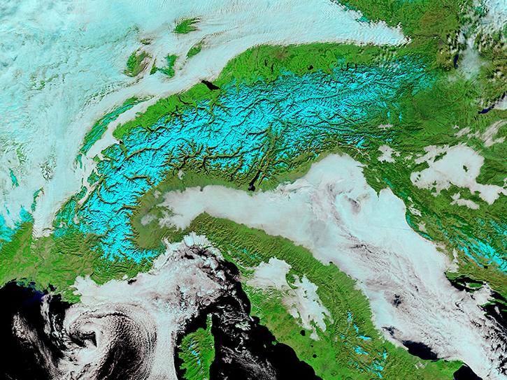
Satellite data from NASA's MODIS instrument illustrates the relationship between snow cover and temperature and the viability of skiing conditions over time.
Data in Action
Feb. 2, 2017
View LP DAAC's presentation at the Black Hills Digital Mapping Association's 2016 annual conference.
Webinar
Oct. 4, 2016
Join us on at 2pm ET to learn about Arctic Boreal Vulnerability Experiment (ABoVE) Data Management Best Practices.
Webinar
Aug. 31, 2016
Pagination
SHOWING 8 OF 186
Frequently Asked Questions
Earthdata Forum
Our online forum provides a space for users to browse thousands of FAQs about research needs, data, and data applications. You can also submit new questions for our experts to answer.
Submit Questions to Earthdata Forumand View Expert Responses