We are in the process of migrating all NASA Earth science data sites into Earthdata from now until end of 2026. Not all NASA Earth science data and resources will appear here until then. Thank you for your patience as we make this transition.
Read about the Web Unification Project
Natural Hazards News
Articles, resources, and announcements from Natural Hazards.
Remote sensing data help researchers measure change in the Alaskan landscape.
Data User Story
April 17, 2022

Image captured on Dec 30, 2021, by the ABI instrument aboard the GOES-East satellite.
Worldview Image of the Week
Feb. 1, 2022

Image captured on Jan 11, 2022 by the MODIS instrument aboard the Terra satellite.
Worldview Image of the Week
Feb. 1, 2022
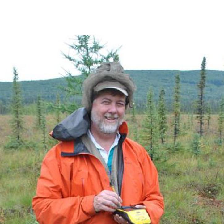
Data from NASA’s ORNL DAAC helps scientists like Dr. Kevin Schaefer detect climate-induced thawing of permafrost throughout the Arctic.
Data User Story
Jan. 31, 2022
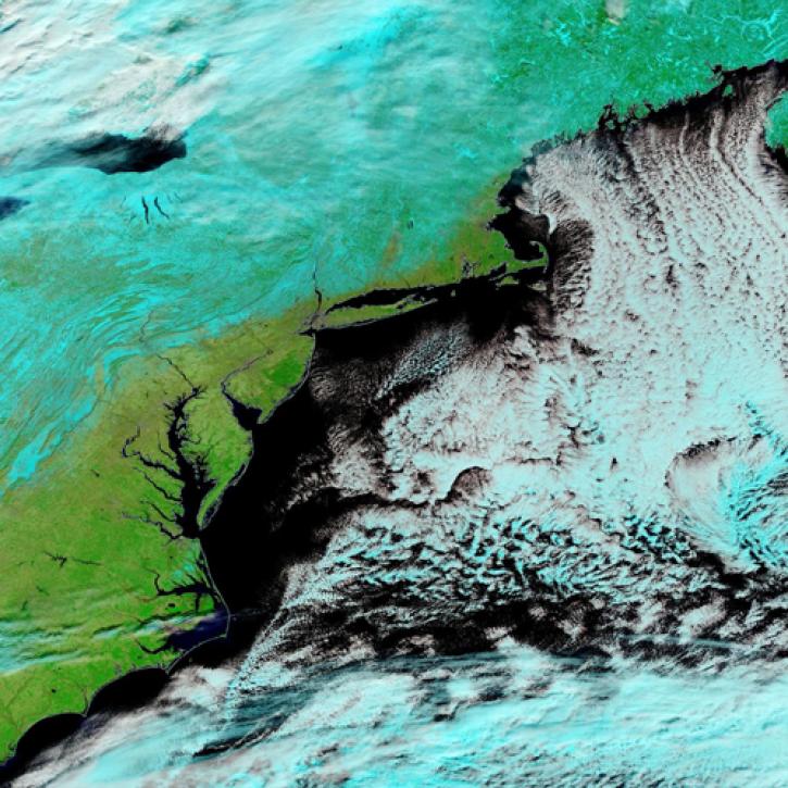
Image captured Jan 30, 2022, by the MODIS instrument aboard the Terra satellite.
Worldview Image of the Week
Jan. 31, 2022
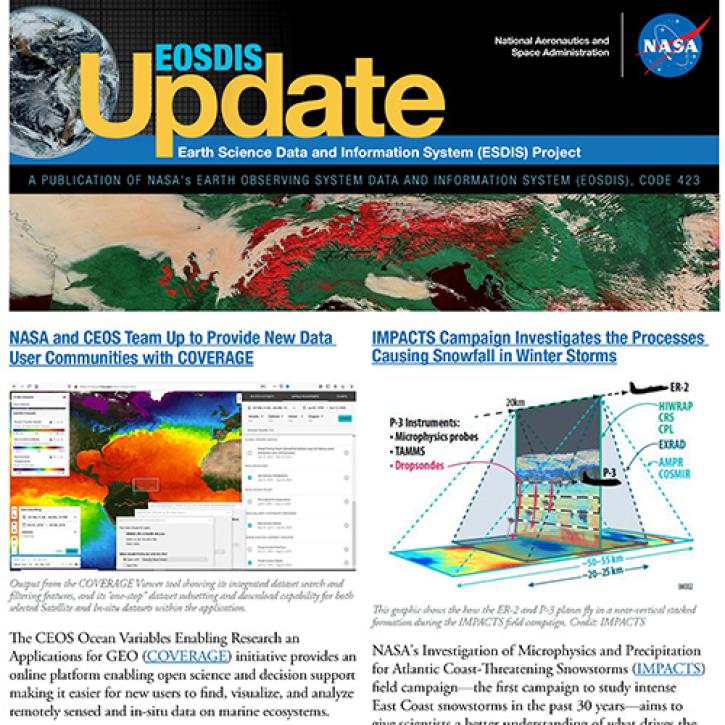
Read about the latest EOSDIS work in the Fall 2021 EOSDIS Update newsletter.
News
Jan. 26, 2022
Synthetic aperture radar may give researchers an opportunity to study volcanoes in finer detail than ever before.
Data User Story
Jan. 23, 2022

FIRMS recently added a location tool to enable users to easily find and save places of interest.
Blog
Jan. 11, 2022
SHOWING 8 OF 534