We are in the process of migrating all NASA Earth science data sites into Earthdata from now until end of 2026. Not all NASA Earth science data and resources will appear here until then. Thank you for your patience as we make this transition.
Read about the Web Unification Project
Natural Hazards News
Articles, resources, and announcements from Natural Hazards.

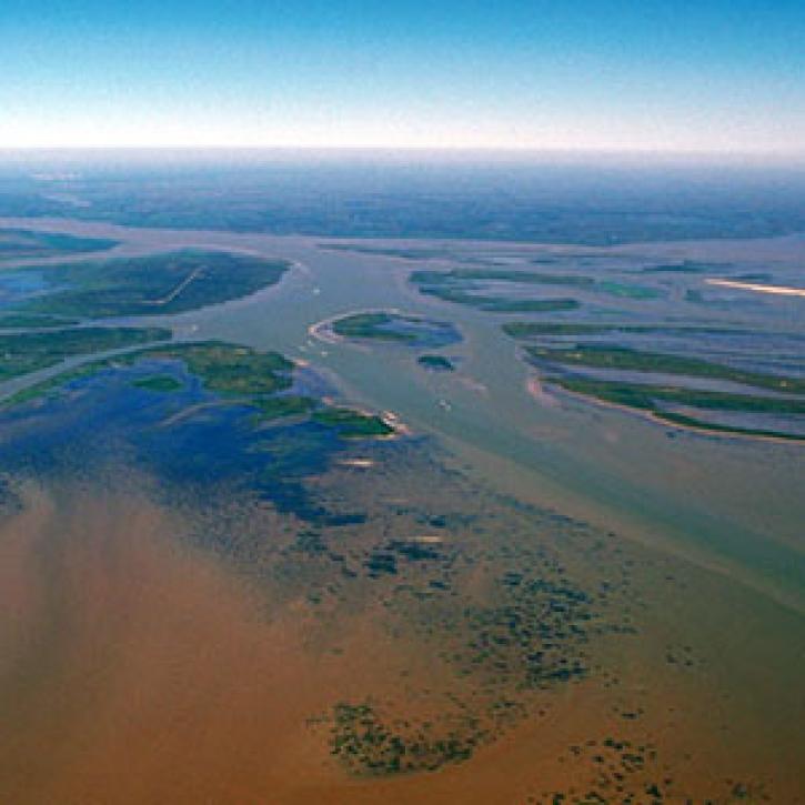
Complex structures keep the Mississippi River out of the Atchafalaya, for now.
Feature Article
Dec. 27, 2020
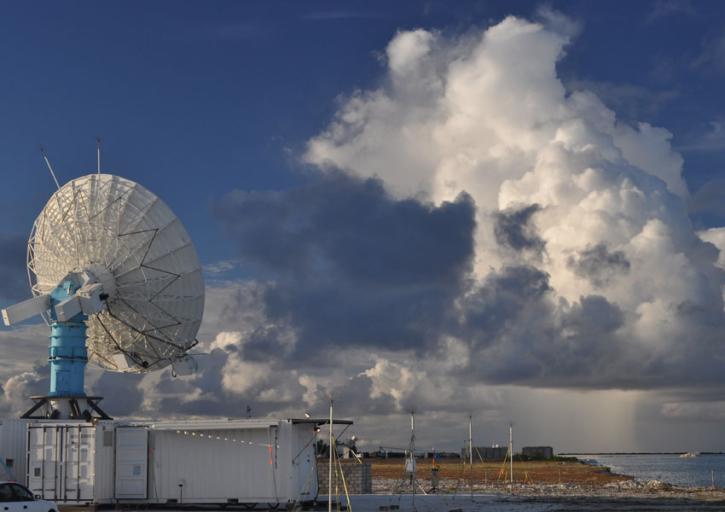
Convection meets the Indian Ocean for supersize weather.
Feature Article
Dec. 27, 2020

Who Uses NASA Earth Science Data? Lars Bromley, to study the integration of satellite imagery and geospatial data in supporting global UN operations and activities in the areas of disaster response, humanitarian support, human security, and human rights.
Data User Story
Dec. 22, 2020

Who Uses NASA Earth Science Data? Kevin Gallo, to improve radar and satellite estimations of hail size and damage.
Data User Story
Dec. 22, 2020

Who uses NASA Earth science data? Katherine Pitts, to study the impacts of climate change and analyze remotely-sensed geophysical data.
Data User Story
Dec. 22, 2020

Who uses NASA Earth science data? Dr. Nancy French, to study the effects of wildfires on forest ecosystems.
Data User Story
Dec. 22, 2020

Who uses NASA Earth science data? Dr. Mike Ramsey, for developing new ways to study active volcanoes and to provide data to support emergency response.
Data User Story
Dec. 22, 2020
SHOWING 8 OF 534