We are in the process of migrating all NASA Earth science data sites into Earthdata from now until end of 2026. Not all NASA Earth science data and resources will appear here until then. Thank you for your patience as we make this transition.
Read about the Web Unification Project
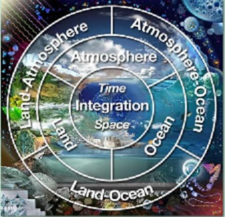
Natural Hazards News
Articles, resources, and announcements from Natural Hazards.

Scientists use gridded population of the world (GPW) data to study hazards and populations.
Feature Article
July 22, 2020
The IGBP takes the first steps towards attaining a better understanding of dust storms.
Feature Article
July 22, 2020
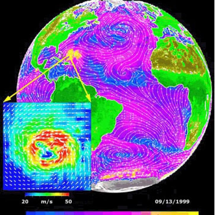
Data from NASA satellites allow researchers to detect potential hurricanes up to two days earlier than with traditional forecasting methods.
Feature Article
July 22, 2020

ASTER data help evaluate fire scars by using VNIR to find differences in vegetation.
Feature Article
July 22, 2020
Synthetic Aperture Radar aboard the JERS-1 satellite collects data from the world's tropical forests.
Feature Article
July 22, 2020

Researchers link the Greenland snow melt anomaly to the eruption of Mount Pinatubo.
Feature Article
July 22, 2020

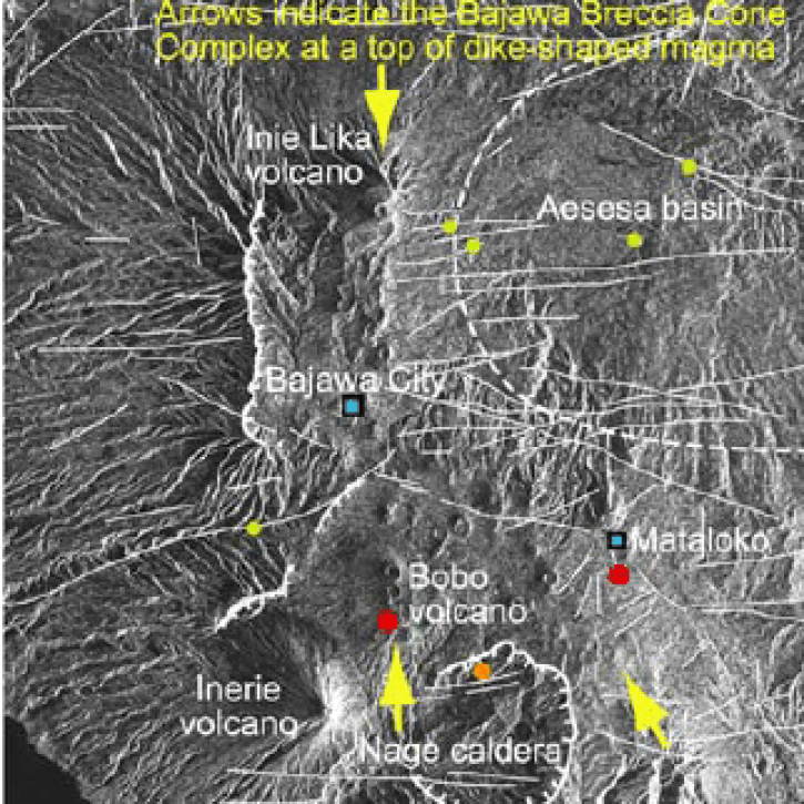
Scientists study Mount Unzen in Japan to explore the use of satellite data to monitor volcanic domes.
Feature Article
July 21, 2020
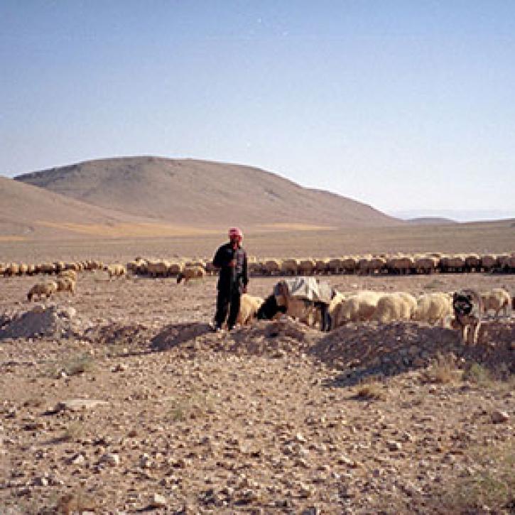
Remote estimates of crop yields help international aid agencies decide how to act.
Feature Article
July 21, 2020
SHOWING 8 OF 534