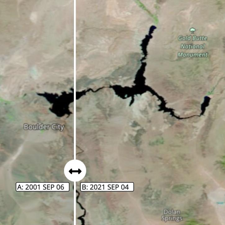
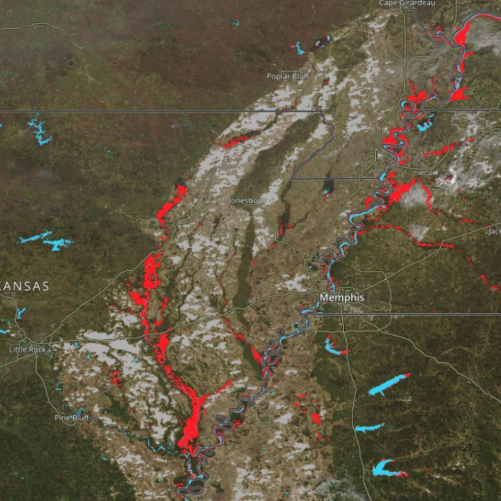
NASA has water management datasets that help researchers characterize the particular makeup of the air we breathe. Access a range of data and data tools such as AppEEARS, FIRMS, and Giovanni to make the most of water management data.
Water Management Data Access and Tools
Featured Water Management Observation Method: MODIS
The Moderate Resolution Imaging Spectroradiometer (MODIS) continually collects data with global coverage every one to two days. Its exceptionally broad spectral range enables MODIS data to be used in studies across numerous disciplines, including changes in land cover and land use, and flood detection. An important attribute of MODIS data is the availability of MODIS data products in real-time and near real-time. Direct broadcast stations around the world download raw MODIS data in real-time directly from the satellite, while NASA’s Land, Atmosphere Near Real-time Capability for EOS (LANCE) provides several MODIS products within three hours of satellite observation.
Frequently Asked Questions
Earthdata Forum
Our online forum provides a space for users to browse thousands of FAQs about research needs, data, and data applications. You can also submit new questions for our experts to answer.
Submit Questions to Earthdata Forumand View Expert Responses