Delivery of Suomi National Polar-orbiting Partnership (Suomi NPP) satellite data products will cease on November 1, 2026. Data users should transition now to alternative products from NOAA-21 and NOAA-20.
Suomi NPP data announcement
Wildfires News
Articles, resources, and announcements from Wildfires.
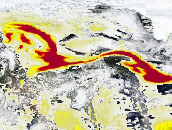
Image captured May 29, 2025, by the VIIRS and OMPS instruments aboard the joint NASA/NOAA Suomi NPP platform.
Worldview Image of the Week
May 30, 2025
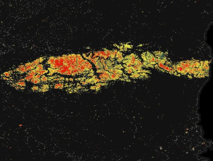
Image for May 8, 2025, derived from OPERA's Harmonized Landsat Sentinel-2 Land Surface Disturbance data.
Worldview Image of the Week
May 15, 2025
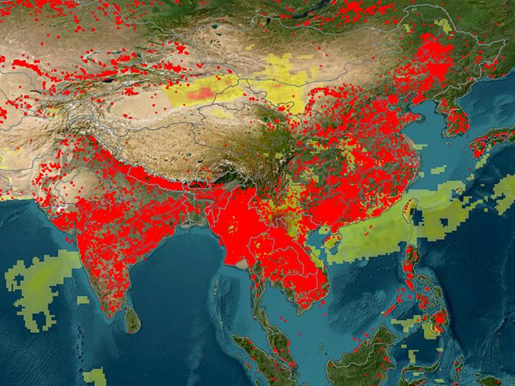
An upcoming training offered by NASA's ARSET program explores how to use FIRMS to track wildland fire activity and its effects.
News
April 9, 2025
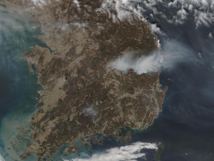
Image captured on Mar 26, 2025, by the VIIRS instrument aboard the joint NASA/NOAA NOAA-21 platform.
Worldview Image of the Week
March 27, 2025
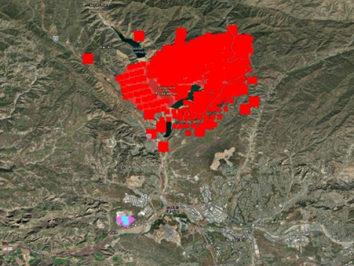
Users of NASA’s Fire Information for Resource Management System (FIRMS) can now differentiate between fires caused by burning vegetation and fires from natural heat sources or industrial heat sources.
Blog
March 7, 2025
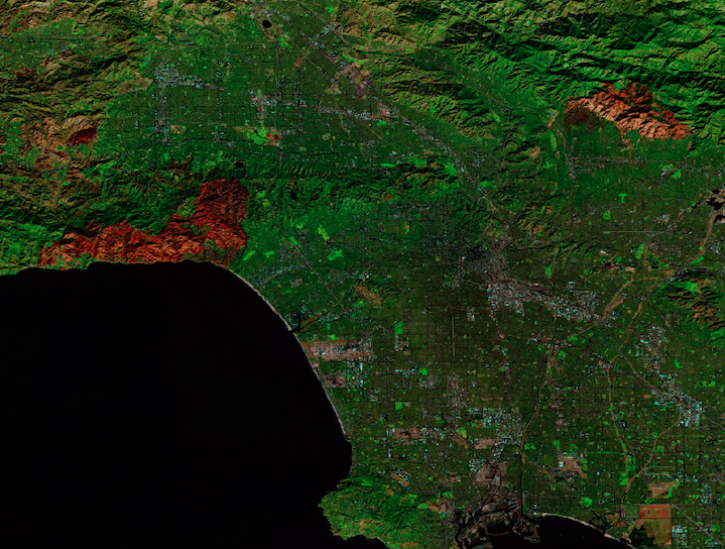
Image captured on Jan 12, 2025, by the MSI instrument aboard ESA's Sentinel-2A platform.
Worldview Image of the Week
Jan. 17, 2025
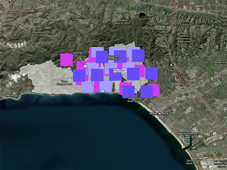
Satellite-based maps offer quick first alerts and approximate locations of potential wildfires that are then precisely tracked and fought by teams on the ground.
Feature Article
Jan. 13, 2025

Image captured on Jan 8, 2025, by the MODIS instrument aboard the Aqua platform.
Worldview Image of the Week
Jan. 9, 2025
SHOWING 8 OF 221